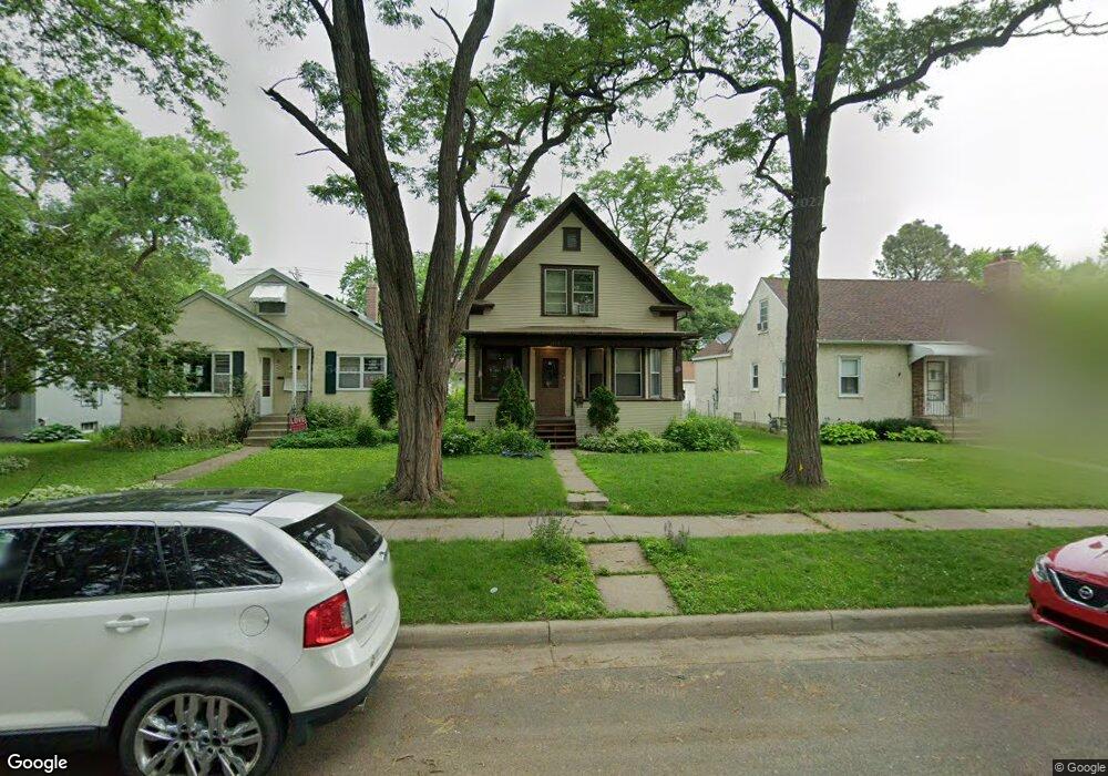
1579 Race St Saint Paul, MN 55102
West Seventh NeighborhoodEstimated Value: $250,000 - $434,000
3
Beds
1
Bath
1,036
Sq Ft
$306/Sq Ft
Est. Value
About This Home
This home is located at 1579 Race St, Saint Paul, MN 55102 and is currently estimated at $317,029, approximately $306 per square foot. 1579 Race St is a home located in Ramsey County with nearby schools including Expo for Excellence Elementary School, Highland Park Middle School, and Highland Park Senior High.
Ownership History
Date
Name
Owned For
Owner Type
Purchase Details
Closed on
Jul 16, 2019
Sold by
Rimmer Phillip A
Bought by
Rimmer Joseph
Current Estimated Value
Home Financials for this Owner
Home Financials are based on the most recent Mortgage that was taken out on this home.
Original Mortgage
$188,491
Outstanding Balance
$166,565
Interest Rate
4.25%
Mortgage Type
FHA
Estimated Equity
$150,464
Purchase Details
Closed on
Aug 15, 2014
Sold by
Moynihan Dennis
Bought by
Rimmer Benjamin R
Home Financials for this Owner
Home Financials are based on the most recent Mortgage that was taken out on this home.
Original Mortgage
$6,300
Interest Rate
4.1%
Mortgage Type
Negative Amortization
Create a Home Valuation Report for This Property
The Home Valuation Report is an in-depth analysis detailing your home's value as well as a comparison with similar homes in the area
Home Values in the Area
Average Home Value in this Area
Purchase History
| Date | Buyer | Sale Price | Title Company |
|---|---|---|---|
| Rimmer Joseph | $195,000 | Minnesota Title Inc | |
| Rimmer Benjamin R | $130,848 | Liberty Title Inc | |
| Moynihan Thomas K | -- | Liberty Title Inc |
Source: Public Records
Mortgage History
| Date | Status | Borrower | Loan Amount |
|---|---|---|---|
| Open | Rimmer Joseph | $188,491 | |
| Previous Owner | Moynihan Thomas K | $6,300 | |
| Previous Owner | Rimmer Benjamin R | $123,190 |
Source: Public Records
Tax History
| Year | Tax Paid | Tax Assessment Tax Assessment Total Assessment is a certain percentage of the fair market value that is determined by local assessors to be the total taxable value of land and additions on the property. | Land | Improvement |
|---|---|---|---|---|
| 2025 | $3,356 | $218,800 | $40,000 | $178,800 |
| 2023 | $3,356 | $173,900 | $40,000 | $133,900 |
| 2022 | $3,064 | $173,800 | $40,000 | $133,800 |
| 2021 | $3,016 | $166,800 | $40,000 | $126,800 |
| 2020 | $3,022 | $170,200 | $30,000 | $140,200 |
| 2019 | $3,448 | $165,300 | $30,000 | $135,300 |
| 2018 | $2,370 | $165,500 | $30,000 | $135,500 |
| 2017 | $1,970 | $154,100 | $30,000 | $124,100 |
| 2016 | $1,978 | $0 | $0 | $0 |
| 2015 | $1,838 | $123,800 | $20,400 | $103,400 |
| 2014 | $1,668 | $0 | $0 | $0 |
Source: Public Records
Map
Nearby Homes
- 762 Lexington Pkwy S
- 686 Lexington Pkwy S
- 576 Lexington Pkwy S
- 1273 7th St W
- 671 Canton St
- 635 Canton St
- 555 Montcalm Place
- 1251 Bayard Ave
- 844 Armstrong Ave
- 774 W Forster St
- 1206 Niles Ave
- 740 Forster St
- 1306 Eleanor Ave
- 878 Randolph Ave
- 1254 Niles Ave
- 1111 Elway St Unit 506
- 1209 Juno Ave
- 587 Bay St
- 1160 James Ave
- 673 Hamline Ave S
Your Personal Tour Guide
Ask me questions while you tour the home.