158 Locke Ln Sugar Hill, NH 03586
Estimated Value: $929,000 - $1,239,066
2
Beds
3
Baths
2,667
Sq Ft
$410/Sq Ft
Est. Value
About This Home
This home is located at 158 Locke Ln, Sugar Hill, NH 03586 and is currently estimated at $1,093,689, approximately $410 per square foot. 158 Locke Ln is a home with nearby schools including Lafayette Regional School, Profile Junior High School, and Profile Senior High School.
Ownership History
Date
Name
Owned For
Owner Type
Purchase Details
Closed on
Jul 17, 2018
Sold by
Mead David L
Bought by
Mead Stephen
Current Estimated Value
Purchase Details
Closed on
Nov 22, 2011
Sold by
Pinkham Paul W and Pinkham Sharon R
Bought by
Mancini Robert Michael and Lasalle Amy Beth
Purchase Details
Closed on
Sep 20, 2006
Sold by
Dorsey Susan M
Bought by
Mead David L
Create a Home Valuation Report for This Property
The Home Valuation Report is an in-depth analysis detailing your home's value as well as a comparison with similar homes in the area
Home Values in the Area
Average Home Value in this Area
Purchase History
| Date | Buyer | Sale Price | Title Company |
|---|---|---|---|
| Mead Stephen | $75,000 | -- | |
| Mead Stephen | $75,000 | -- | |
| Mancini Robert Michael | $14,000 | -- | |
| Mead David L | $78,400 | -- | |
| Mead David L | $78,400 | -- |
Source: Public Records
Tax History Compared to Growth
Tax History
| Year | Tax Paid | Tax Assessment Tax Assessment Total Assessment is a certain percentage of the fair market value that is determined by local assessors to be the total taxable value of land and additions on the property. | Land | Improvement |
|---|---|---|---|---|
| 2024 | $11,913 | $1,036,800 | $279,000 | $757,800 |
| 2023 | $11,967 | $525,800 | $177,300 | $348,500 |
| 2022 | $10,789 | $525,800 | $177,300 | $348,500 |
| 2021 | $11,517 | $522,300 | $177,300 | $345,000 |
| 2020 | $11,271 | $522,300 | $177,300 | $345,000 |
| 2019 | $10,483 | $522,300 | $177,300 | $345,000 |
| 2018 | $5,140 | $508,000 | $177,300 | $330,700 |
| 2017 | $10,759 | $508,000 | $177,300 | $330,700 |
| 2016 | $4,862 | $508,000 | $177,300 | $330,700 |
| 2015 | $10,836 | $508,000 | $177,300 | $330,700 |
| 2014 | $11,171 | $508,000 | $177,300 | $330,700 |
| 2011 | $8,967 | $481,300 | $153,000 | $328,300 |
Source: Public Records
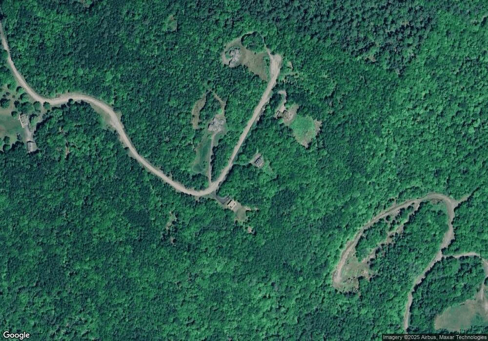
Map
Nearby Homes
- 1318 Route 117
- 725 Sugar Hill Rd
- 1196 Route 117
- Lot 15 Hadley Rd
- 333 Sunset Hill Rd
- 324 Crane Hill Rd
- Lot 4 Catterall Rd
- 00 Catterall Rd Unit A03 & A04
- 00 Buck Ridge and Catterall Rd Unit A03 & A04
- 113 Buck Ridge Rd
- 00 Buck Ridge Rd Unit A03 & A04
- 637 Hadley Rd
- TBD Easton Rd
- 00 New Hampshire 117 Unit 2
- 00 Iron Foundry Rd Unit 153-6
- 359 Bickford Hill Rd
- 624 Bishop Rd
- 610 Bishop Rd
- 000 Hodge Hill Rd
- 398 Plains Rd
- 149 Locke Ln
- 87 Locke Ln
- 261 Kathy Rae Dr
- 11 Kathy Rae Dr
- 254 Kathy Rae Dr
- 451 Gilman Hill Rd
- 83 Locke Ln
- 212 Kathy Rae Dr
- 231 Kathy Rae Dr
- 11 Kathy Rae Dr
- 248 Kathy Rae Dr
- 0 Gilman Hill Rd Unit 7 898123
- 0 Gilman Hill Rd Unit 4
- 321 Center District Rd
- 00 Kathy Rae Dr
- 2220 Route 117
- 64 Kathy Rae Dr
- 31 Northey Hill Rd
- 620 Center District Rd
- TBD Ore Hill Rd