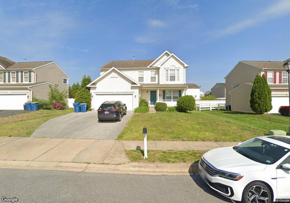
158 Lone Tree Dr Camden, DE 19934
Estimated Value: $379,553 - $456,000
4
Beds
3
Baths
2,248
Sq Ft
$188/Sq Ft
Est. Value
About This Home
This home is located at 158 Lone Tree Dr, Camden, DE 19934 and is currently estimated at $422,888, approximately $188 per square foot. 158 Lone Tree Dr is a home located in Kent County with nearby schools including Nellie Hughes Stokes Elementary School, Fred Fifer Middle School, and Caesar Rodney High School.
Ownership History
Date
Name
Owned For
Owner Type
Purchase Details
Closed on
Jun 12, 2006
Sold by
Newells Creek Developers Llc
Bought by
The Ryland Group Inc
Current Estimated Value
Purchase Details
Closed on
Sep 1, 2005
Sold by
Lord Ralph M and Lord Fred C
Bought by
Newells Creek Devlopers Llc
Home Financials for this Owner
Home Financials are based on the most recent Mortgage that was taken out on this home.
Original Mortgage
$800,000
Interest Rate
5.81%
Mortgage Type
Future Advance Clause Open End Mortgage
Create a Home Valuation Report for This Property
The Home Valuation Report is an in-depth analysis detailing your home's value as well as a comparison with similar homes in the area
Home Values in the Area
Average Home Value in this Area
Purchase History
| Date | Buyer | Sale Price | Title Company |
|---|---|---|---|
| The Ryland Group Inc | $1,489 | None Available | |
| Newells Creek Devlopers Llc | $21,879 | None Available |
Source: Public Records
Mortgage History
| Date | Status | Borrower | Loan Amount |
|---|---|---|---|
| Previous Owner | Newells Creek Devlopers Llc | $800,000 |
Source: Public Records
Tax History Compared to Growth
Tax History
| Year | Tax Paid | Tax Assessment Tax Assessment Total Assessment is a certain percentage of the fair market value that is determined by local assessors to be the total taxable value of land and additions on the property. | Land | Improvement |
|---|---|---|---|---|
| 2025 | $1,451 | $367,200 | $66,800 | $300,400 |
| 2024 | $1,451 | $367,200 | $66,800 | $300,400 |
| 2023 | $1,256 | $49,700 | $3,700 | $46,000 |
| 2022 | $1,185 | $49,700 | $3,700 | $46,000 |
| 2021 | $1,175 | $49,700 | $3,700 | $46,000 |
| 2020 | $1,156 | $49,700 | $3,700 | $46,000 |
| 2019 | $1,110 | $49,700 | $3,700 | $46,000 |
| 2018 | $1,070 | $49,700 | $3,700 | $46,000 |
| 2017 | $1,039 | $49,700 | $0 | $0 |
| 2016 | $1,017 | $49,700 | $0 | $0 |
| 2015 | $850 | $49,700 | $0 | $0 |
| 2014 | $847 | $49,700 | $0 | $0 |
Source: Public Records
Map
Nearby Homes
- 16 Lone Tree Dr
- 79 Tyndall Trail
- 113 Dyer Dr
- 108 Lochmeath Way
- 32 Nanticoke Dr
- 256 Headstart Ln
- 272 King Henry Ct
- 11 N Kimmer Ln Unit 265
- 224 King Henry Ct
- Lot 22 Bee Brookfield Dr
- 35 N Jerman Ln Unit 271
- 870 Brookfield Dr
- 107 S Hairgrove Ln Unit 86
- 850 Brookfield Dr
- 107 S Ellison Ln Unit 78
- 12 Catts Ln Unit 21
- 11939 Willow Grove Rd
- 21 Catts Ln Unit 27
- Aster Plan at Brookfield
- Linden Plan at Brookfield
- 142 Lone Tree Dr
- 174 Lone Tree Dr
- 415 Theater Ln
- 393 Theater Ln
- 130 Lone Tree Dr
- 163 Lone Tree Dr
- 153 Lone Tree Dr
- 381 Theater Ln
- 177 Lone Tree Dr
- 14 Muriel Ct
- 114 Lone Tree Dr
- 212 Lone Tree Dr
- 189 Lone Tree Dr
- 426 Theater Ln
- 369 Theater Ln
- 26 Muriel Ct
- 102 Lone Tree Dr
- 416 Theater Ln
- 199 Lone Tree Dr
- 402 Theater Ln