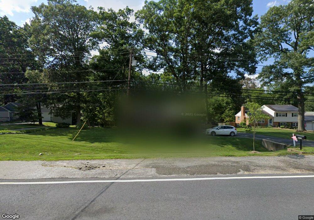
15806 Bond Mill Rd Laurel, MD 20707
West Laurel NeighborhoodEstimated Value: $424,000 - $538,000
--
Bed
3
Baths
1,350
Sq Ft
$361/Sq Ft
Est. Value
About This Home
This home is located at 15806 Bond Mill Rd, Laurel, MD 20707 and is currently estimated at $487,681, approximately $361 per square foot. 15806 Bond Mill Rd is a home located in Prince George's County with nearby schools including Bond Mill Elementary, Martin Luther King Jr. Middle School, and Laurel High School.
Ownership History
Date
Name
Owned For
Owner Type
Purchase Details
Closed on
Sep 18, 2013
Sold by
Sweeney Richard D and Sweeney Pamela J
Bought by
Hobbs Andrew David and Hobbs Laura Christine
Current Estimated Value
Home Financials for this Owner
Home Financials are based on the most recent Mortgage that was taken out on this home.
Original Mortgage
$285,000
Outstanding Balance
$214,431
Interest Rate
4.61%
Mortgage Type
New Conventional
Estimated Equity
$273,250
Purchase Details
Closed on
Sep 18, 1998
Sold by
Stephens Mark R
Bought by
Sweeney Richard D and Sweeney Pamela J
Create a Home Valuation Report for This Property
The Home Valuation Report is an in-depth analysis detailing your home's value as well as a comparison with similar homes in the area
Home Values in the Area
Average Home Value in this Area
Purchase History
| Date | Buyer | Sale Price | Title Company |
|---|---|---|---|
| Hobbs Andrew David | $300,000 | Colony Title Group Ltd | |
| Sweeney Richard D | $169,000 | -- |
Source: Public Records
Mortgage History
| Date | Status | Borrower | Loan Amount |
|---|---|---|---|
| Open | Hobbs Andrew David | $285,000 |
Source: Public Records
Tax History Compared to Growth
Tax History
| Year | Tax Paid | Tax Assessment Tax Assessment Total Assessment is a certain percentage of the fair market value that is determined by local assessors to be the total taxable value of land and additions on the property. | Land | Improvement |
|---|---|---|---|---|
| 2025 | $6,059 | $446,300 | $142,300 | $304,000 |
| 2024 | $6,059 | $417,700 | $0 | $0 |
| 2023 | $5,813 | $389,100 | $0 | $0 |
| 2022 | $4,009 | $360,500 | $102,300 | $258,200 |
| 2021 | $4,264 | $347,700 | $0 | $0 |
| 2020 | $4,189 | $334,900 | $0 | $0 |
| 2019 | $4,091 | $322,100 | $101,100 | $221,000 |
| 2018 | $4,017 | $312,200 | $0 | $0 |
| 2017 | $44 | $302,300 | $0 | $0 |
| 2016 | -- | $292,400 | $0 | $0 |
| 2015 | $3,854 | $292,400 | $0 | $0 |
| 2014 | $3,854 | $292,400 | $0 | $0 |
Source: Public Records
Map
Nearby Homes
- 6802 Niles Dr
- 15622 Bond Mill Rd
- 6003 Windham Rd
- 6918 Scotch Dr
- 6403 Park Hall Dr
- 7019 Redmiles Rd
- 7019 Fitzpatrick Dr
- 16140 Kenny Rd
- 7106 Donston Dr
- 7105 Split Rail Ln
- 15712 Dorset Rd Unit T3
- Dorchester IV Plan at Cole's Manor
- Tidewater Plan at Cole's Manor
- Stratton Plan at Cole's Manor
- Adrienne's Honneur II Plan at Cole's Manor
- Mount Vernon IV Villa 2 Plan at Cole's Manor
- Federal Hill II Plan at Cole's Manor
- 7209 Brooklyn Bridge Rd
- 15708 Dorset Rd Unit 203
- 15708 Dorset Rd Unit 304
- 15808 Bond Mill Rd
- 15720 Bond Mill Rd
- 15900 Bradford Dr
- 15904 Bradford Dr
- 15800 Bond Mill Rd
- 15718 Bond Mill Rd
- 15805 Bond Mill Rd
- 15807 Bond Mill Rd
- 15803 Bond Mill Rd
- 15834 Bradford Dr
- 15709 Plowman Dr
- 15901 Bradford Dr
- 15803 Sherwood Ave
- 15805 Sherwood Ave
- 15801 Sherwood Ave
- 15704 Wayne Ave
- 15708 Wayne Ave
- 15716 Bond Mill Rd
- 15807 Sherwood Ave
- 15712 Wayne Ave