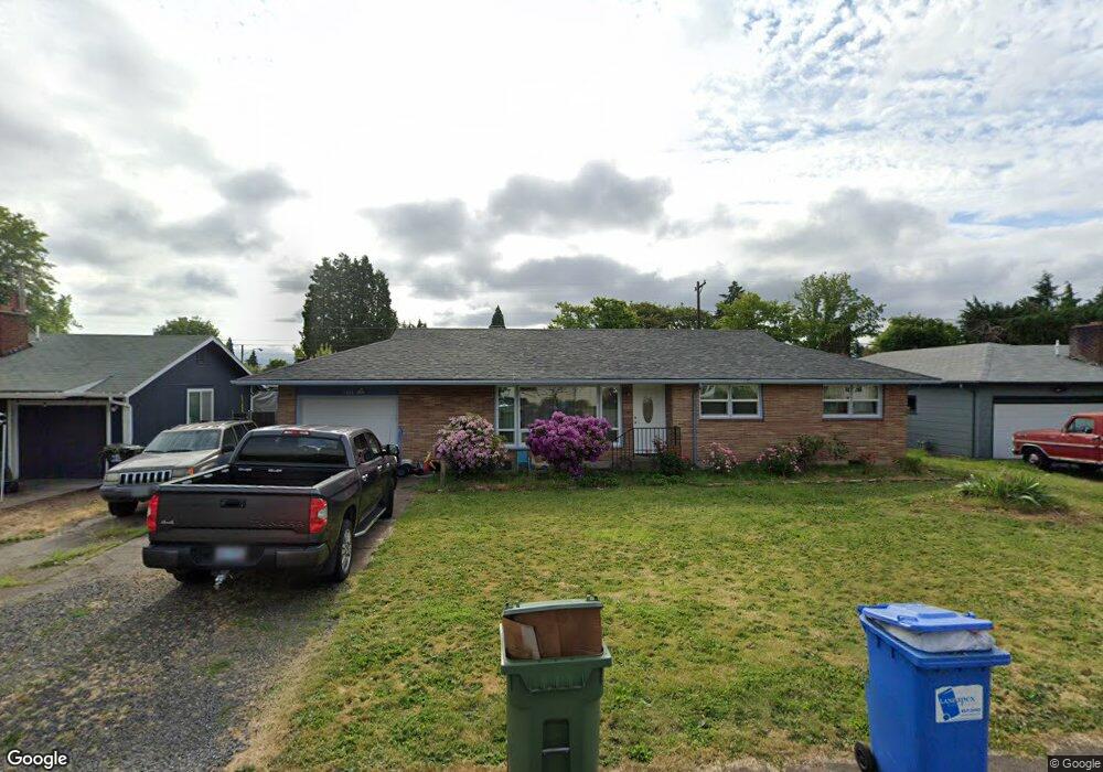
1585 Hemlock St Eugene, OR 97404
River Road NeighborhoodEstimated Value: $384,000 - $417,000
3
Beds
1
Bath
1,536
Sq Ft
$259/Sq Ft
Est. Value
About This Home
This home is located at 1585 Hemlock St, Eugene, OR 97404 and is currently estimated at $397,223, approximately $258 per square foot. 1585 Hemlock St is a home located in Lane County with nearby schools including Howard Elementary School, Kelly Middle School, and North Eugene High School.
Ownership History
Date
Name
Owned For
Owner Type
Purchase Details
Closed on
Mar 28, 2020
Sold by
Olson Sheryl A and Lundgren Sheryl A
Bought by
Olson Sheryl A
Current Estimated Value
Home Financials for this Owner
Home Financials are based on the most recent Mortgage that was taken out on this home.
Original Mortgage
$143,800
Outstanding Balance
$126,557
Interest Rate
3.4%
Mortgage Type
New Conventional
Estimated Equity
$270,666
Purchase Details
Closed on
Jan 3, 2003
Sold by
Keef William
Bought by
Lundgren Sheryl A
Home Financials for this Owner
Home Financials are based on the most recent Mortgage that was taken out on this home.
Original Mortgage
$116,000
Interest Rate
5.96%
Create a Home Valuation Report for This Property
The Home Valuation Report is an in-depth analysis detailing your home's value as well as a comparison with similar homes in the area
Home Values in the Area
Average Home Value in this Area
Purchase History
| Date | Buyer | Sale Price | Title Company |
|---|---|---|---|
| Olson Sheryl A | -- | None Available | |
| Lundgren Sheryl A | $116,000 | Western Pioneer Title Co |
Source: Public Records
Mortgage History
| Date | Status | Borrower | Loan Amount |
|---|---|---|---|
| Open | Olson Sheryl A | $143,800 | |
| Closed | Lundgren Sheryl A | $116,000 |
Source: Public Records
Tax History
| Year | Tax Paid | Tax Assessment Tax Assessment Total Assessment is a certain percentage of the fair market value that is determined by local assessors to be the total taxable value of land and additions on the property. | Land | Improvement |
|---|---|---|---|---|
| 2025 | $2,857 | $170,080 | -- | -- |
| 2024 | $2,826 | $165,127 | -- | -- |
| 2023 | $2,826 | $160,318 | $0 | $0 |
| 2022 | $2,658 | $155,649 | $0 | $0 |
| 2021 | $2,472 | $151,116 | $0 | $0 |
| 2020 | $2,490 | $146,715 | $0 | $0 |
| 2019 | $2,402 | $142,442 | $0 | $0 |
| 2018 | $2,240 | $134,266 | $0 | $0 |
| 2017 | $2,107 | $134,266 | $0 | $0 |
| 2016 | $1,989 | $130,355 | $0 | $0 |
| 2015 | $1,947 | $126,558 | $0 | $0 |
| 2014 | $1,946 | $122,872 | $0 | $0 |
Source: Public Records
Map
Nearby Homes
- 1682 Hemlock St
- 1755 Brentwood Ave
- 1410 Lake Dr
- 389 Maxwell Rd
- 811 Virgil Ave
- 1880 Manihi Dr
- 1725 Allea Dr
- 788 Cornwall Ave
- 1487 Barton St
- 1483 Barton St
- 401 Sterling Dr
- 1384 David Ave
- 1665 Evergreen Dr
- 2002 Kintyre St
- 1010 Horn Ln
- 1164 Veronica Ln
- 1708 River Rd
- 1621 Zoe Ave
- 303 Lenore Loop
- 1633 Zoe Ave
- 1591 Hemlock St
- 1565 Hemlock St
- 1580 Maywood Ave
- 1566 Maywood Ave
- 1590 Maywood Ave
- 1605 Hemlock St
- 1551 Hemlock St
- 1584 Hemlock St
- 1564 Hemlock St
- 1594 Hemlock St
- 1552 Maywood Ave
- 1550 Hemlock St
- 1645 Hemlock St
- 1535 Hemlock St
- 1598 Maywood Ave
- 1540 Maywood Ave
- 1585 Maywood Ave
- 1563 Maywood Ave
- 1587 Brentwood Ave
- 1593 Maywood Ave
Your Personal Tour Guide
Ask me questions while you tour the home.