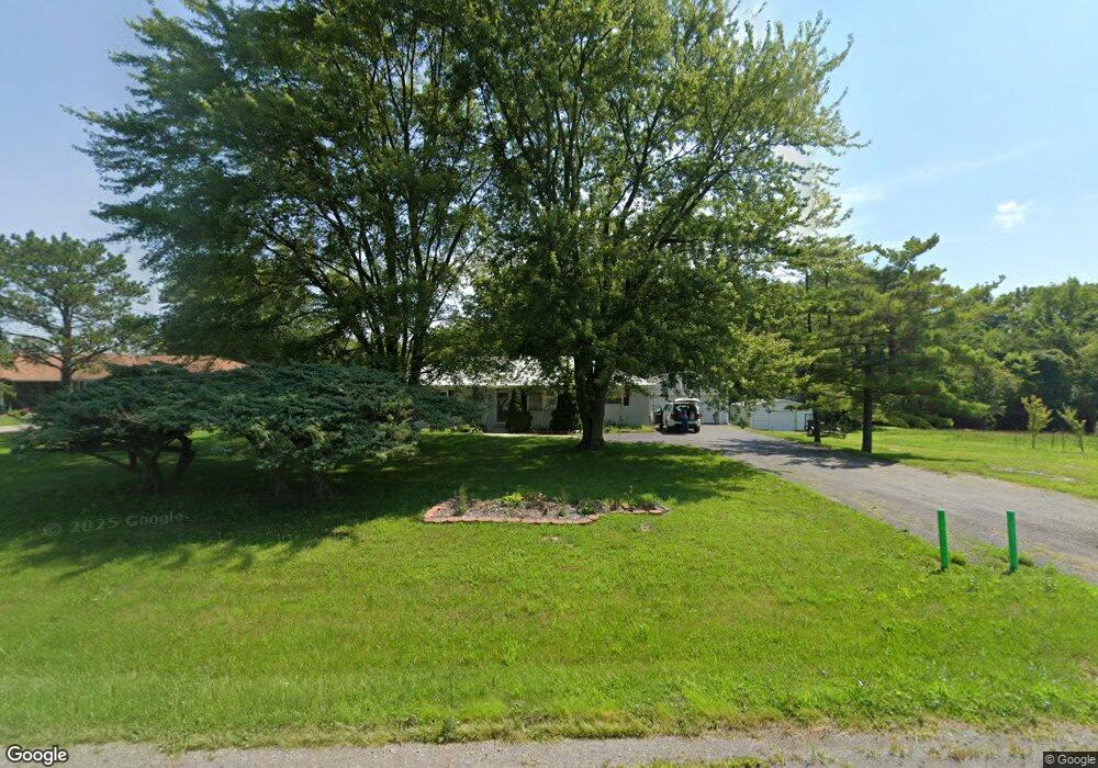
15888 State Route 292 Kenton, OH 43326
Estimated Value: $215,000 - $244,000
3
Beds
2
Baths
1,672
Sq Ft
$139/Sq Ft
Est. Value
About This Home
This home is located at 15888 State Route 292, Kenton, OH 43326 and is currently estimated at $231,704, approximately $138 per square foot. 15888 State Route 292 is a home located in Hardin County with nearby schools including Ridgemont Elementary School, Ridgemont High School, and Hardin Community School.
Ownership History
Date
Name
Owned For
Owner Type
Purchase Details
Closed on
Jun 27, 2014
Sold by
Gettings Jenna R
Bought by
Stine Benjamin J and Stine Lanay M
Current Estimated Value
Home Financials for this Owner
Home Financials are based on the most recent Mortgage that was taken out on this home.
Original Mortgage
$88,000
Outstanding Balance
$67,874
Interest Rate
4.5%
Mortgage Type
Adjustable Rate Mortgage/ARM
Estimated Equity
$163,830
Purchase Details
Closed on
Dec 20, 2012
Sold by
Baker Jeff F and Baker Linda L
Bought by
Gettings Jenna R
Home Financials for this Owner
Home Financials are based on the most recent Mortgage that was taken out on this home.
Original Mortgage
$97,206
Interest Rate
3.37%
Mortgage Type
FHA
Purchase Details
Closed on
Nov 8, 1996
Bought by
Baker Jess F and Baker Linda L
Purchase Details
Closed on
Apr 1, 1996
Bought by
Jones Phyllis A
Create a Home Valuation Report for This Property
The Home Valuation Report is an in-depth analysis detailing your home's value as well as a comparison with similar homes in the area
Home Values in the Area
Average Home Value in this Area
Purchase History
| Date | Buyer | Sale Price | Title Company |
|---|---|---|---|
| Stine Benjamin J | $110,000 | None Available | |
| Gettings Jenna R | $99,000 | None Available | |
| Baker Jess F | $46,000 | -- | |
| Jones Phyllis A | -- | -- |
Source: Public Records
Mortgage History
| Date | Status | Borrower | Loan Amount |
|---|---|---|---|
| Open | Stine Benjamin J | $88,000 | |
| Closed | Gettings Jenna R | $97,206 |
Source: Public Records
Tax History Compared to Growth
Tax History
| Year | Tax Paid | Tax Assessment Tax Assessment Total Assessment is a certain percentage of the fair market value that is determined by local assessors to be the total taxable value of land and additions on the property. | Land | Improvement |
|---|---|---|---|---|
| 2024 | $2,053 | $53,220 | $7,460 | $45,760 |
| 2023 | $2,053 | $53,220 | $7,460 | $45,760 |
| 2022 | $1,998 | $46,170 | $5,730 | $40,440 |
| 2021 | $2,033 | $46,170 | $5,730 | $40,440 |
| 2020 | $2,036 | $46,170 | $5,730 | $40,440 |
| 2019 | $1,563 | $38,960 | $5,520 | $33,440 |
| 2018 | $1,547 | $38,960 | $5,520 | $33,440 |
| 2017 | $1,387 | $38,960 | $5,520 | $33,440 |
| 2016 | $1,251 | $34,240 | $5,000 | $29,240 |
| 2015 | $1,225 | $34,240 | $5,000 | $29,240 |
| 2014 | $1,213 | $34,240 | $5,000 | $29,240 |
| 2013 | $1,283 | $32,340 | $5,000 | $27,340 |
Source: Public Records
Map
Nearby Homes
- 13450 State Route 292
- 320 Letson Ave
- 727 S Detroit St
- 639 S Main St
- 920 Cooper St
- 414 Robinson Ave
- 510 Decatur St
- 508 Decatur St
- 115 Scioto St
- 11896 Parklane Dr
- 530 E Franklin St
- 121 S High St
- 11279 Township Road 180
- 513 E Franklin St
- 39 Grape St
- 79 Broadway St
- 726 Tracy St
- 509 E Carrol St
- 702 W Franklin St Unit 702 1/2
- 219 W Carrol St
- 15854 State Route 292
- 15996 Sr 292
- 15996 Sr
- 15969 State Route 292
- 15996 State Route 292
- 15996 Ohio 292
- 15996 State Route
- 15757 State Route 292
- 15942 State Route 292
- 16178 Sr
- 15951 State Route 292
- 15476 State Route 292
- 16317 State Route 292
- 15034 Township Road 180
- 16178 State Route 292
- 15248 State Route 292
- 15201 State Route 292
- 15201 State Route 292
- 16577 State Route 292