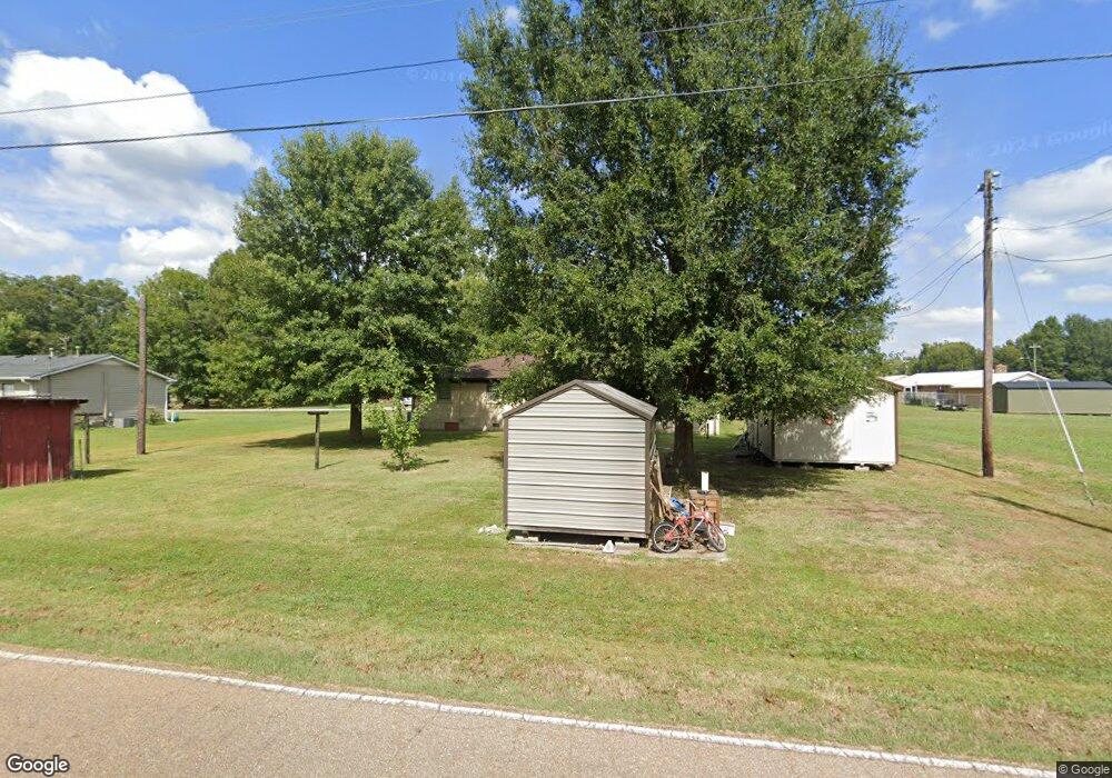
159 Hudson St Union City, TN 38261
Estimated Value: $124,000 - $195,000
2
Beds
2
Baths
1,707
Sq Ft
$93/Sq Ft
Est. Value
About This Home
This home is located at 159 Hudson St, Union City, TN 38261 and is currently estimated at $158,217, approximately $92 per square foot. 159 Hudson St is a home located in Obion County.
Ownership History
Date
Name
Owned For
Owner Type
Purchase Details
Closed on
Feb 15, 2019
Sold by
Chmielewski Richard H
Bought by
Mathis David L
Current Estimated Value
Home Financials for this Owner
Home Financials are based on the most recent Mortgage that was taken out on this home.
Original Mortgage
$54,985
Outstanding Balance
$48,698
Interest Rate
4.87%
Mortgage Type
FHA
Estimated Equity
$109,520
Purchase Details
Closed on
Jan 16, 2001
Sold by
Jerry Buchanan
Bought by
Richard Chmielewski
Purchase Details
Closed on
Jan 1, 1985
Bought by
Buchanan Jerry G
Purchase Details
Closed on
Jan 1, 1968
Create a Home Valuation Report for This Property
The Home Valuation Report is an in-depth analysis detailing your home's value as well as a comparison with similar homes in the area
Home Values in the Area
Average Home Value in this Area
Purchase History
| Date | Buyer | Sale Price | Title Company |
|---|---|---|---|
| Mathis David L | $56,000 | -- | |
| Richard Chmielewski | $62,000 | -- | |
| Buchanan Jerry G | $25,000 | -- | |
| -- | -- | -- |
Source: Public Records
Mortgage History
| Date | Status | Borrower | Loan Amount |
|---|---|---|---|
| Open | Mathis David L | $54,985 |
Source: Public Records
Tax History Compared to Growth
Tax History
| Year | Tax Paid | Tax Assessment Tax Assessment Total Assessment is a certain percentage of the fair market value that is determined by local assessors to be the total taxable value of land and additions on the property. | Land | Improvement |
|---|---|---|---|---|
| 2025 | -- | $31,825 | $0 | $0 |
| 2024 | -- | $31,825 | $2,000 | $29,825 |
| 2023 | $624 | $31,825 | $2,000 | $29,825 |
| 2022 | $461 | $16,475 | $2,000 | $14,475 |
| 2021 | $437 | $16,475 | $2,000 | $14,475 |
| 2020 | $431 | $16,275 | $2,000 | $14,275 |
| 2019 | $410 | $16,275 | $2,000 | $14,275 |
| 2018 | $411 | $16,275 | $2,000 | $14,275 |
| 2017 | $457 | $17,200 | $2,000 | $15,200 |
| 2016 | $457 | $17,200 | $2,000 | $15,200 |
| 2015 | $457 | $17,200 | $2,000 | $15,200 |
| 2014 | $457 | $17,200 | $2,000 | $15,200 |
Source: Public Records
Map
Nearby Homes
- 370 S Thompson St
- 1535 Lattus Ln
- 874 Gum St
- 915 Gum St
- 560 Todd Thomas Rd
- 3611 W Main St
- 0 Burrus Rd
- 3412 Lakeview Dr
- 3305 Cottonwood Dr
- 5680 Floyd Shuck Rd
- 3694 Pete Gray Rd
- 4478 Crystal Rd
- Tract 1 Walter Whipple Rd
- 604 Denver Dr
- 2703 Salem Dr
- 210 Graham St
- 72 W Highway 22
- 2235 Bel Air Cir
- 317 W Highway 22
- 1433 E County Home Rd
- 185 Hudson St
- 158 Hudson St
- 186 Hudson St
- 259 S Thompson St
- 276 S Thompson St
- 290 W Jones St
- 260 W Jones St
- 237 S Thompson St
- 236 W Jones St
- 325 S Thompson St
- 291 W Jones St
- 223 S Thompson St
- 269 W Jones St
- 212 W Jones St
- 243 W Jones St
- 161 Prather Ln
- 335 S Thompson St
- 343 S Thompson St
- 235 S Thompson St
- 306 W Jones St
