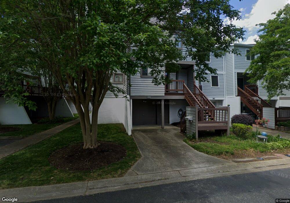
159 Mill Point Dr Hampton, VA 23669
Downtown Hampton NeighborhoodEstimated Value: $296,562 - $323,000
3
Beds
3
Baths
1,556
Sq Ft
$198/Sq Ft
Est. Value
About This Home
This home is located at 159 Mill Point Dr, Hampton, VA 23669 and is currently estimated at $308,641, approximately $198 per square foot. 159 Mill Point Dr is a home located in Hampton City with nearby schools including Capt. John Smith Elementary School, C. Alton Lindsay Middle School, and Phoebus High School.
Ownership History
Date
Name
Owned For
Owner Type
Purchase Details
Closed on
May 22, 2025
Sold by
Viney Kelly Harvey and Harvey Kelly R
Bought by
Kelly Harvey Viney Revocable Trust and Viney
Current Estimated Value
Purchase Details
Closed on
Nov 29, 1999
Sold by
Bottom Raymond D
Bought by
Harvey Kelly R
Home Financials for this Owner
Home Financials are based on the most recent Mortgage that was taken out on this home.
Original Mortgage
$59,000
Interest Rate
7.77%
Create a Home Valuation Report for This Property
The Home Valuation Report is an in-depth analysis detailing your home's value as well as a comparison with similar homes in the area
Home Values in the Area
Average Home Value in this Area
Purchase History
| Date | Buyer | Sale Price | Title Company |
|---|---|---|---|
| Kelly Harvey Viney Revocable Trust | -- | None Listed On Document | |
| Harvey Kelly R | $107,000 | -- |
Source: Public Records
Mortgage History
| Date | Status | Borrower | Loan Amount |
|---|---|---|---|
| Previous Owner | Harvey Kelly R | $59,000 |
Source: Public Records
Tax History
| Year | Tax Paid | Tax Assessment Tax Assessment Total Assessment is a certain percentage of the fair market value that is determined by local assessors to be the total taxable value of land and additions on the property. | Land | Improvement |
|---|---|---|---|---|
| 2025 | $3,195 | $277,900 | $68,300 | $209,600 |
| 2024 | $2,927 | $254,500 | $57,800 | $196,700 |
| 2023 | $2,825 | $243,500 | $57,800 | $185,700 |
| 2022 | $2,513 | $213,000 | $57,800 | $155,200 |
| 2021 | $2,545 | $194,800 | $57,800 | $137,000 |
| 2020 | $2,304 | $185,800 | $57,800 | $128,000 |
| 2019 | $2,278 | $183,700 | $57,800 | $125,900 |
| 2018 | $2,381 | $184,400 | $57,800 | $126,600 |
| 2017 | $2,381 | $0 | $0 | $0 |
| 2016 | $2,381 | $184,400 | $0 | $0 |
| 2015 | $2,381 | $0 | $0 | $0 |
| 2014 | $2,370 | $184,400 | $57,800 | $126,600 |
Source: Public Records
Map
Nearby Homes
- 233 Mill Point Dr
- 301 Washington St
- 115 E Pembroke Ave
- 329 Elm Ave
- 418 Wine St
- 603 Washington St
- 606 Washington St
- 542 River St
- 314 Cooper St
- 720 River St
- 311 Cooper St
- 433 Cooper St
- 439 Cooper St
- 116 Linden Ave
- 144 Meredith St
- 16 S Cypress St
- 27 Bacon St
- 4 Cedar Point Dr
- 221 Island Cove Ct Unit C
- 1002 E Pembroke Ave
- 161 Mill Point Dr
- 163 Mill Point Dr
- 135 Mill Point Dr
- 137 Mill Point Dr
- 133 Mill Point Dr
- 165 Mill Point Dr
- 131 Mill Point Dr
- 129 Mill Point Dr
- 158 Mill Point Dr
- 160 Mill Point Dr
- 156 Mill Point Dr Unit Dr
- 162 Mill Point Dr
- 164 Mill Point Dr
- 154 Mill Point Dr
- 201 Mill Point Dr
- 105 Mill Point Dr
- 103 Mill Point Dr
- 152 Mill Point Dr
- 101 Mill Point Dr
- 107 Mill Point Dr
Your Personal Tour Guide
Ask me questions while you tour the home.