159 Parker Rd West Barnstable, MA 02668
West Barnstable NeighborhoodEstimated Value: $764,000 - $1,039,000
4
Beds
3
Baths
2,201
Sq Ft
$412/Sq Ft
Est. Value
About This Home
This home is located at 159 Parker Rd, West Barnstable, MA 02668 and is currently estimated at $907,346, approximately $412 per square foot. 159 Parker Rd is a home located in Barnstable County with nearby schools including West Barnstable Elementary School, Barnstable United Elementary School, and Barnstable Intermediate School.
Ownership History
Date
Name
Owned For
Owner Type
Purchase Details
Closed on
Jan 22, 2009
Sold by
Est Kent Denny and Negorn Sacha
Bought by
Negron Michael James and Negron Sacha
Current Estimated Value
Purchase Details
Closed on
Sep 10, 2002
Sold by
Kent Denny and Bearse Denise K
Bought by
Kent Denny and Faunce Brian C
Purchase Details
Closed on
Jan 19, 2001
Sold by
Oneil Michael J and Oneil Elizabeth A
Bought by
Krug Jeffrey W
Purchase Details
Closed on
Sep 1, 1998
Sold by
Rice Robert L and Rice Jo Ellen H
Bought by
Oneil Michael J and Oneil Elizabeth A
Create a Home Valuation Report for This Property
The Home Valuation Report is an in-depth analysis detailing your home's value as well as a comparison with similar homes in the area
Home Values in the Area
Average Home Value in this Area
Purchase History
| Date | Buyer | Sale Price | Title Company |
|---|---|---|---|
| Negron Michael James | -- | -- | |
| Kent Denny | $100,000 | -- | |
| Krug Jeffrey W | $350,000 | -- | |
| Oneil Michael J | $275,000 | -- |
Source: Public Records
Mortgage History
| Date | Status | Borrower | Loan Amount |
|---|---|---|---|
| Open | Oneil Michael J | $100,000 | |
| Open | Oneil Michael J | $299,000 |
Source: Public Records
Tax History
| Year | Tax Paid | Tax Assessment Tax Assessment Total Assessment is a certain percentage of the fair market value that is determined by local assessors to be the total taxable value of land and additions on the property. | Land | Improvement |
|---|---|---|---|---|
| 2025 | $7,885 | $844,200 | $318,000 | $526,200 |
| 2024 | $6,986 | $814,200 | $318,000 | $496,200 |
| 2023 | $6,740 | $739,800 | $316,400 | $423,400 |
| 2022 | $6,148 | $553,400 | $207,200 | $346,200 |
| 2021 | $6,302 | $537,700 | $220,100 | $317,600 |
| 2020 | $6,093 | $502,700 | $240,800 | $261,900 |
| 2019 | $6,341 | $516,400 | $253,900 | $262,500 |
| 2018 | $5,206 | $481,600 | $253,400 | $228,200 |
| 2017 | $5,905 | $482,400 | $260,400 | $222,000 |
| 2016 | $5,776 | $481,700 | $259,700 | $222,000 |
| 2015 | $5,709 | $477,300 | $249,300 | $228,000 |
Source: Public Records
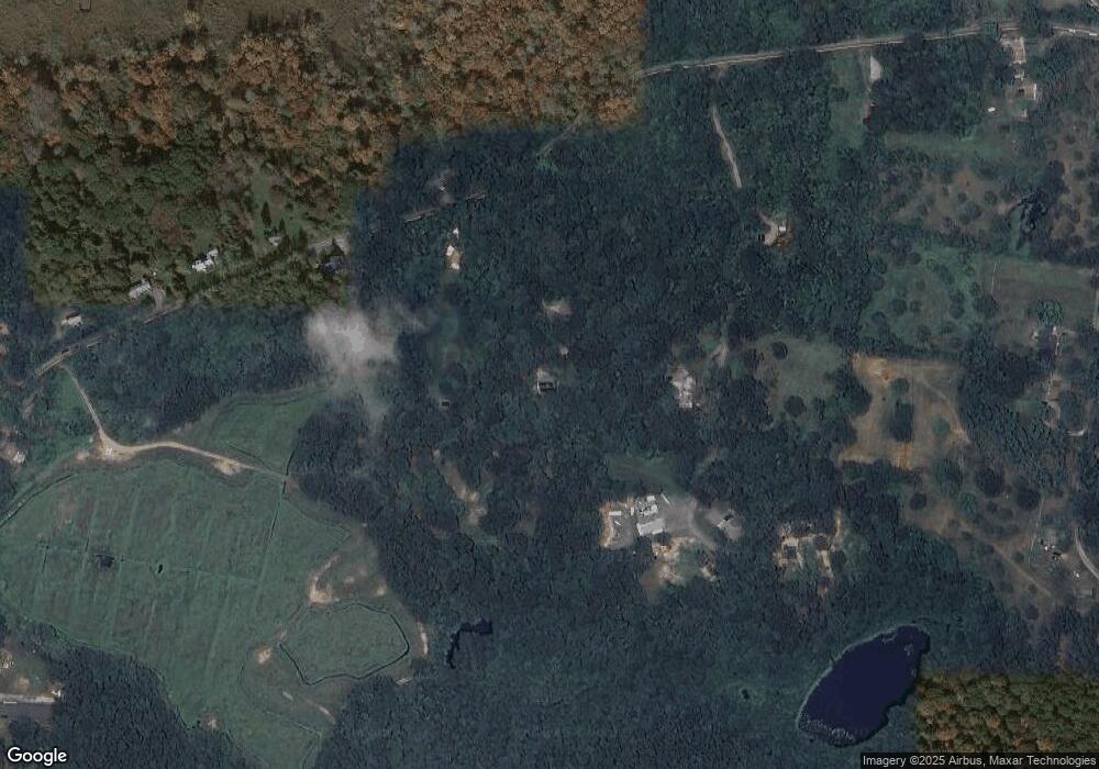
Map
Nearby Homes
- 282 Parker Rd
- 50 Currycomb Cir
- 120 Great Hill Dr
- 74 Saddler Ln
- 324 Patriot Way
- 62 Three Ponds Dr
- 34 Black Duck Ln
- 84 White Birch Way
- 900 Old Stage Rd
- 1044 Old Falmouth Rd
- 66 Tern Ln
- 1028 Old Falmouth Rd
- 80 Branch Terrace
- 87 Foxglove Rd
- 90 Guildford Rd
- 5 Chickadee Ln
- 169 Cedric Rd
- 296 Buckskin Path
- 11 Shepherds Way
- 315 Prince Hinckley Rd
Your Personal Tour Guide
Ask me questions while you tour the home.