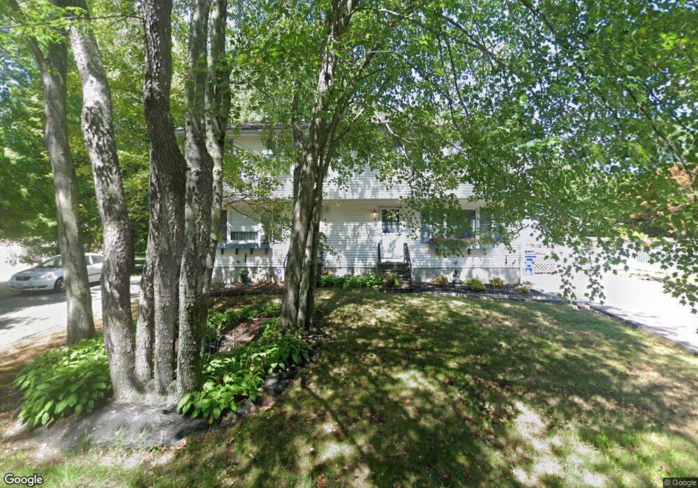
159 Shores St Unit 1A Taunton, MA 02780
Whittenton Junction NeighborhoodEstimated Value: $400,114 - $444,000
3
Beds
2
Baths
1,350
Sq Ft
$316/Sq Ft
Est. Value
About This Home
This home is located at 159 Shores St Unit 1A, Taunton, MA 02780 and is currently estimated at $426,779, approximately $316 per square foot. 159 Shores St Unit 1A is a home located in Bristol County with nearby schools including Mulcahey Elementary School, Benjamin Friedman Middle School, and Taunton High School.
Ownership History
Date
Name
Owned For
Owner Type
Purchase Details
Closed on
May 26, 2006
Sold by
Pierce Michael J
Bought by
Shaw Richard R and Shaw Diane R
Current Estimated Value
Home Financials for this Owner
Home Financials are based on the most recent Mortgage that was taken out on this home.
Original Mortgage
$201,600
Outstanding Balance
$118,259
Interest Rate
6.53%
Mortgage Type
Purchase Money Mortgage
Estimated Equity
$308,520
Purchase Details
Closed on
Feb 28, 2001
Sold by
Dejesus Manuel and Dejesus Lidia
Bought by
Pierce Michael J
Home Financials for this Owner
Home Financials are based on the most recent Mortgage that was taken out on this home.
Original Mortgage
$129,750
Interest Rate
7%
Mortgage Type
Purchase Money Mortgage
Create a Home Valuation Report for This Property
The Home Valuation Report is an in-depth analysis detailing your home's value as well as a comparison with similar homes in the area
Home Values in the Area
Average Home Value in this Area
Purchase History
| Date | Buyer | Sale Price | Title Company |
|---|---|---|---|
| Shaw Richard R | $201,600 | -- | |
| Pierce Michael J | $129,750 | -- |
Source: Public Records
Mortgage History
| Date | Status | Borrower | Loan Amount |
|---|---|---|---|
| Open | Pierce Michael J | $70,000 | |
| Open | Shaw Richard R | $201,600 | |
| Previous Owner | Pierce Michael J | $129,750 |
Source: Public Records
Tax History Compared to Growth
Tax History
| Year | Tax Paid | Tax Assessment Tax Assessment Total Assessment is a certain percentage of the fair market value that is determined by local assessors to be the total taxable value of land and additions on the property. | Land | Improvement |
|---|---|---|---|---|
| 2025 | $3,631 | $331,900 | $0 | $331,900 |
| 2024 | $3,463 | $309,500 | $0 | $309,500 |
| 2023 | $3,346 | $277,700 | $0 | $277,700 |
| 2022 | $3,195 | $242,400 | $0 | $242,400 |
| 2021 | $2,904 | $204,500 | $0 | $204,500 |
| 2020 | $2,819 | $189,700 | $0 | $189,700 |
| 2019 | $3,213 | $203,900 | $0 | $203,900 |
| 2018 | $3,149 | $200,300 | $0 | $200,300 |
| 2017 | $2,878 | $183,200 | $0 | $183,200 |
| 2016 | $2,780 | $177,300 | $0 | $177,300 |
| 2015 | $2,564 | $170,800 | $0 | $170,800 |
| 2014 | $2,495 | $170,800 | $0 | $170,800 |
Source: Public Records
Map
Nearby Homes
- 6 Grove Ave
- 92 Highland Ave
- 15 Chase St
- 64 Kalman Place
- 137 Tremont St
- 45 Fisher St
- 17 Davis St
- 108 Tremont St
- 0 Norton Ave Unit 73445127
- 26 Kilmer Ave
- 193 Tremont St Unit 124
- 193 Tremont St Unit 95
- 43 Pine St
- 43 Pine St Unit B
- 170 Highland St Unit 320
- 170 Highland St Unit 119
- 75 Wales St
- 321 Winthrop St Unit 109
- 13 Stanley Ave
- 193 Winthrop St