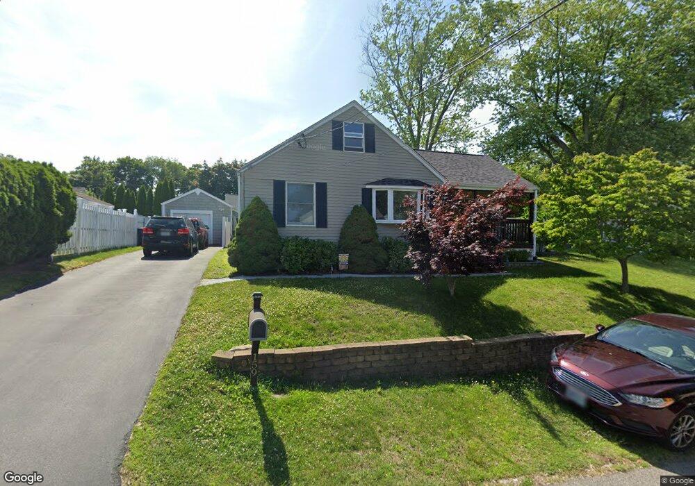
159 Tennyson Rd Warwick, RI 02888
Lakewood NeighborhoodEstimated Value: $364,000 - $385,091
2
Beds
1
Bath
960
Sq Ft
$391/Sq Ft
Est. Value
About This Home
This home is located at 159 Tennyson Rd, Warwick, RI 02888 and is currently estimated at $375,773, approximately $391 per square foot. 159 Tennyson Rd is a home located in Kent County with nearby schools including St. Peter School and Saint Paul School.
Ownership History
Date
Name
Owned For
Owner Type
Purchase Details
Closed on
Apr 4, 1994
Sold by
Salisbury Lester L
Bought by
Henderson Michael S
Current Estimated Value
Home Financials for this Owner
Home Financials are based on the most recent Mortgage that was taken out on this home.
Original Mortgage
$71,750
Interest Rate
7.07%
Mortgage Type
Purchase Money Mortgage
Create a Home Valuation Report for This Property
The Home Valuation Report is an in-depth analysis detailing your home's value as well as a comparison with similar homes in the area
Home Values in the Area
Average Home Value in this Area
Purchase History
| Date | Buyer | Sale Price | Title Company |
|---|---|---|---|
| Henderson Michael S | $82,000 | -- |
Source: Public Records
Mortgage History
| Date | Status | Borrower | Loan Amount |
|---|---|---|---|
| Open | Henderson Michael S | $138,380 | |
| Closed | Henderson Michael S | $144,000 | |
| Closed | Henderson Michael S | $58,200 | |
| Closed | Henderson Michael S | $71,750 |
Source: Public Records
Tax History
| Year | Tax Paid | Tax Assessment Tax Assessment Total Assessment is a certain percentage of the fair market value that is determined by local assessors to be the total taxable value of land and additions on the property. | Land | Improvement |
|---|---|---|---|---|
| 2025 | $4,460 | $351,200 | $100,700 | $250,500 |
| 2024 | $4,104 | $283,600 | $83,200 | $200,400 |
| 2023 | $4,024 | $283,600 | $83,200 | $200,400 |
| 2022 | $3,823 | $204,100 | $50,800 | $153,300 |
| 2021 | $3,823 | $204,100 | $50,800 | $153,300 |
| 2020 | $3,823 | $204,100 | $50,800 | $153,300 |
| 2019 | $3,823 | $204,100 | $50,800 | $153,300 |
| 2018 | $3,411 | $164,000 | $50,800 | $113,200 |
| 2017 | $3,319 | $164,000 | $50,800 | $113,200 |
| 2016 | $3,319 | $164,000 | $50,800 | $113,200 |
| 2015 | $3,011 | $145,100 | $55,200 | $89,900 |
| 2014 | $2,911 | $145,100 | $55,200 | $89,900 |
| 2013 | $2,872 | $145,100 | $55,200 | $89,900 |
Source: Public Records
Map
Nearby Homes
- 165 Tennyson Rd
- 149 Tennyson Rd
- 158 Tennyson Rd
- 154 Tennyson Rd
- 164 Tennyson Rd
- 116 Wendell Rd
- 166 Tennyson Rd
- 175 Tennyson Rd
- 148 Tennyson Rd
- 122 Wendell Rd
- 139 Tennyson Rd
- 110 Wendell Rd
- 134 Wendell Rd
- 133 Tennyson Rd
- 102 Wendell Rd
- 172 Tennyson Rd
- 138 Wendell Rd
- 117 Wendell Rd
- 144 Tennyson Rd
- 144 Wendell Rd
Your Personal Tour Guide
Ask me questions while you tour the home.