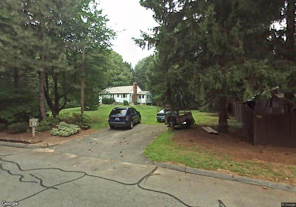
159 the Laurels Enfield, CT 06082
Estimated Value: $336,000 - $423,000
2
Beds
3
Baths
1,328
Sq Ft
$289/Sq Ft
Est. Value
About This Home
This home is located at 159 the Laurels, Enfield, CT 06082 and is currently estimated at $383,900, approximately $289 per square foot. 159 the Laurels is a home located in Hartford County with nearby schools including Prudence Crandall Elementary School, Nathan Hale Elementary School, and Enfield High School.
Ownership History
Date
Name
Owned For
Owner Type
Purchase Details
Closed on
Nov 5, 2015
Sold by
Wells Fargo Bank Na
Bought by
Sidman Susan H
Current Estimated Value
Home Financials for this Owner
Home Financials are based on the most recent Mortgage that was taken out on this home.
Original Mortgage
$66,000
Outstanding Balance
$52,070
Interest Rate
3.88%
Estimated Equity
$331,830
Purchase Details
Closed on
Mar 5, 2015
Sold by
Donnelly Heather R
Bought by
Wells Fargo Bank Na
Purchase Details
Closed on
Jan 31, 2003
Sold by
Lewis Gerald
Bought by
Johnson Diane
Home Financials for this Owner
Home Financials are based on the most recent Mortgage that was taken out on this home.
Original Mortgage
$150,000
Interest Rate
6.09%
Create a Home Valuation Report for This Property
The Home Valuation Report is an in-depth analysis detailing your home's value as well as a comparison with similar homes in the area
Home Values in the Area
Average Home Value in this Area
Purchase History
| Date | Buyer | Sale Price | Title Company |
|---|---|---|---|
| Sidman Susan H | $186,000 | -- | |
| Wells Fargo Bank Na | -- | -- | |
| Johnson Diane | $245,000 | -- |
Source: Public Records
Mortgage History
| Date | Status | Borrower | Loan Amount |
|---|---|---|---|
| Open | Johnson Diane | $66,000 | |
| Previous Owner | Johnson Diane | $290,000 | |
| Previous Owner | Johnson Diane | $150,000 |
Source: Public Records
Tax History
| Year | Tax Paid | Tax Assessment Tax Assessment Total Assessment is a certain percentage of the fair market value that is determined by local assessors to be the total taxable value of land and additions on the property. | Land | Improvement |
|---|---|---|---|---|
| 2025 | $6,773 | $190,800 | $0 | $190,800 |
| 2024 | $6,594 | $190,800 | $0 | $190,800 |
| 2023 | $6,556 | $190,800 | $0 | $190,800 |
| 2022 | $6,037 | $190,800 | $0 | $190,800 |
| 2021 | $6,416 | $166,080 | $0 | $166,080 |
| 2020 | $6,349 | $166,080 | $0 | $166,080 |
| 2019 | $6,183 | $166,080 | $0 | $166,080 |
| 2018 | $6,045 | $166,080 | $0 | $166,080 |
| 2017 | $5,718 | $166,080 | $0 | $166,080 |
| 2016 | $5,301 | $159,870 | $0 | $159,870 |
| 2015 | $5,146 | $159,870 | $0 | $159,870 |
| 2014 | $5,025 | $159,870 | $0 | $159,870 |
Source: Public Records
Map
Nearby Homes
- 137 the Laurels Unit 137
- 60 Liberty Ln
- 42 Liberty Ln
- 50 Liberty Ln
- 39 Liberty Ln
- 54 Liberty Ln
- 59 Liberty Ln
- 44 Liberty Ln
- 56 Liberty Ln
- 46 Liberty Ln
- 43 Liberty Ln
- 41 Liberty Ln
- 14 W Forrest Dr
- 176 Cottage Rd
- 31 Sharren Ln
- 17 Douglas Dr
- 449 The Meadows
- 11 Partridge Run
- 2 Sharren Ln
- 4 Georgetown Unit F
- 175 the Laurels
- 173 the Laurels
- 171 the Laurels
- 169 the Laurels
- 167 the Laurels
- 165 the Laurels
- 163 the Laurels
- 161 the Laurels
- 157 the Laurels
- 155 the Laurels
- 153 the Laurels
- 165 the Laurels Unit 165
- 153 the Laurels Unit 153
- 161 the Laurels Unit 161
- 159 the Laurels Unit 159
- 173 the Laurels Unit 173
- 34 Brook Rd
- 37 Brook Rd
- 35 Brook Rd
- 36 Brook Rd
Your Personal Tour Guide
Ask me questions while you tour the home.