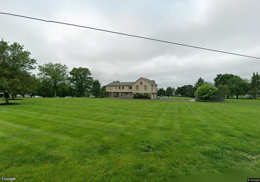
1594 Stuckert Rd Warrington, PA 18976
Estimated Value: $780,000 - $915,566
4
Beds
4
Baths
4,619
Sq Ft
$182/Sq Ft
Est. Value
About This Home
This home is located at 1594 Stuckert Rd, Warrington, PA 18976 and is currently estimated at $840,642, approximately $181 per square foot. 1594 Stuckert Rd is a home located in Bucks County with nearby schools including Jamison Elementary School, Tamanend Middle School, and Central Bucks High School - South.
Ownership History
Date
Name
Owned For
Owner Type
Purchase Details
Closed on
Mar 7, 2008
Sold by
Holbert Laurence M
Bought by
Holbert Jean D
Current Estimated Value
Purchase Details
Closed on
Dec 20, 2007
Sold by
Holbert Laurence M
Bought by
Holbert Laurence M
Purchase Details
Closed on
Dec 7, 2006
Sold by
Holbert Robert
Bought by
Holbert Robert
Create a Home Valuation Report for This Property
The Home Valuation Report is an in-depth analysis detailing your home's value as well as a comparison with similar homes in the area
Home Values in the Area
Average Home Value in this Area
Purchase History
| Date | Buyer | Sale Price | Title Company |
|---|---|---|---|
| Holbert Jean D | -- | None Available | |
| Holbert Laurence M | -- | None Available | |
| Holbert Robert | -- | None Available |
Source: Public Records
Tax History Compared to Growth
Tax History
| Year | Tax Paid | Tax Assessment Tax Assessment Total Assessment is a certain percentage of the fair market value that is determined by local assessors to be the total taxable value of land and additions on the property. | Land | Improvement |
|---|---|---|---|---|
| 2025 | $13,906 | $75,330 | $10,640 | $64,690 |
| 2024 | $13,906 | $75,330 | $10,640 | $64,690 |
| 2023 | $12,875 | $75,330 | $10,640 | $64,690 |
| 2022 | $12,620 | $75,330 | $10,640 | $64,690 |
| 2021 | $12,480 | $75,330 | $10,640 | $64,690 |
| 2020 | $12,480 | $75,330 | $10,640 | $64,690 |
| 2019 | $12,405 | $75,330 | $10,640 | $64,690 |
| 2018 | $12,267 | $75,330 | $10,640 | $64,690 |
| 2017 | $12,101 | $75,330 | $10,640 | $64,690 |
| 2016 | $12,063 | $75,330 | $10,640 | $64,690 |
| 2015 | -- | $75,330 | $10,640 | $64,690 |
| 2014 | -- | $75,330 | $10,640 | $64,690 |
Source: Public Records
Map
Nearby Homes
- 2158 Green Ridge Dr
- 2226 Orchard Hill Cir
- 100 Ginko St Unit 303
- 100 Fiddleleaf Ln Unit 104
- 2018 Buckingham Dr
- 100 Claret Ct Unit 102
- 200 Beech Blvd Unit 301
- 110 Zircon Ct Unit 14
- 1877 Brook Ln
- 1917 Brook Ln
- 2234 Evin Dr
- 2302 MacIs Cir
- 1656 S Ash Cir
- 1105 Madison Cir
- 125 Edison Furlong Rd
- 612 Bethel Ln Unit THE ROOSEVELT PLAN
- 612 Bethel Ln Unit THE MONROE PLAN
- 1447 Bentley Dr
- 983 Wilson Ct
- 1 Squirrel Rd
- 2314 Birch Ct
- 2312 Birch Ct
- 2310 Birch Ct
- 2316 Forest Glen Dr
- 1597 Stuckert Rd
- 2295 Forest Glen Dr
- 2297 Forest Glen Dr
- 2308 Birch Ct
- 2291 Warwick Rd
- 2301 Forest Glen Dr
- 2309 Birch Ct
- 2313 Birch Ct
- 2284 Forest Glen Dr
- 2286 Forest Glen Dr
- 2288 Forest Glen Dr
- 1591 Stuckert Rd
- 2282 Forest Glen Dr
- 2290 Forest Glen Dr
- 2284 Warwick Rd
- 2306 Birch Ct