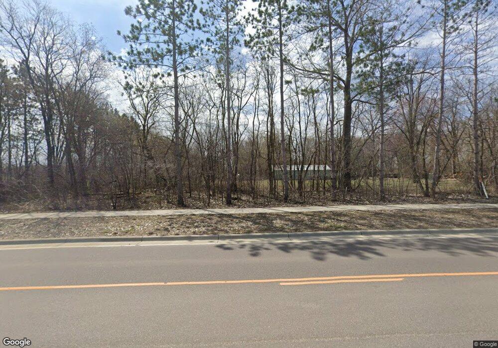
15967 Arbor Ridge Pkwy Maple Grove, MN 55369
Estimated Value: $940,000 - $2,023,509
5
Beds
5
Baths
1,568
Sq Ft
$796/Sq Ft
Est. Value
About This Home
This home is located at 15967 Arbor Ridge Pkwy, Maple Grove, MN 55369 and is currently estimated at $1,248,127, approximately $795 per square foot. 15967 Arbor Ridge Pkwy is a home located in Hennepin County with nearby schools including Fernbrook Elementary School, Osseo Middle School, and Maple Grove Senior High School.
Ownership History
Date
Name
Owned For
Owner Type
Purchase Details
Closed on
Nov 1, 2013
Sold by
Blanchard Brian G
Bought by
Peterson Donald and Peterson Leanne
Current Estimated Value
Home Financials for this Owner
Home Financials are based on the most recent Mortgage that was taken out on this home.
Original Mortgage
$400,000
Outstanding Balance
$299,479
Interest Rate
4.33%
Mortgage Type
New Conventional
Estimated Equity
$948,648
Create a Home Valuation Report for This Property
The Home Valuation Report is an in-depth analysis detailing your home's value as well as a comparison with similar homes in the area
Home Values in the Area
Average Home Value in this Area
Purchase History
| Date | Buyer | Sale Price | Title Company |
|---|---|---|---|
| Peterson Donald | $600,000 | Liberty Title Inc |
Source: Public Records
Mortgage History
| Date | Status | Borrower | Loan Amount |
|---|---|---|---|
| Open | Peterson Donald | $400,000 |
Source: Public Records
Tax History Compared to Growth
Tax History
| Year | Tax Paid | Tax Assessment Tax Assessment Total Assessment is a certain percentage of the fair market value that is determined by local assessors to be the total taxable value of land and additions on the property. | Land | Improvement |
|---|---|---|---|---|
| 2024 | $12,887 | $966,300 | $676,000 | $290,300 |
| 2023 | $11,434 | $897,000 | $600,900 | $296,100 |
| 2022 | $9,164 | $797,200 | $489,600 | $307,600 |
| 2021 | $9,254 | $711,500 | $449,300 | $262,200 |
| 2020 | $9,572 | $707,600 | $449,300 | $258,300 |
| 2019 | $8,552 | $696,900 | $450,300 | $246,600 |
| 2018 | $8,362 | $600,800 | $362,900 | $237,900 |
| 2017 | $8,389 | $560,500 | $362,900 | $197,600 |
| 2016 | $8,672 | $569,600 | $375,900 | $193,700 |
| 2015 | $8,773 | $561,900 | $375,900 | $186,000 |
| 2014 | -- | $549,700 | $375,900 | $173,800 |
Source: Public Records
Map
Nearby Homes
- 16755 106th Place N
- 16400 County Road 81
- 15981 Rush Creek Rd
- 10584 Minnesota Ln N
- 10813 Orchid Ln N
- 14897 106th Ave N
- Harlan Plan at Rush Hollow - The Villas
- Gates Plan at Rush Hollow - The Estates
- Bromley Plan at Rush Hollow - The Estates
- Leslie Plan at Rush Hollow - The Villas
- Berry Plan at Rush Hollow - The Villas
- Kane Plan at Rush Hollow - The Estates
- Lotus Plan at Rush Hollow - The Estates
- Akerly Plan at Rush Hollow - The Estates
- Putman Plan at Rush Hollow - The Estates
- Shamrock Plan at Rush Hollow - The Villas
- Carmine Plan at Rush Hollow - The Villas
- Degan Plan at Rush Hollow - The Estates
- Oriole Plan at Rush Hollow - The Villas
- 14775 105th Cir N
- 10510 Weston Way N
- 10506 Weston Way N
- 10506 Weston Way N
- 16100 105th Ave N
- 10512 Weston Way N
- 10503 Weston Way N
- 10507 Weston Way N
- 15800 Arbor Ridge Pkwy
- 10534 Weston Way N
- 10534 Weston Way N
- 10530 Weston Way N
- 10530 Weston Way N
- 10542 Weston Way N
- 15766 105th Ave N
- 10536 Weston Way N
- 10558 Weston Way N
- 10533 Weston Way N
- 10533 Weston Way N
- 10554 Weston Way N
- 10539 Weston Way N
