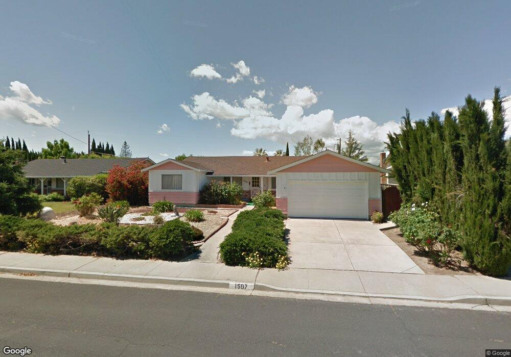
1597 Eve Dr Concord, CA 94521
Crestwood NeighborhoodEstimated Value: $785,245 - $928,000
4
Beds
2
Baths
1,817
Sq Ft
$463/Sq Ft
Est. Value
About This Home
This home is located at 1597 Eve Dr, Concord, CA 94521 and is currently estimated at $841,561, approximately $463 per square foot. 1597 Eve Dr is a home located in Contra Costa County with nearby schools including Mountain View Elementary School, El Dorado Middle School, and Concord High School.
Ownership History
Date
Name
Owned For
Owner Type
Purchase Details
Closed on
May 29, 2015
Sold by
Emery Russell P and Emery Cheryl A Carpenter
Bought by
The Emery Family Trust
Current Estimated Value
Purchase Details
Closed on
May 25, 2012
Sold by
Newport Murrieta Land Co
Bought by
Emery Russell P and Emery Cheryl A Carpenter
Home Financials for this Owner
Home Financials are based on the most recent Mortgage that was taken out on this home.
Original Mortgage
$320,000
Outstanding Balance
$220,355
Interest Rate
3.77%
Mortgage Type
New Conventional
Estimated Equity
$621,206
Purchase Details
Closed on
Apr 11, 2012
Sold by
Kolowski Paul E
Bought by
Newport Murrieta Land Company
Home Financials for this Owner
Home Financials are based on the most recent Mortgage that was taken out on this home.
Original Mortgage
$320,000
Outstanding Balance
$220,355
Interest Rate
3.77%
Mortgage Type
New Conventional
Estimated Equity
$621,206
Create a Home Valuation Report for This Property
The Home Valuation Report is an in-depth analysis detailing your home's value as well as a comparison with similar homes in the area
Home Values in the Area
Average Home Value in this Area
Purchase History
| Date | Buyer | Sale Price | Title Company |
|---|---|---|---|
| The Emery Family Trust | -- | None Available | |
| Emery Russell P | $400,000 | Orange Coast Title Company | |
| Newport Murrieta Land Company | $287,000 | Stewart Title |
Source: Public Records
Mortgage History
| Date | Status | Borrower | Loan Amount |
|---|---|---|---|
| Open | Emery Russell P | $320,000 |
Source: Public Records
Tax History
| Year | Tax Paid | Tax Assessment Tax Assessment Total Assessment is a certain percentage of the fair market value that is determined by local assessors to be the total taxable value of land and additions on the property. | Land | Improvement |
|---|---|---|---|---|
| 2025 | $6,412 | $502,412 | $251,206 | $251,206 |
| 2024 | $6,114 | $492,562 | $246,281 | $246,281 |
| 2023 | $6,114 | $482,904 | $241,452 | $241,452 |
| 2022 | $6,024 | $473,436 | $236,718 | $236,718 |
| 2021 | $5,869 | $464,154 | $232,077 | $232,077 |
| 2019 | $5,750 | $450,390 | $225,195 | $225,195 |
| 2018 | $5,525 | $441,560 | $220,780 | $220,780 |
| 2017 | $5,334 | $432,902 | $216,451 | $216,451 |
| 2016 | $5,246 | $424,414 | $212,207 | $212,207 |
| 2015 | $5,112 | $418,040 | $209,020 | $209,020 |
| 2014 | $5,016 | $409,852 | $204,926 | $204,926 |
Source: Public Records
Map
Nearby Homes
- 1548 Dianda Dr
- 1515 Thornwood Dr
- 1544 Bailey Rd Unit 39
- 1544 Bailey Rd Unit 3
- 4719 Springwood Way
- 1650 Matheson Rd
- 4360 Satinwood Dr
- 1723 Curletto Dr
- 1765 Glazier Dr
- 4203 Dubhe Ct
- 1535 Parkwood Place
- 1442 Indian Ln
- 4869 Wolf Way
- 1475 Bassett Dr
- 4888 Clayton Rd Unit 6
- 1543 Laverne Ct
- 4565 Wildcat Ln
- 1430 Bel Air Dr Unit 103
- 1590 Laverne Way
- 4185 Huckleberry Dr
Your Personal Tour Guide
Ask me questions while you tour the home.