15984 10th St Oelwein, IA 50662
Estimated Value: $500,000 - $512,159
3
Beds
3
Baths
1,758
Sq Ft
$287/Sq Ft
Est. Value
About This Home
This home is located at 15984 10th St, Oelwein, IA 50662 and is currently estimated at $505,386, approximately $287 per square foot. 15984 10th St is a home located in Fayette County with nearby schools including Little Husky Learning Center, Wings Park Elementary School, and Parkside Elementary School.
Ownership History
Date
Name
Owned For
Owner Type
Purchase Details
Closed on
Oct 28, 2013
Sold by
Stammeyer Paul C and Stammeyer Kimberly K
Bought by
Tapper Brent R and Tapper Elizabeth J
Current Estimated Value
Home Financials for this Owner
Home Financials are based on the most recent Mortgage that was taken out on this home.
Original Mortgage
$265,500
Interest Rate
4.24%
Mortgage Type
New Conventional
Create a Home Valuation Report for This Property
The Home Valuation Report is an in-depth analysis detailing your home's value as well as a comparison with similar homes in the area
Home Values in the Area
Average Home Value in this Area
Purchase History
| Date | Buyer | Sale Price | Title Company |
|---|---|---|---|
| Tapper Brent R | $295,000 | None Available |
Source: Public Records
Mortgage History
| Date | Status | Borrower | Loan Amount |
|---|---|---|---|
| Closed | Tapper Brent R | $265,500 |
Source: Public Records
Tax History Compared to Growth
Tax History
| Year | Tax Paid | Tax Assessment Tax Assessment Total Assessment is a certain percentage of the fair market value that is determined by local assessors to be the total taxable value of land and additions on the property. | Land | Improvement |
|---|---|---|---|---|
| 2025 | $4,542 | $441,460 | $23,660 | $417,800 |
| 2024 | $4,542 | $381,850 | $18,740 | $363,110 |
| 2023 | $5,262 | $381,850 | $18,740 | $363,110 |
| 2022 | $5,266 | $398,650 | $80,090 | $318,560 |
| 2021 | $5,266 | $398,650 | $80,090 | $318,560 |
| 2020 | $4,880 | $351,080 | $43,510 | $307,570 |
| 2019 | $4,406 | $321,040 | $0 | $0 |
| 2018 | $4,274 | $321,040 | $0 | $0 |
| 2017 | $3,768 | $266,560 | $0 | $0 |
| 2016 | $3,662 | $266,560 | $0 | $0 |
| 2015 | $3,662 | $0 | $0 | $0 |
| 2014 | $3,404 | $0 | $0 | $0 |
Source: Public Records
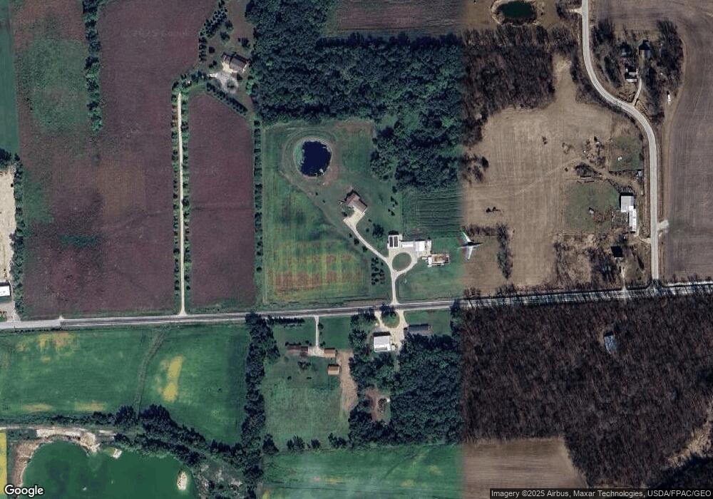
Map
Nearby Homes
- 1894 105th St
- 0 S Frederick & Wildwood Ln Unit NBR20254283
- 1836 105th St
- 00 Q Ave
- 0 Q Ave
- 1128 1st Ave SW
- 973 S Frederick Ave
- 919 1st Ave SE
- 207 1st St N
- 201 Westline Dr
- 825 1st Ave SW
- 719 S Frederick Ave
- 720 S Frederick Ave
- 817 7th St SE
- 104 Monroe St S
- 106 Madison St S
- 418 7th Ave SE
- 0 Parcel: 1822126038 Unit NBR20254735
- 0 Parcel: 1822126035 Unit NBR20254717
- 229 4th Ave SE
- 1908 100th St
- 1902 100th St
- 119 County Line Rd E
- 119 County Line Rd E
- 15718 10th St
- 111 County Line Rd E
- 1152 Outer Rd
- 1265 Outer Rd
- 1509 Outer Rd
- 1509 Outer Rd
- 1302 Outer Rd
- 1276 Outer Rd
- 1296 Outer Rd
- 1503 Outer Rd
- 2609 S Frederick Ave Unit 5
- 2609 S Frederick Ave
- 1304 Outer Rd
- 1013 Jackson Ave
- 1402 Outer Rd
- 1948 100th St