15997 SE Tong Rd Damascus, OR 97089
Estimated Value: $895,000 - $1,042,000
3
Beds
3
Baths
3,409
Sq Ft
$287/Sq Ft
Est. Value
About This Home
This home is located at 15997 SE Tong Rd, Damascus, OR 97089 and is currently estimated at $979,595, approximately $287 per square foot. 15997 SE Tong Rd is a home located in Clackamas County with nearby schools including Verne A Duncan Elementary School, Happy Valley Middle School, and Damascus Christian School.
Ownership History
Date
Name
Owned For
Owner Type
Purchase Details
Closed on
Dec 26, 2023
Sold by
Blake Phillip B and Blake Donna J
Bought by
Phillip B And Donna J Blake Joint Revocable L and Blake
Current Estimated Value
Purchase Details
Closed on
Mar 17, 2005
Sold by
Blake Enterprises Inc
Bought by
Blake Phillip B and Blake Donna J
Home Financials for this Owner
Home Financials are based on the most recent Mortgage that was taken out on this home.
Original Mortgage
$359,650
Interest Rate
5%
Mortgage Type
Purchase Money Mortgage
Create a Home Valuation Report for This Property
The Home Valuation Report is an in-depth analysis detailing your home's value as well as a comparison with similar homes in the area
Home Values in the Area
Average Home Value in this Area
Purchase History
| Date | Buyer | Sale Price | Title Company |
|---|---|---|---|
| Phillip B And Donna J Blake Joint Revocable L | -- | None Listed On Document | |
| Blake Phillip B | -- | -- |
Source: Public Records
Mortgage History
| Date | Status | Borrower | Loan Amount |
|---|---|---|---|
| Previous Owner | Blake Phillip B | $359,650 |
Source: Public Records
Tax History Compared to Growth
Tax History
| Year | Tax Paid | Tax Assessment Tax Assessment Total Assessment is a certain percentage of the fair market value that is determined by local assessors to be the total taxable value of land and additions on the property. | Land | Improvement |
|---|---|---|---|---|
| 2025 | $13,015 | $739,713 | -- | -- |
| 2024 | $12,545 | $718,168 | -- | -- |
| 2023 | $12,545 | $697,251 | $0 | $0 |
| 2022 | $11,507 | $676,943 | $0 | $0 |
| 2021 | $11,076 | $657,227 | $0 | $0 |
| 2020 | $10,717 | $638,085 | $0 | $0 |
| 2019 | $10,574 | $619,500 | $0 | $0 |
| 2018 | $9,165 | $601,456 | $0 | $0 |
| 2017 | $8,863 | $583,938 | $0 | $0 |
| 2016 | $8,537 | $566,930 | $0 | $0 |
| 2015 | $9,517 | $550,417 | $0 | $0 |
| 2014 | $9,009 | $534,385 | $0 | $0 |
Source: Public Records
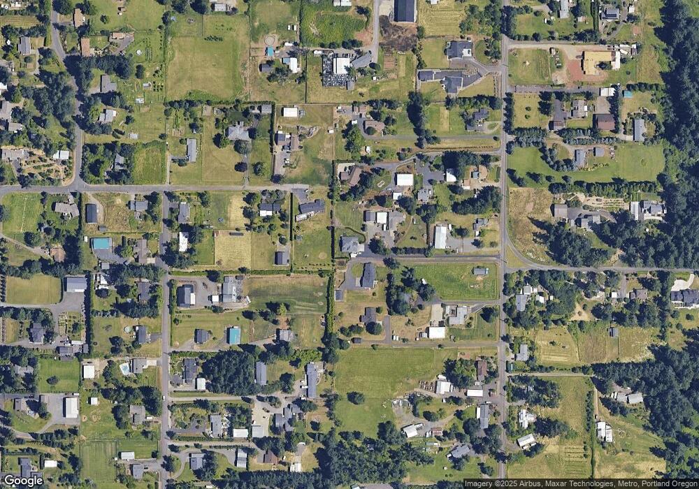
Map
Nearby Homes
- 0 SE Armstrong Cir
- 17156 SE Macanudo St
- 17063 SE Macanudo St
- 18680 SE Highway 212
- 18027 SE Emi St
- 14790 SE 172nd Ave
- 14548 SE 172nd Ave
- 15566 SE Melinda Ct
- 16911 SE Siri Ct
- 14543 SE West Park Ct
- 15556 SE Gladys Rose Way
- 16381 SE Deer Meadow Loop
- 16566 SE Deer Meadow Loop
- 14120 SE Brent Ave
- 13633 SE 178th Ave
- 15786 SE Jansik Ct
- 16400 SE Highway 224
- 16300 SE Highway 224 Unit 8
- 20320 SE Walgren Rd
- 16265 SE Highway 224
- 15985 SE Tong Rd
- 15920 SE Bel Air Dr
- 15841 SE Tong Rd
- 16045 SE Tong Rd
- 15900 SE Bel Air Dr
- 16101 SE Tong Rd
- 15919 SE Tong Rd
- 16090 SE Bel Air Dr
- 15880 SE Bel Air Dr
- 15805 SE Tong Rd
- 15851 SE Tong Rd
- 16030 SE Bel Air Dr
- 16085 SE Tong Rd
- 16136 SE Bel Air Dr
- 16070 SE Bel Air Dr
- 15830 SE Bel Air Dr
- 15861 SE Tong Rd
- 15960 SE Bel Air Dr
- 15860 SE Bel Air Dr
- 16151 SE Tong Rd