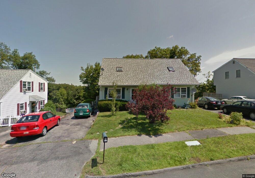
15B Timrod Dr Worcester, MA 01603
Webster Square NeighborhoodEstimated Value: $302,000 - $342,000
2
Beds
2
Baths
940
Sq Ft
$351/Sq Ft
Est. Value
About This Home
This home is located at 15B Timrod Dr, Worcester, MA 01603 and is currently estimated at $329,761, approximately $350 per square foot. 15B Timrod Dr is a home located in Worcester County with nearby schools including Chandler Magnet, Jacob Hiatt Magnet School, and Heard Street Discovery Academy.
Create a Home Valuation Report for This Property
The Home Valuation Report is an in-depth analysis detailing your home's value as well as a comparison with similar homes in the area
Home Values in the Area
Average Home Value in this Area
Tax History Compared to Growth
Tax History
| Year | Tax Paid | Tax Assessment Tax Assessment Total Assessment is a certain percentage of the fair market value that is determined by local assessors to be the total taxable value of land and additions on the property. | Land | Improvement |
|---|---|---|---|---|
| 2025 | $3,605 | $273,300 | $78,200 | $195,100 |
| 2024 | $3,436 | $249,900 | $78,200 | $171,700 |
| 2023 | $3,255 | $227,000 | $68,000 | $159,000 |
| 2022 | $2,923 | $192,200 | $54,500 | $137,700 |
| 2021 | $2,716 | $166,800 | $43,600 | $123,200 |
| 2020 | $2,705 | $159,100 | $43,300 | $115,800 |
| 2019 | $2,579 | $143,300 | $37,800 | $105,500 |
| 2018 | $2,583 | $136,600 | $37,800 | $98,800 |
| 2017 | $2,408 | $125,300 | $37,800 | $87,500 |
| 2016 | $2,329 | $113,000 | $27,400 | $85,600 |
| 2015 | $2,268 | $113,000 | $27,400 | $85,600 |
| 2014 | $2,208 | $113,000 | $27,400 | $85,600 |
Source: Public Records
Map
Nearby Homes
- 41 Ledgecrest Dr
- 45 Ledgecrest Dr
- 76 Parsons Hill Dr Unit A
- 45 Wildwood Ave
- 19 Monticello Dr
- 28 Alsada Dr
- 68 Crest Cir
- 57 1st St
- 336 Wildwood Ave
- 46 Locust St
- 1 Ludlow St
- 1511 Main St Unit C405
- 1511 Main St Unit C306
- 47 4th St
- 45 Fourth St
- 45 Fourth St Unit Right
- 24 Ludlow St
- 114 Henshaw St
- 26 Mildred Ave
- 118 Mccarthy Ave