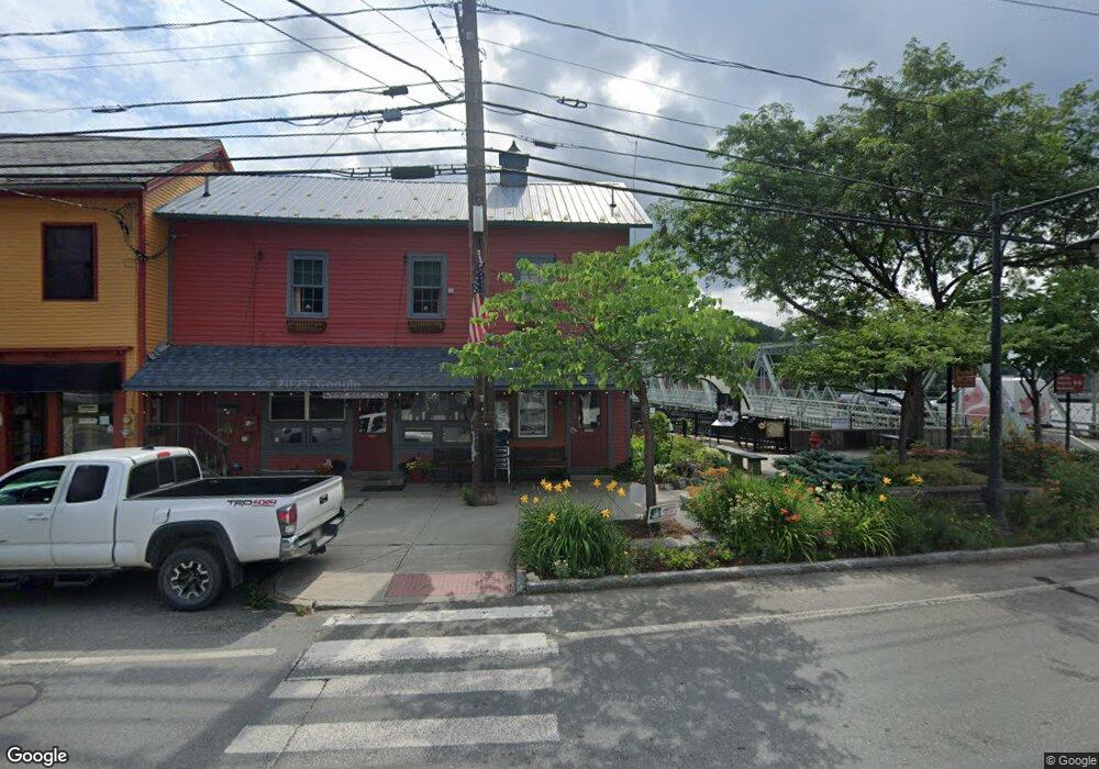
16-18 & 20 State St Buckland, MA 01370
Buckland NeighborhoodEstimated Value: $300,787
1
Bed
4
Baths
3,252
Sq Ft
$92/Sq Ft
Est. Value
About This Home
This home is located at 16-18 & 20 State St, Buckland, MA 01370 and is currently estimated at $300,787, approximately $92 per square foot. 16-18 & 20 State St is a home located in Franklin County with nearby schools including Mohawk Trail Regional High School.
Ownership History
Date
Name
Owned For
Owner Type
Purchase Details
Closed on
Jan 27, 2012
Sold by
Lyons Wilma C
Bought by
16 State Street Llc
Current Estimated Value
Purchase Details
Closed on
Apr 28, 2011
Sold by
Lyons Wilma C
Bought by
Buckland Town Of
Purchase Details
Closed on
Jan 30, 2007
Sold by
Doherty John C and Doherty Judith B
Bought by
Lyons Wilma C
Purchase Details
Closed on
Feb 2, 2001
Sold by
Weisblat Janice H and Weisblat David Bruce
Bought by
Doherty John C and Doherty Judith B
Create a Home Valuation Report for This Property
The Home Valuation Report is an in-depth analysis detailing your home's value as well as a comparison with similar homes in the area
Home Values in the Area
Average Home Value in this Area
Purchase History
| Date | Buyer | Sale Price | Title Company |
|---|---|---|---|
| 16 State Street Llc | $125,000 | -- | |
| Buckland Town Of | $2,468 | -- | |
| Buckland Town Of | $2,468 | -- | |
| Lyons Wilma C | $175,000 | -- | |
| Lyons Wilma C | $175,000 | -- | |
| Doherty John C | $100,000 | -- | |
| Doherty John C | $100,000 | -- |
Source: Public Records
Tax History Compared to Growth
Tax History
| Year | Tax Paid | Tax Assessment Tax Assessment Total Assessment is a certain percentage of the fair market value that is determined by local assessors to be the total taxable value of land and additions on the property. | Land | Improvement |
|---|---|---|---|---|
| 2025 | $3,175 | $187,400 | $28,400 | $159,000 |
| 2024 | $3,159 | $179,900 | $28,400 | $151,500 |
| 2023 | $3,051 | $180,100 | $28,400 | $151,700 |
| 2022 | $3,022 | $180,100 | $28,400 | $151,700 |
| 2021 | $2,883 | $161,600 | $23,900 | $137,700 |
| 2020 | $2,887 | $155,900 | $23,900 | $132,000 |
| 2019 | $2,690 | $144,400 | $23,900 | $120,500 |
| 2018 | $2,614 | $138,700 | $23,900 | $114,800 |
| 2017 | $2,504 | $138,700 | $23,900 | $114,800 |
| 2016 | $2,276 | $134,700 | $23,900 | $110,800 |
| 2015 | $2,263 | $134,700 | $23,900 | $110,800 |
Source: Public Records
Map
Nearby Homes
- 33 Williams St
- 10 Deerfield Ave Unit 5
- 10 Deerfield Ave Unit 2
- 105 - 107 Bridge St
- 102 Elm St
- 2151 Route 2
- 2155 Massachusetts 2
- 7 Hog Hollow Rd
- 156 Ashfield Rd
- 31 W Oxbow Rd
- 24 W Oxbow Rd
- 0 Upper St
- 0 W Oxbow Rd Unit 73453651
- 0 Ashfield Rd
- 3+5 Church St
- 143 Charlemont Rd
- 0 Fiske Mill Rd
- 85 Dacey Rd
- lot 1 Shelburne Falls Rd
- 240 Beldingville Rd