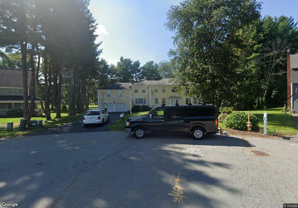
16 Apache Ave Andover, MA 01810
West Andover NeighborhoodEstimated Value: $1,394,341 - $1,653,000
4
Beds
3
Baths
3,442
Sq Ft
$442/Sq Ft
Est. Value
About This Home
This home is located at 16 Apache Ave, Andover, MA 01810 and is currently estimated at $1,519,835, approximately $441 per square foot. 16 Apache Ave is a home located in Essex County with nearby schools including West Elementary School, Andover West Middle School, and Andover High School.
Create a Home Valuation Report for This Property
The Home Valuation Report is an in-depth analysis detailing your home's value as well as a comparison with similar homes in the area
Home Values in the Area
Average Home Value in this Area
Tax History
| Year | Tax Paid | Tax Assessment Tax Assessment Total Assessment is a certain percentage of the fair market value that is determined by local assessors to be the total taxable value of land and additions on the property. | Land | Improvement |
|---|---|---|---|---|
| 2024 | $15,489 | $1,202,600 | $573,200 | $629,400 |
| 2023 | $14,857 | $1,087,600 | $516,300 | $571,300 |
| 2022 | $14,034 | $961,200 | $449,000 | $512,200 |
| 2021 | $13,472 | $881,100 | $408,000 | $473,100 |
| 2020 | $12,973 | $864,300 | $398,000 | $466,300 |
| 2019 | $12,920 | $846,100 | $386,500 | $459,600 |
| 2018 | $12,459 | $796,600 | $371,600 | $425,000 |
| 2017 | $11,982 | $789,300 | $364,200 | $425,100 |
| 2016 | $11,746 | $792,600 | $364,200 | $428,400 |
| 2015 | $11,322 | $756,300 | $350,000 | $406,300 |
Source: Public Records
Map
Nearby Homes
- 1 Delisio Dr
- 11 Rennie Dr
- 105 Central St
- 18 Dale St Unit 9D
- 241 Lowell St Unit 3
- 3 Torr St
- 2 Garfield Ln W
- 6 Exeter Way
- 11 Cuba St
- 31 Porter Rd
- 72 Tewksbury St
- 6 Hearthstone Place
- 3 Caileigh Ct
- 3 West Hollow
- 4 Hammond Way
- 54 Birch Rd
- 37 Crenshaw Ln Unit 37
- 16 Porter Rd
- 31 Crenshaw Ln Unit 31
- 96 N Main St Unit 3
Your Personal Tour Guide
Ask me questions while you tour the home.