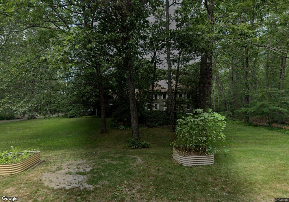
16 Arbor Ln Hollis, NH 03049
Hollis NeighborhoodEstimated Value: $933,000 - $1,208,000
4
Beds
4
Baths
4,104
Sq Ft
$269/Sq Ft
Est. Value
About This Home
This home is located at 16 Arbor Ln, Hollis, NH 03049 and is currently estimated at $1,104,520, approximately $269 per square foot. 16 Arbor Ln is a home with nearby schools including Hollis Primary School, Hollis Upper Elementary School, and Hollis-Brookline Middle School.
Ownership History
Date
Name
Owned For
Owner Type
Purchase Details
Closed on
Dec 1, 1997
Sold by
Teel Nancy J
Bought by
Hyde Judson G and Hyde Elaine J
Current Estimated Value
Home Financials for this Owner
Home Financials are based on the most recent Mortgage that was taken out on this home.
Original Mortgage
$214,600
Outstanding Balance
$36,402
Interest Rate
7.26%
Estimated Equity
$1,068,118
Create a Home Valuation Report for This Property
The Home Valuation Report is an in-depth analysis detailing your home's value as well as a comparison with similar homes in the area
Home Values in the Area
Average Home Value in this Area
Purchase History
| Date | Buyer | Sale Price | Title Company |
|---|---|---|---|
| Hyde Judson G | $432,500 | -- |
Source: Public Records
Mortgage History
| Date | Status | Borrower | Loan Amount |
|---|---|---|---|
| Open | Hyde Judson G | $214,600 |
Source: Public Records
Tax History Compared to Growth
Tax History
| Year | Tax Paid | Tax Assessment Tax Assessment Total Assessment is a certain percentage of the fair market value that is determined by local assessors to be the total taxable value of land and additions on the property. | Land | Improvement |
|---|---|---|---|---|
| 2024 | $17,095 | $964,200 | $304,300 | $659,900 |
| 2023 | $16,064 | $964,200 | $304,300 | $659,900 |
| 2022 | $21,762 | $964,200 | $304,300 | $659,900 |
| 2021 | $13,820 | $608,800 | $197,400 | $411,400 |
| 2020 | $14,112 | $608,800 | $197,400 | $411,400 |
| 2019 | $14,063 | $608,800 | $197,400 | $411,400 |
| 2018 | $12,574 | $608,800 | $197,400 | $411,400 |
| 2017 | $13,154 | $568,200 | $172,100 | $396,100 |
| 2016 | $13,313 | $568,200 | $172,100 | $396,100 |
| 2015 | $13,080 | $568,200 | $172,100 | $396,100 |
| 2014 | $13,142 | $568,200 | $172,100 | $396,100 |
| 2013 | $12,966 | $568,200 | $172,100 | $396,100 |
Source: Public Records
Map
Nearby Homes
- 4-13 Woodmont Dr
- 77 Mooar Hill Rd
- 172 Hayden Rd
- 102 Silver Lake Rd
- 3 Wood Ln
- 40-40A Pine Hill Rd
- 16 Captain Danforth Ln
- 25 Eastern Ave
- 6 Veterans Rd Unit 15
- 8 Carriage Ln
- 77 Broad St
- 118 Broad St
- 36 Berkeley Place
- 199 Pine Hill Rd
- 2 Ninth St
- 686 Route 13 S
- 303 Route 13
- 8 Colburn Rd
- 93 Old Milford Rd
- 00 Ruonala Rd