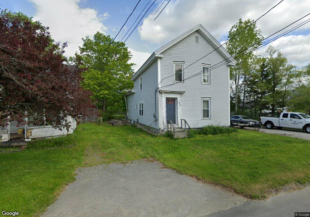
16 Blake Rd Orrington, ME 04474
Estimated Value: $240,092 - $380,000
4
Beds
2
Baths
1,600
Sq Ft
$188/Sq Ft
Est. Value
About This Home
This home is located at 16 Blake Rd, Orrington, ME 04474 and is currently estimated at $301,523, approximately $188 per square foot. 16 Blake Rd is a home located in Penobscot County with nearby schools including Center Drive School.
Ownership History
Date
Name
Owned For
Owner Type
Purchase Details
Closed on
Mar 24, 2011
Sold by
Abfc 2007 W M C 1 T and Us Bank Na
Bought by
Phillips Kenneth W
Current Estimated Value
Home Financials for this Owner
Home Financials are based on the most recent Mortgage that was taken out on this home.
Original Mortgage
$45,450
Outstanding Balance
$31,637
Interest Rate
5.07%
Mortgage Type
Commercial
Estimated Equity
$269,886
Purchase Details
Closed on
May 6, 2010
Sold by
Mixer Daniel
Bought by
Us Bank Na
Create a Home Valuation Report for This Property
The Home Valuation Report is an in-depth analysis detailing your home's value as well as a comparison with similar homes in the area
Home Values in the Area
Average Home Value in this Area
Purchase History
| Date | Buyer | Sale Price | Title Company |
|---|---|---|---|
| Phillips Kenneth W | -- | -- | |
| Phillips Kenneth W | -- | -- | |
| Us Bank Na | -- | -- | |
| Us Bank Na | -- | -- |
Source: Public Records
Mortgage History
| Date | Status | Borrower | Loan Amount |
|---|---|---|---|
| Open | Phillips Kenneth W | $45,450 | |
| Closed | Us Bank Na | $45,450 | |
| Previous Owner | Us Bank Na | $142,000 |
Source: Public Records
Tax History
| Year | Tax Paid | Tax Assessment Tax Assessment Total Assessment is a certain percentage of the fair market value that is determined by local assessors to be the total taxable value of land and additions on the property. | Land | Improvement |
|---|---|---|---|---|
| 2024 | $2,010 | $184,400 | $31,900 | $152,500 |
| 2023 | $1,915 | $174,100 | $29,700 | $144,400 |
| 2022 | $2,013 | $157,900 | $31,800 | $126,100 |
| 2021 | $2,175 | $145,000 | $31,800 | $113,200 |
| 2020 | $2,159 | $135,800 | $31,800 | $104,000 |
| 2019 | $2,145 | $134,900 | $31,800 | $103,100 |
| 2018 | $1,875 | $134,900 | $31,800 | $103,100 |
| 2017 | $1,875 | $134,900 | $31,800 | $103,100 |
| 2016 | $1,551 | $108,100 | $20,100 | $88,000 |
| 2015 | $1,551 | $108,100 | $20,100 | $88,000 |
| 2014 | $1,451 | $101,100 | $20,100 | $81,000 |
| 2013 | $1,360 | $101,100 | $20,100 | $81,000 |
Source: Public Records
Map
Nearby Homes
- 119 Mill Creek Rd
- 1739 River Rd
- 40 Bartlett Cove Dr
- 1002 River Rd
- 03 Foss Farm Rd
- 04 Foss Farm Rd
- 05 Foss Farm Rd
- 55 Lower Oak Point Rd
- 35 Hackett Rd
- Lot.19 Betts Rd
- 420 Main Rd S
- 160 Baker Rd
- 473 Center Dr
- 173 Center Dr
- 245 Center Dr
- 290 Center Dr
- 1088 Center Dr
- Map4Lot3 E Bucksport Rd
- 33 Comikev Ln
- 65F Dr
- 14 Blake Rd
- 22 Blake Rd
- 12 Blake Rd
- 15 Blake Rd
- 34 Blake Rd
- 28 Blake Rd
- 7 Blake Rd
- 25 Blake Rd
- 32 Blake Rd
- 29 Blake Rd
- 107 Settlers Way
- 0 Swetts Pond Road Lot B
- 0 Swetts Pond Road Lot A
- M3-L61 Swetts Pond Rd
- 3 Swetts Pond Rd
- 117 Settlers Way
- 97 Settlers Way
- 38 Blake Rd
- 121 Settlers Way
- 10 Swetts Pond Rd
Your Personal Tour Guide
Ask me questions while you tour the home.