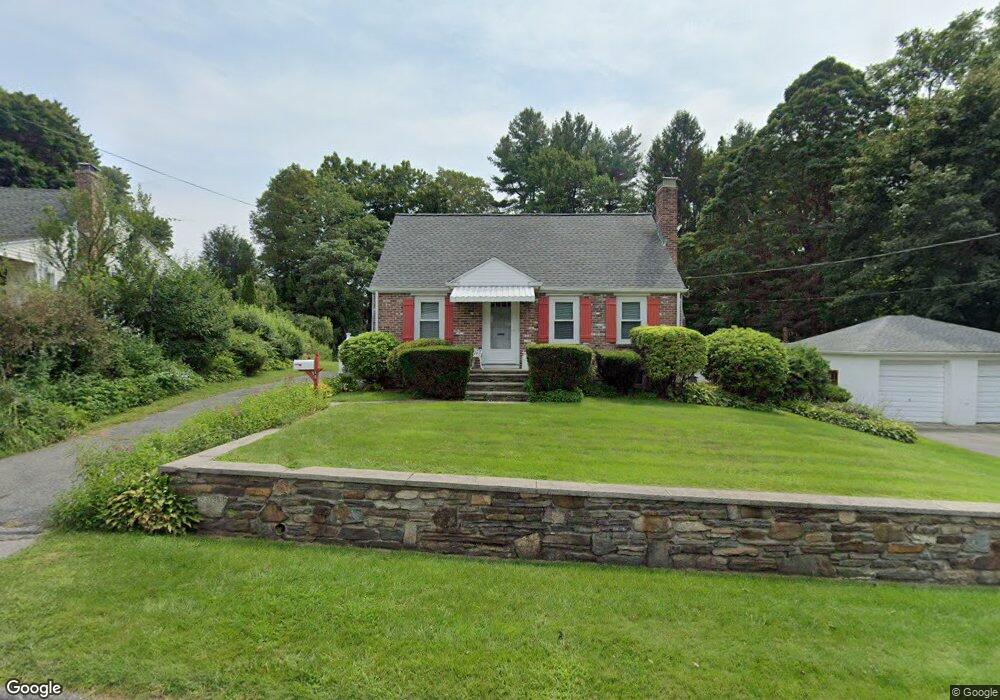
16 Brookman St Worcester, MA 01606
Indian Hill NeighborhoodEstimated Value: $385,308 - $424,000
3
Beds
1
Bath
960
Sq Ft
$423/Sq Ft
Est. Value
About This Home
This home is located at 16 Brookman St, Worcester, MA 01606 and is currently estimated at $405,827, approximately $422 per square foot. 16 Brookman St is a home located in Worcester County with nearby schools including Nelson Place Elementary School, Chandler Magnet, and Jacob Hiatt Magnet School.
Ownership History
Date
Name
Owned For
Owner Type
Purchase Details
Closed on
Feb 1, 2023
Sold by
Reidy Robert J and Reidy Ronald W
Bought by
Reidy Danielle
Current Estimated Value
Create a Home Valuation Report for This Property
The Home Valuation Report is an in-depth analysis detailing your home's value as well as a comparison with similar homes in the area
Home Values in the Area
Average Home Value in this Area
Purchase History
| Date | Buyer | Sale Price | Title Company |
|---|---|---|---|
| Reidy Danielle | -- | None Available |
Source: Public Records
Tax History Compared to Growth
Tax History
| Year | Tax Paid | Tax Assessment Tax Assessment Total Assessment is a certain percentage of the fair market value that is determined by local assessors to be the total taxable value of land and additions on the property. | Land | Improvement |
|---|---|---|---|---|
| 2025 | $4,168 | $316,000 | $119,800 | $196,200 |
| 2024 | $4,118 | $299,500 | $119,800 | $179,700 |
| 2023 | $3,932 | $274,200 | $104,200 | $170,000 |
| 2022 | $3,587 | $235,800 | $83,400 | $152,400 |
| 2021 | $3,339 | $205,100 | $66,800 | $138,300 |
| 2020 | $3,281 | $193,000 | $66,700 | $126,300 |
| 2019 | $3,137 | $174,300 | $60,400 | $113,900 |
| 2018 | $3,791 | $167,300 | $60,400 | $106,900 |
| 2017 | $3,016 | $156,900 | $60,400 | $96,500 |
| 2016 | $2,937 | $142,500 | $45,900 | $96,600 |
| 2015 | $2,860 | $142,500 | $45,900 | $96,600 |
| 2014 | $2,784 | $142,500 | $45,900 | $96,600 |
Source: Public Records
Map
Nearby Homes
- 9 Emily St
- 308 Holden St
- 5 Birch Hill Rd
- LOT-2 Ararat St
- 9 Watt Rd
- 113 Indian Hill Rd
- 41 Mohave Rd
- 96 Indian Hill Rd
- 189 Holden St
- 16 Mohave Rd
- 68 Indian Hill Rd
- 15 Cheyenne Rd
- 11 Hockanum Way
- 126 Brooks St
- 29 Glenwood St
- 27 Tea Party Cir Unit 27
- 9 Birchwood Dr
- 82 Holden St
- 314 Main St
- 2 Explorers Way Unit 2