16 Dix St Bristol, NH 03222
Estimated Value: $436,824 - $717,000
1
Bed
1
Bath
892
Sq Ft
$650/Sq Ft
Est. Value
About This Home
This home is located at 16 Dix St, Bristol, NH 03222 and is currently estimated at $579,456, approximately $649 per square foot. 16 Dix St is a home located in Grafton County with nearby schools including Bridgewater-Hebron Village School.
Ownership History
Date
Name
Owned For
Owner Type
Purchase Details
Closed on
May 28, 2021
Sold by
J Robert & A H Connors Ret
Bought by
Bean Kristopher and Bean Tandra
Current Estimated Value
Home Financials for this Owner
Home Financials are based on the most recent Mortgage that was taken out on this home.
Original Mortgage
$242,250
Outstanding Balance
$219,327
Interest Rate
2.9%
Mortgage Type
Purchase Money Mortgage
Estimated Equity
$360,129
Purchase Details
Closed on
Feb 2, 2017
Sold by
Connors John R and Connors Anna H
Bought by
J & A Huffman Connors Re
Create a Home Valuation Report for This Property
The Home Valuation Report is an in-depth analysis detailing your home's value as well as a comparison with similar homes in the area
Home Values in the Area
Average Home Value in this Area
Purchase History
| Date | Buyer | Sale Price | Title Company |
|---|---|---|---|
| Bean Kristopher | $255,000 | None Available | |
| J & A Huffman Connors Re | -- | -- |
Source: Public Records
Mortgage History
| Date | Status | Borrower | Loan Amount |
|---|---|---|---|
| Open | Bean Kristopher | $242,250 |
Source: Public Records
Tax History Compared to Growth
Tax History
| Year | Tax Paid | Tax Assessment Tax Assessment Total Assessment is a certain percentage of the fair market value that is determined by local assessors to be the total taxable value of land and additions on the property. | Land | Improvement |
|---|---|---|---|---|
| 2024 | $2,336 | $432,600 | $152,500 | $280,100 |
| 2023 | $1,967 | $244,000 | $94,500 | $149,500 |
| 2022 | $2,015 | $244,000 | $94,500 | $149,500 |
| 2021 | $2,018 | $244,000 | $94,500 | $149,500 |
| 2020 | $2,045 | $244,000 | $94,500 | $149,500 |
| 2019 | $1,952 | $200,000 | $82,800 | $117,200 |
| 2018 | $1,896 | $200,000 | $82,800 | $117,200 |
| 2017 | $1,924 | $200,000 | $82,800 | $117,200 |
| 2016 | $1,886 | $200,000 | $82,800 | $117,200 |
| 2015 | $2,035 | $209,100 | $91,900 | $117,200 |
| 2014 | $1,815 | $194,500 | $91,900 | $102,600 |
Source: Public Records
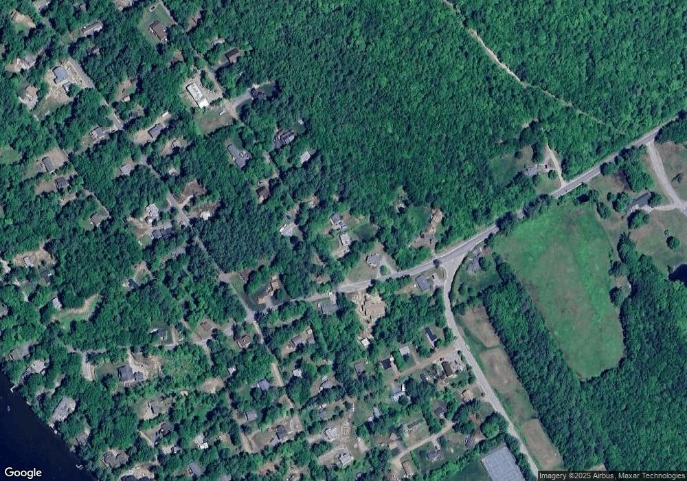
Map
Nearby Homes
- 862 Mayhew Turnpike Unit 1
- 199 Cottage City Rd
- 114 Ledgewood Terrace
- 383 Wulamat Rd
- 40 Adams Rd
- 35 Manor Estates Dr Unit 14
- 497 W Shore Rd
- 4 Birchwood Dr Unit A
- 26 Don Gerry Rd
- 00 Ledgewood Cir Unit 7
- 94 Mandi Ln
- 10 Merrill Rd
- 125 Verrill Rd
- 341 Perkins Hill Rd
- 301 Perkins Hill Rd
- Lot 26 Skyline Dr
- Lot 7 Hall Rd
- Lots 1 & 2 Hall Rd
- 0 Skyline Dr Unit 19
- 29 Daniels Rd
- 30 Woodside Dr
- 18 Dix St
- 34 Dix St
- 23 Dix St
- 55 Woodside Dr
- 44 Dix St
- 711 Whittemore Point Rd S
- 2 Woodside Dr
- 76 Woodside Dr
- 54 Dix St
- 43 Dix St
- 16 Pine St N
- 20 Hillcrest Rd
- 66 Dix St
- 385 Whittemore Point Rd N
- 10 Hillcrest Rd
- 15 Pine St S
- 32 Hillcrest Rd
- 120 Whittemore Point Rd S Unit 2
- 23 Pine St S