16 Dusty Ln Orange, MA 01364
Estimated Value: $467,000 - $596,000
5
Beds
2
Baths
2,316
Sq Ft
$221/Sq Ft
Est. Value
About This Home
This home is located at 16 Dusty Ln, Orange, MA 01364 and is currently estimated at $512,578, approximately $221 per square foot. 16 Dusty Ln is a home located in Franklin County with nearby schools including Fisher Hill and Ralph C Mahar Regional.
Ownership History
Date
Name
Owned For
Owner Type
Purchase Details
Closed on
Jan 26, 2016
Sold by
Anderson Beth A
Bought by
Glatczak Eric D and Glatczak Brittany R
Current Estimated Value
Home Financials for this Owner
Home Financials are based on the most recent Mortgage that was taken out on this home.
Original Mortgage
$234,945
Outstanding Balance
$187,476
Interest Rate
3.98%
Mortgage Type
VA
Estimated Equity
$325,102
Purchase Details
Closed on
May 13, 2010
Sold by
Barnes Larry L and Anderson Bethann
Bought by
Anderson Bethann
Purchase Details
Closed on
Nov 7, 2006
Sold by
Barnes Larry L
Bought by
Barnes Bethann and Barnes Larry L
Home Financials for this Owner
Home Financials are based on the most recent Mortgage that was taken out on this home.
Original Mortgage
$173,600
Interest Rate
6.47%
Mortgage Type
Purchase Money Mortgage
Create a Home Valuation Report for This Property
The Home Valuation Report is an in-depth analysis detailing your home's value as well as a comparison with similar homes in the area
Home Values in the Area
Average Home Value in this Area
Purchase History
| Date | Buyer | Sale Price | Title Company |
|---|---|---|---|
| Glatczak Eric D | $230,000 | -- | |
| Anderson Bethann | -- | -- | |
| Barnes Bethann | -- | -- |
Source: Public Records
Mortgage History
| Date | Status | Borrower | Loan Amount |
|---|---|---|---|
| Open | Glatczak Eric D | $234,945 | |
| Previous Owner | Barnes Bethann | $173,600 |
Source: Public Records
Tax History Compared to Growth
Tax History
| Year | Tax Paid | Tax Assessment Tax Assessment Total Assessment is a certain percentage of the fair market value that is determined by local assessors to be the total taxable value of land and additions on the property. | Land | Improvement |
|---|---|---|---|---|
| 2025 | $78 | $474,400 | $38,300 | $436,100 |
| 2024 | $6,303 | $361,400 | $38,300 | $323,100 |
| 2023 | $5,429 | $302,300 | $38,300 | $264,000 |
| 2022 | $5,596 | $292,700 | $38,300 | $254,400 |
| 2021 | $4,958 | $247,300 | $59,800 | $187,500 |
| 2020 | $4,985 | $245,200 | $59,300 | $185,900 |
| 2019 | $4,930 | $218,900 | $53,200 | $165,700 |
| 2018 | $4,752 | $216,600 | $52,400 | $164,200 |
| 2017 | $4,709 | $221,800 | $52,400 | $169,400 |
| 2016 | $4,529 | $208,700 | $52,400 | $156,300 |
| 2015 | $3,153 | $151,800 | $52,400 | $99,400 |
| 2014 | $3,066 | $155,300 | $52,400 | $102,900 |
Source: Public Records
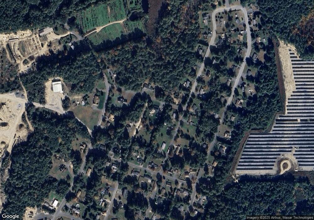
Map
Nearby Homes
- 15 Tully Rd
- 31 Pinedale Rd
- 660 Pinedale Ave
- 0 W Royalston Rd
- 882 Old Keene Rd
- 87 Bellevue Dr E
- 206 Intervale Ave
- 421 Fredette St
- 25 Sunset Ave
- 220 Orange St
- 128 Orange St
- 330 N Orange Rd
- 60 Silver Lake St
- 70 Brattle St
- 106 Ridge Ave
- 94 Marble St
- 2791 Old Keene Rd
- 53 Union St
- 84 Ward St
- 282 School St