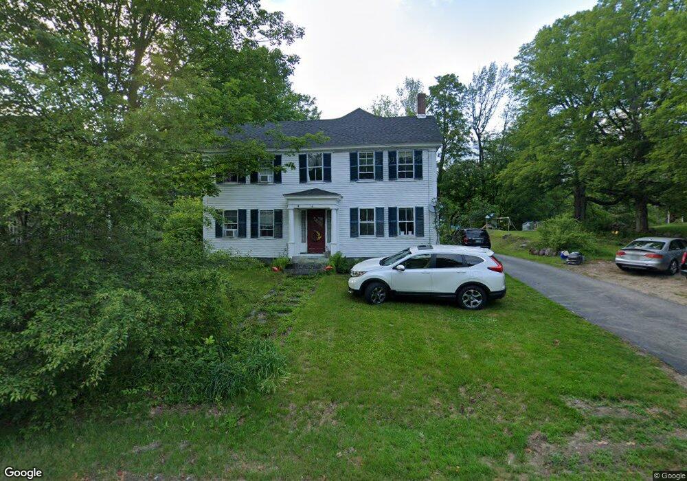
16 Francestown Rd Bennington, NH 03442
Estimated Value: $356,352 - $438,000
5
Beds
2
Baths
2,932
Sq Ft
$139/Sq Ft
Est. Value
About This Home
This home is located at 16 Francestown Rd, Bennington, NH 03442 and is currently estimated at $408,838, approximately $139 per square foot. 16 Francestown Rd is a home with nearby schools including Pierce Elementary School, Great Brook School, and Conval Regional High School.
Ownership History
Date
Name
Owned For
Owner Type
Purchase Details
Closed on
Sep 19, 2005
Sold by
Roberts Jennifer A and Roberts Shannon A
Bought by
Holcombe Leslie Louise
Current Estimated Value
Home Financials for this Owner
Home Financials are based on the most recent Mortgage that was taken out on this home.
Original Mortgage
$144,000
Interest Rate
5.84%
Mortgage Type
Purchase Money Mortgage
Create a Home Valuation Report for This Property
The Home Valuation Report is an in-depth analysis detailing your home's value as well as a comparison with similar homes in the area
Home Values in the Area
Average Home Value in this Area
Purchase History
| Date | Buyer | Sale Price | Title Company |
|---|---|---|---|
| Holcombe Leslie Louise | $180,000 | -- |
Source: Public Records
Mortgage History
| Date | Status | Borrower | Loan Amount |
|---|---|---|---|
| Open | Holcombe Leslie Louise | $123,668 | |
| Closed | Holcombe Leslie Louise | $144,000 | |
| Previous Owner | Holcombe Leslie Louise | $40,000 |
Source: Public Records
Tax History Compared to Growth
Tax History
| Year | Tax Paid | Tax Assessment Tax Assessment Total Assessment is a certain percentage of the fair market value that is determined by local assessors to be the total taxable value of land and additions on the property. | Land | Improvement |
|---|---|---|---|---|
| 2024 | $4,593 | $204,400 | $36,500 | $167,900 |
| 2023 | $6,571 | $204,400 | $36,500 | $167,900 |
| 2022 | $6,469 | $204,400 | $36,500 | $167,900 |
| 2020 | $6,048 | $204,400 | $36,500 | $167,900 |
| 2019 | $5,913 | $204,400 | $36,500 | $167,900 |
| 2018 | $5,784 | $177,900 | $29,500 | $148,400 |
| 2017 | $4,560 | $177,900 | $29,500 | $148,400 |
| 2016 | $13 | $177,900 | $29,500 | $148,400 |
| 2015 | $5,440 | $177,900 | $29,500 | $148,400 |
| 2014 | $5,195 | $177,900 | $29,500 | $148,400 |
| 2013 | $5,265 | $207,300 | $41,500 | $165,800 |
Source: Public Records
Map
Nearby Homes
- 151 U S 202
- 15 Dodge Hill Rd
- M16-L02 U S Highway 202
- 25 Halcyon Place
- 23 Depot St
- 38 Moose Brook Ln
- 128 Onset Rd
- 31 Moose Brook Ln
- 42 Pleasant St
- 10 Onset Rd Unit 22B
- 10 Onset Rd Unit 32B
- 16 Jameson Ave
- 13 Elm St
- 39 Birch Glen Dr
- 69 Birch Glen Dr Unit 2
- 29 N Main St
- 1 Goodell Rd
- 100 Antrim Rd
- 008-043-001 School House Rd
- 008-043-000 School House Rd
- 14 Francestown Rd
- 15 Francestown Rd
- 20 Francestown Rd
- 22 Eaton Ave
- 25 Francestown Rd
- 30 Eaton Ave
- 0 S Bennington Rd Unit 4680208
- 23 Francestown Rd
- 30 Francestown Rd
- 27 Francestown Rd
- 35 Main St
- 0 Greenfield Rd
- 0 Greenfield Rd Unit 4489760
- 11 Main St
- 5 Eaton Ave
- 9 Main St
- 2 Greenfield Rd
- 11 Eaton Ave
- 35 Francestown Rd
- 10 Greenfield Rd Unit Rear