16 Gladstone Ave Wareham, MA 02571
Estimated Value: $607,000 - $711,000
2
Beds
1
Bath
1,874
Sq Ft
$349/Sq Ft
Est. Value
About This Home
This home is located at 16 Gladstone Ave, Wareham, MA 02571 and is currently estimated at $654,266, approximately $349 per square foot. 16 Gladstone Ave is a home.
Ownership History
Date
Name
Owned For
Owner Type
Purchase Details
Closed on
Aug 2, 2021
Sold by
Amato Marco G
Bought by
Amato Frank
Current Estimated Value
Home Financials for this Owner
Home Financials are based on the most recent Mortgage that was taken out on this home.
Original Mortgage
$112,000
Outstanding Balance
$101,008
Interest Rate
2.93%
Mortgage Type
Purchase Money Mortgage
Estimated Equity
$553,258
Purchase Details
Closed on
Jul 1, 2014
Sold by
Amato David J and Amato Elizabeth A
Bought by
Amato Marco G
Home Financials for this Owner
Home Financials are based on the most recent Mortgage that was taken out on this home.
Original Mortgage
$120,000
Interest Rate
4.19%
Mortgage Type
New Conventional
Create a Home Valuation Report for This Property
The Home Valuation Report is an in-depth analysis detailing your home's value as well as a comparison with similar homes in the area
Purchase History
| Date | Buyer | Sale Price | Title Company |
|---|---|---|---|
| Amato Frank | $140,000 | None Available | |
| Amato Frank | $140,000 | None Available | |
| Amato Marco G | $150,000 | -- | |
| Amato Marco G | $150,000 | -- |
Source: Public Records
Mortgage History
| Date | Status | Borrower | Loan Amount |
|---|---|---|---|
| Open | Amato Frank | $112,000 | |
| Closed | Amato Frank | $112,000 | |
| Previous Owner | Amato Marco G | $120,000 |
Source: Public Records
Tax History
| Year | Tax Paid | Tax Assessment Tax Assessment Total Assessment is a certain percentage of the fair market value that is determined by local assessors to be the total taxable value of land and additions on the property. | Land | Improvement |
|---|---|---|---|---|
| 2025 | $5,860 | $562,400 | $247,000 | $315,400 |
| 2024 | $5,675 | $505,300 | $175,200 | $330,100 |
| 2023 | $5,189 | $458,900 | $159,300 | $299,600 |
| 2022 | $5,189 | $393,700 | $159,300 | $234,400 |
| 2021 | $4,857 | $361,100 | $159,300 | $201,800 |
| 2020 | $4,674 | $352,500 | $159,300 | $193,200 |
| 2019 | $4,453 | $335,100 | $145,000 | $190,100 |
| 2018 | $4,182 | $306,800 | $145,000 | $161,800 |
| 2017 | $4,126 | $306,800 | $145,000 | $161,800 |
| 2016 | $4,381 | $323,800 | $179,800 | $144,000 |
| 2015 | $4,186 | $320,300 | $179,800 | $140,500 |
| 2014 | $3,680 | $286,400 | $141,600 | $144,800 |
Source: Public Records
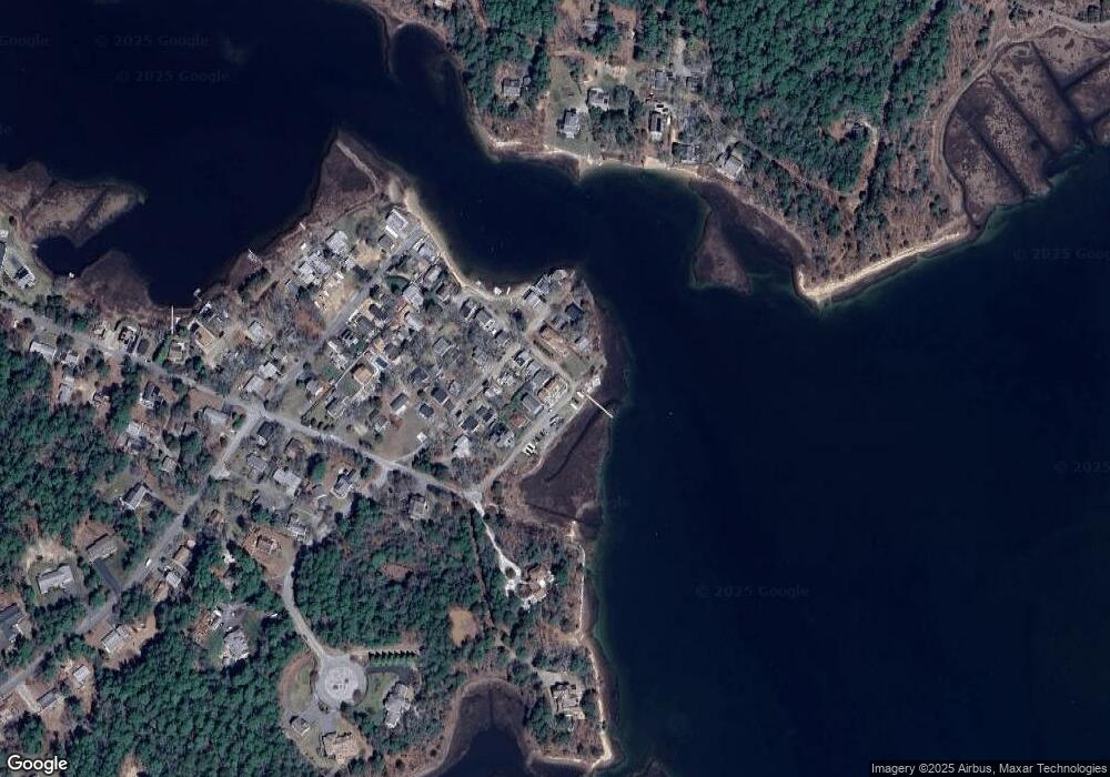
Map
Nearby Homes
- 0 Squaw's Path
- 65 Great Neck Rd
- 14 Over Jordan Rd
- 8 Over Jordan Rd
- 276a Onset Ave
- 391 Onset Ave
- 1 Gibbs Ball Park Rd
- 10 Beacon St Unit 83
- 26 Highland Ave
- 12 Beacon St Unit 84
- 200 Great Neck Rd
- 10 East Blvd
- 10 East Blvd
- 124 Minot Ave Unit 1
- 35 Locust St
- 20 Evergreen St
- 20 Evergreen St
- 35 Locust St
- 7 Knowles Ave
- Lot 108 21st St
- 4 Franklin St
- 4 Franklin St
- 14 Gladstone Ave
- 3 Frankliln St
- 6 Franklin St
- 6 Franklin St
- 14 Locust St
- 6 Gladstone Ave
- 11 Atlantic Ave
- 13 Atlantic Ave
- 3 Franklin St
- 3 Franklin St
- 3 Franklin St Unit yr round
- 10 Gladstone Ave
- 9 Atlantic Ave Unit 1
- 9 Atlantic Ave
- 7 Franklin St
- 4 Gladstone Ave
- 15 Atlantic Ave
- 16 Franklin St
Your Personal Tour Guide
Ask me questions while you tour the home.