16 Hermit Cove Rd Moultonborough, NH 03254
Estimated Value: $3,998,000 - $4,069,000
3
Beds
5
Baths
5,773
Sq Ft
$697/Sq Ft
Est. Value
About This Home
This home is located at 16 Hermit Cove Rd, Moultonborough, NH 03254 and is currently estimated at $4,021,895, approximately $696 per square foot. 16 Hermit Cove Rd is a home located in Carroll County with nearby schools including Moultonborough Central School and Moultonborough Academy High School.
Ownership History
Date
Name
Owned For
Owner Type
Purchase Details
Closed on
Dec 23, 2021
Sold by
Peter B Eckhoff Ret and Eckhoff
Bought by
Peter B Eckhoff Ret and Eckhoff
Current Estimated Value
Home Financials for this Owner
Home Financials are based on the most recent Mortgage that was taken out on this home.
Original Mortgage
$2,750,000
Outstanding Balance
$2,529,617
Interest Rate
3.12%
Mortgage Type
Stand Alone Refi Refinance Of Original Loan
Estimated Equity
$1,492,278
Purchase Details
Closed on
Apr 22, 2014
Sold by
Eckhoff Michelle M and Eckhoff Peter B
Bought by
Peter Beckhoff Ret and Eckhoff
Create a Home Valuation Report for This Property
The Home Valuation Report is an in-depth analysis detailing your home's value as well as a comparison with similar homes in the area
Home Values in the Area
Average Home Value in this Area
Purchase History
| Date | Buyer | Sale Price | Title Company |
|---|---|---|---|
| Peter B Eckhoff Ret | -- | None Available | |
| Peter B Eckhoff Ret | -- | None Available | |
| Peter Beckhoff Ret | -- | -- | |
| Peter Beckhoff Ret | -- | -- |
Source: Public Records
Mortgage History
| Date | Status | Borrower | Loan Amount |
|---|---|---|---|
| Open | Peter B Eckhoff Ret | $2,750,000 | |
| Closed | Peter B Eckhoff Ret | $2,750,000 |
Source: Public Records
Tax History Compared to Growth
Tax History
| Year | Tax Paid | Tax Assessment Tax Assessment Total Assessment is a certain percentage of the fair market value that is determined by local assessors to be the total taxable value of land and additions on the property. | Land | Improvement |
|---|---|---|---|---|
| 2024 | $22,227 | $3,933,900 | $1,287,400 | $2,646,500 |
| 2023 | $19,424 | $3,407,700 | $1,151,600 | $2,256,100 |
| 2022 | $14,584 | $3,051,100 | $985,300 | $2,065,800 |
| 2021 | $16,939 | $2,426,800 | $760,000 | $1,666,800 |
| 2020 | $10,095 | $1,415,900 | $686,700 | $729,200 |
| 2019 | $7,327 | $1,024,800 | $664,900 | $359,900 |
| 2018 | $5,204 | $674,100 | $573,100 | $101,000 |
| 2017 | $5,553 | $675,600 | $573,100 | $102,500 |
| 2016 | $5,714 | $653,800 | $554,000 | $99,800 |
| 2015 | $5,933 | $658,500 | $554,000 | $104,500 |
| 2014 | $5,834 | $658,500 | $554,000 | $104,500 |
| 2013 | $5,727 | $659,000 | $554,000 | $105,000 |
Source: Public Records
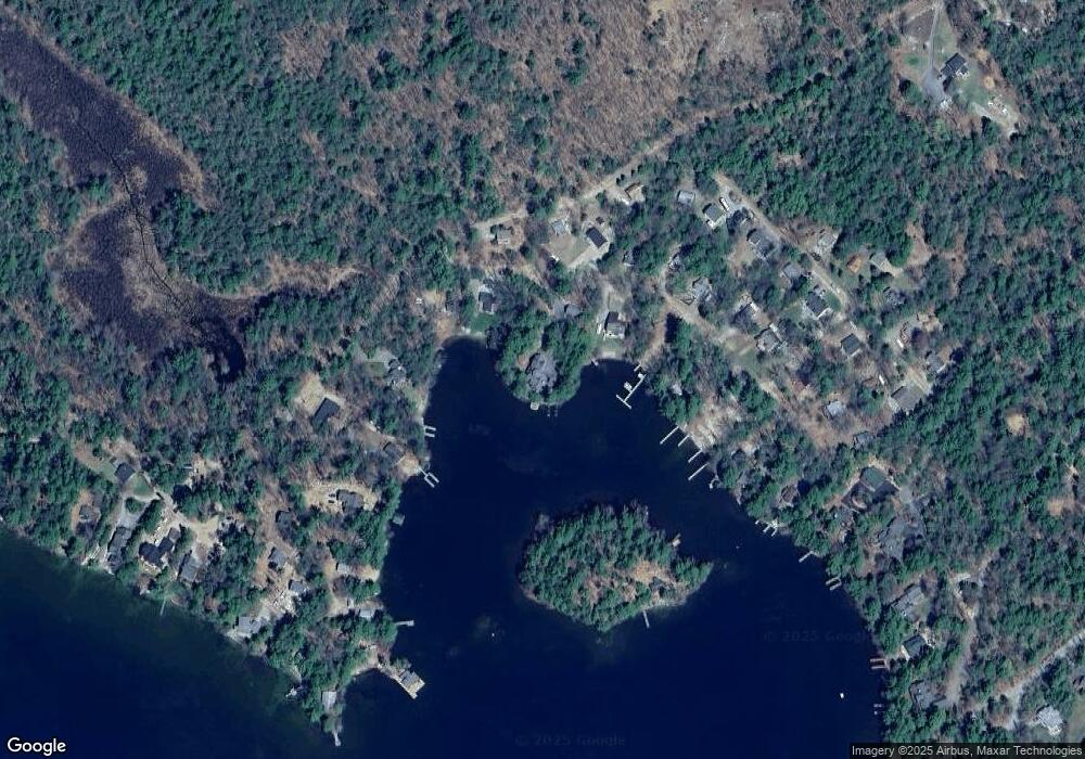
Map
Nearby Homes
- 31 Rays Way
- 23 Harbourside Dr
- 5 Ferry Rd
- Lot 16 Long Point Rd
- 29 Kona Farm Rd
- 62 Boathouse Rd
- 16 Long Island Rd
- 67 Hoyt Mill Rd
- 4 Orton Ln
- 00 Moultonboro Neck Rd Unit 2
- 00 Moultonboro Neck Rd
- 21 Orton Ln
- 11 Geery Ln
- 27 First Point Rd
- 00 Beede Rd
- 130 W Point Rd
- 65 Beede Rd
- 10 Woodridge Rd
- 30 Leopards Leap
- 167 Long Island Rd
- 60 Little Bear Island
- 8 Hermit Cove Rd
- 18 Hermit Cove Rd
- 6 Hermit Cove Rd
- 111 Kimball Dr
- 79 Kimball Dr
- 73 Kimball Dr
- 123 Kimball Dr
- 34 Hermit Cove Rd
- 19 Hermit Cove Rd
- 23 Hermit Cove Rd
- 115 Kimball Dr
- 25 Hermit Cove Rd
- 25 Lower Hermit Cove Road With Boat Slip
- 29 Hermit Cove Rd
- 11 Fuhr Dr
- 2 Hermit Island
- 67 Kimball Dr
- 33 Hermit Cove Rd
- 44 Hermit Cove Rd