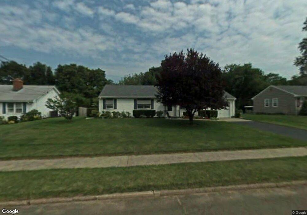
16 Mattes Rd Hamden, CT 06514
Estimated Value: $325,000 - $409,000
3
Beds
2
Baths
1,315
Sq Ft
$282/Sq Ft
Est. Value
About This Home
This home is located at 16 Mattes Rd, Hamden, CT 06514 and is currently estimated at $371,327, approximately $282 per square foot. 16 Mattes Rd is a home located in New Haven County with nearby schools including Hamden Middle School, Hamden High School, and Alphabet Academy - Hamden North Campus.
Ownership History
Date
Name
Owned For
Owner Type
Purchase Details
Closed on
Nov 5, 2018
Sold by
Dillon John
Bought by
Dillon Carole A
Current Estimated Value
Purchase Details
Closed on
Jun 25, 1997
Sold by
Ferraro John and Ferraro Julia
Bought by
Dillon Jeanette
Home Financials for this Owner
Home Financials are based on the most recent Mortgage that was taken out on this home.
Original Mortgage
$119,070
Interest Rate
7.81%
Mortgage Type
Unknown
Purchase Details
Closed on
Sep 1, 1989
Sold by
Est Farnocchia P H
Bought by
Ferraro John
Home Financials for this Owner
Home Financials are based on the most recent Mortgage that was taken out on this home.
Original Mortgage
$60,000
Interest Rate
9.7%
Create a Home Valuation Report for This Property
The Home Valuation Report is an in-depth analysis detailing your home's value as well as a comparison with similar homes in the area
Home Values in the Area
Average Home Value in this Area
Purchase History
| Date | Buyer | Sale Price | Title Company |
|---|---|---|---|
| Dillon Carole A | -- | -- | |
| Dillon Jeanette | $128,000 | -- | |
| Ferraro John | $160,001 | -- |
Source: Public Records
Mortgage History
| Date | Status | Borrower | Loan Amount |
|---|---|---|---|
| Previous Owner | Ferraro John | $119,070 | |
| Previous Owner | Ferraro John | $80,000 | |
| Previous Owner | Ferraro John | $60,000 |
Source: Public Records
Tax History
| Year | Tax Paid | Tax Assessment Tax Assessment Total Assessment is a certain percentage of the fair market value that is determined by local assessors to be the total taxable value of land and additions on the property. | Land | Improvement |
|---|---|---|---|---|
| 2025 | $10,739 | $206,990 | $54,250 | $152,740 |
| 2024 | $7,396 | $133,000 | $38,010 | $94,990 |
| 2023 | $7,499 | $133,000 | $38,010 | $94,990 |
| 2022 | $7,379 | $133,000 | $38,010 | $94,990 |
| 2021 | $6,975 | $133,000 | $38,010 | $94,990 |
| 2020 | $6,877 | $132,300 | $66,220 | $66,080 |
| 2019 | $6,464 | $132,300 | $66,220 | $66,080 |
| 2018 | $6,345 | $132,300 | $66,220 | $66,080 |
| 2017 | $5,988 | $132,300 | $66,220 | $66,080 |
| 2016 | $6,001 | $132,300 | $66,220 | $66,080 |
| 2015 | $6,102 | $149,310 | $73,570 | $75,740 |
| 2014 | $5,962 | $149,310 | $73,570 | $75,740 |
Source: Public Records
Map
Nearby Homes
- 900 Mix Ave Unit 69
- 900 Mix Ave Unit 123
- 200 Howard Dr
- 128 Shepards Knoll Dr Unit 128
- 92 Shepards Knoll Dr Unit 92
- 72 Shepards Knoll Dr
- 15 Farm Brook Ct
- 172 Towne House Rd
- 175 Mill Pond Rd Unit 346
- 175 Mill Pond Rd Unit 444
- 175 Mill Pond Rd Unit 214
- 175 Mill Pond Rd Unit 201
- 37 Towne House Rd
- 491 Shepard Ave
- 32 Towne House Rd Unit 32
- 33 Sky View Cir
- 88 E Gate Ln Unit 88
- 645 Paradise Ave
- 144 E Gate Ln
- 34 Canterbury Rd
Your Personal Tour Guide
Ask me questions while you tour the home.