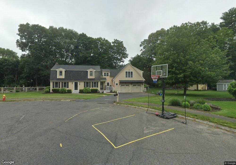
16 Meadow Ln Unit 1 Mansfield, MA 02048
Estimated Value: $829,112 - $946,000
4
Beds
4
Baths
2,517
Sq Ft
$353/Sq Ft
Est. Value
About This Home
This home is located at 16 Meadow Ln Unit 1, Mansfield, MA 02048 and is currently estimated at $887,528, approximately $352 per square foot. 16 Meadow Ln Unit 1 is a home located in Bristol County with nearby schools including Everett W. Robinson Elementary School, Jordan/Jackson Elementary School, and Harold L. Qualters Middle School.
Ownership History
Date
Name
Owned For
Owner Type
Purchase Details
Closed on
Jun 29, 2012
Sold by
Lea Fergus C and Lea Ellen N
Bought by
Monterieff Jon I and Monterieff Caitlin J
Current Estimated Value
Purchase Details
Closed on
Jun 28, 2002
Sold by
Brown Ft
Bought by
Lea Fergus Casey and Lea Ellen N
Home Financials for this Owner
Home Financials are based on the most recent Mortgage that was taken out on this home.
Original Mortgage
$278,000
Interest Rate
6.92%
Mortgage Type
Purchase Money Mortgage
Create a Home Valuation Report for This Property
The Home Valuation Report is an in-depth analysis detailing your home's value as well as a comparison with similar homes in the area
Home Values in the Area
Average Home Value in this Area
Purchase History
| Date | Buyer | Sale Price | Title Company |
|---|---|---|---|
| Monterieff Jon I | $457,000 | -- | |
| Lea Fergus Casey | $308,000 | -- |
Source: Public Records
Mortgage History
| Date | Status | Borrower | Loan Amount |
|---|---|---|---|
| Previous Owner | Lea Fergus Casey | $278,000 | |
| Previous Owner | Lea Fergus Casey | $15,000 | |
| Previous Owner | Lea Fergus Casey | $60,000 |
Source: Public Records
Tax History Compared to Growth
Tax History
| Year | Tax Paid | Tax Assessment Tax Assessment Total Assessment is a certain percentage of the fair market value that is determined by local assessors to be the total taxable value of land and additions on the property. | Land | Improvement |
|---|---|---|---|---|
| 2025 | $9,365 | $711,100 | $269,300 | $441,800 |
| 2024 | $9,176 | $679,700 | $281,000 | $398,700 |
| 2023 | $8,899 | $631,600 | $281,000 | $350,600 |
| 2022 | $8,462 | $557,800 | $260,100 | $297,700 |
| 2021 | $8,006 | $521,200 | $216,900 | $304,300 |
| 2020 | $7,884 | $513,300 | $216,900 | $296,400 |
| 2019 | $7,567 | $497,200 | $180,600 | $316,600 |
| 2018 | $7,523 | $483,200 | $172,200 | $311,000 |
| 2017 | $7,055 | $469,700 | $167,100 | $302,600 |
| 2016 | $6,771 | $439,400 | $159,100 | $280,300 |
| 2015 | $6,550 | $422,600 | $159,100 | $263,500 |
Source: Public Records
Map
Nearby Homes
- 414 Branch St
- 460 Ware St
- 442 Ware St
- 18 Columbine Rd
- 15 Reservoir St Unit 44
- 28 Court St
- 15 Rock Ln
- Lot 3 Birch Ln
- 150 Rumford Ave Unit 110
- 21 Juniper Rd
- 22 Pleasant St Unit C
- 82 Brook St
- 166 Chauncy St
- 12 Sylvan Rd
- 15 Patten Rd
- 0 Brook Pkwy
- 212 Mill St
- 631 East St Unit E203
- 157 Mansfield Ave Unit 14
- 277 Central St