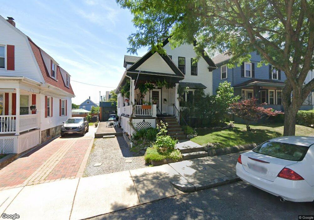
16 Rawston Rd Roslindale, MA 02131
Roslindale NeighborhoodEstimated Value: $773,232 - $884,000
3
Beds
1
Bath
1,531
Sq Ft
$529/Sq Ft
Est. Value
About This Home
This home is located at 16 Rawston Rd, Roslindale, MA 02131 and is currently estimated at $809,308, approximately $528 per square foot. 16 Rawston Rd is a home located in Suffolk County with nearby schools including Brooke Charter School Roslindale, Sacred Heart STEM School, and St. Clare High School.
Create a Home Valuation Report for This Property
The Home Valuation Report is an in-depth analysis detailing your home's value as well as a comparison with similar homes in the area
Home Values in the Area
Average Home Value in this Area
Tax History Compared to Growth
Tax History
| Year | Tax Paid | Tax Assessment Tax Assessment Total Assessment is a certain percentage of the fair market value that is determined by local assessors to be the total taxable value of land and additions on the property. | Land | Improvement |
|---|---|---|---|---|
| 2025 | $7,933 | $685,100 | $206,800 | $478,300 |
| 2024 | $6,609 | $606,300 | $197,300 | $409,000 |
| 2023 | $6,083 | $566,400 | $184,300 | $382,100 |
| 2022 | $5,708 | $524,600 | $170,700 | $353,900 |
| 2021 | $5,199 | $487,300 | $164,100 | $323,200 |
| 2020 | $4,984 | $472,000 | $153,000 | $319,000 |
| 2019 | $4,717 | $447,500 | $127,900 | $319,600 |
| 2018 | $4,466 | $426,100 | $127,900 | $298,200 |
| 2017 | $4,259 | $402,200 | $127,900 | $274,300 |
| 2016 | $4,059 | $369,000 | $127,900 | $241,100 |
| 2015 | $3,826 | $315,900 | $113,900 | $202,000 |
| 2014 | $3,609 | $286,900 | $113,900 | $173,000 |
Source: Public Records
Map
Nearby Homes
- 57 Hemman St
- 42 Hemman St
- 61 Whitford St
- 75 Glendower Rd
- 89 Glendower Rd
- 146 Kittredge St Unit 2
- 296 Kittredge St Unit 298
- 69 Metropolitan Ave
- 3 Whitford St
- 29 Rosecliff St
- 52 Metropolitan Ave Unit 3
- 19-21 Augustus Ave
- 42 Doncaster St
- 250 Poplar St Unit 1
- 16 Hilburn Place
- 6 Hayes Rd Unit 16
- 41 Hawthorne St Unit 2
- 2 Pinedale Rd Unit 3
- 34 Averton St
- 142 Birch St