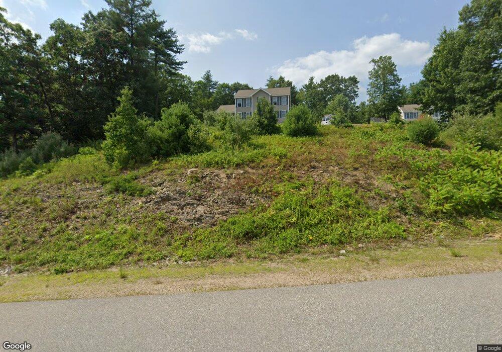
16 Sherman Dr Raymond, NH 03077
Estimated Value: $627,183 - $651,000
4
Beds
3
Baths
2,228
Sq Ft
$286/Sq Ft
Est. Value
About This Home
This home is located at 16 Sherman Dr, Raymond, NH 03077 and is currently estimated at $637,296, approximately $286 per square foot. 16 Sherman Dr is a home located in Rockingham County with nearby schools including Lamprey River Elementary School, Iber Holmes Gove Middle School, and Raymond High School.
Ownership History
Date
Name
Owned For
Owner Type
Purchase Details
Closed on
May 24, 2004
Sold by
Jemco Bldr & Developer
Bought by
Mckenney Scott R and Mckenney Nicole M
Current Estimated Value
Home Financials for this Owner
Home Financials are based on the most recent Mortgage that was taken out on this home.
Original Mortgage
$222,800
Interest Rate
5.75%
Mortgage Type
Purchase Money Mortgage
Create a Home Valuation Report for This Property
The Home Valuation Report is an in-depth analysis detailing your home's value as well as a comparison with similar homes in the area
Home Values in the Area
Average Home Value in this Area
Purchase History
| Date | Buyer | Sale Price | Title Company |
|---|---|---|---|
| Mckenney Scott R | $278,500 | -- |
Source: Public Records
Mortgage History
| Date | Status | Borrower | Loan Amount |
|---|---|---|---|
| Open | Mckenney Scott R | $205,400 | |
| Closed | Mckenney Scott R | $214,200 | |
| Closed | Mckenney Scott R | $222,800 |
Source: Public Records
Tax History Compared to Growth
Tax History
| Year | Tax Paid | Tax Assessment Tax Assessment Total Assessment is a certain percentage of the fair market value that is determined by local assessors to be the total taxable value of land and additions on the property. | Land | Improvement |
|---|---|---|---|---|
| 2024 | $8,190 | $373,800 | $118,500 | $255,300 |
| 2023 | $7,745 | $373,800 | $118,500 | $255,300 |
| 2022 | $6,837 | $373,800 | $118,500 | $255,300 |
| 2021 | $6,919 | $373,800 | $118,500 | $255,300 |
| 2020 | $7,231 | $276,000 | $85,000 | $191,000 |
| 2019 | $7,339 | $276,000 | $85,000 | $191,000 |
| 2018 | $7,273 | $276,000 | $85,000 | $191,000 |
| 2017 | $6,679 | $276,000 | $85,000 | $191,000 |
| 2016 | $6,552 | $276,000 | $85,000 | $191,000 |
| 2015 | $6,461 | $257,600 | $85,000 | $172,600 |
| 2014 | $6,267 | $257,600 | $85,000 | $172,600 |
| 2013 | $6,080 | $257,200 | $85,000 | $172,200 |
Source: Public Records
Map
Nearby Homes
- 14 Sherman Dr
- 64 Blackstone Dr
- 29 Blackstone Dr
- 2 Blackstone Dr
- 8 Blackstone Dr
- 61 Blackstone Dr
- 61 Blackstone Dr Unit 61
- 61 Blackstone Dr Unit Lot 57
- 47 Blackstone Dr Unit 66
- 43 Blackstone Dr Unit 59
- 44 Blackstone Dr Unit 28
- 27 Blackstone Dr Unit 64
- 25 Blackstone Dr Unit 65
- 30 Blackstone Dr Unit 35
- 34 Blackstone Dr Unit 32
- 35 Blackstone Dr Unit 60
- 29 Blackstone Dr Unit 63
- 38 Blackstone Dr Unit 31
- 31 Blackstone Dr Unit 62
- 36 Blackstone Dr Unit 32