Estimated Value: $1,079,784 - $1,283,000
2
Beds
1
Bath
1,406
Sq Ft
$832/Sq Ft
Est. Value
About This Home
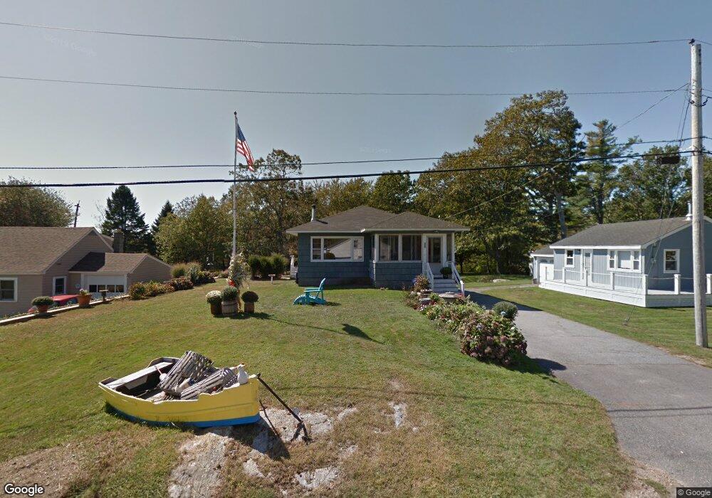
This home is located at 16 Shoalsview Dr, Rye, NH 03870 and is currently estimated at $1,169,946, approximately $832 per square foot. 16 Shoalsview Dr is a home located in Rockingham County with nearby schools including Rye Elementary School, Rye Junior High School, and St Patrick School.
Ownership History
Date
Name
Owned For
Owner Type
Purchase Details
Closed on
Mar 13, 2020
Sold by
Merrill Debra
Bought by
Merrill Debra A and Wilkinson Jonathan
Current Estimated Value
Home Financials for this Owner
Home Financials are based on the most recent Mortgage that was taken out on this home.
Original Mortgage
$474,000
Outstanding Balance
$323,363
Interest Rate
3.5%
Mortgage Type
New Conventional
Estimated Equity
$846,583
Purchase Details
Closed on
Nov 21, 2007
Sold by
Forrest L Beasley Ret and Jo Ann Beasley Ret
Bought by
Merrill Debra and Banyas James
Home Financials for this Owner
Home Financials are based on the most recent Mortgage that was taken out on this home.
Original Mortgage
$300,000
Interest Rate
6.42%
Mortgage Type
Purchase Money Mortgage
Create a Home Valuation Report for This Property
The Home Valuation Report is an in-depth analysis detailing your home's value as well as a comparison with similar homes in the area
Home Values in the Area
Average Home Value in this Area
Purchase History
| Date | Buyer | Sale Price | Title Company |
|---|---|---|---|
| Merrill Debra A | -- | None Available | |
| Merrill Debra | $380,000 | -- |
Source: Public Records
Mortgage History
| Date | Status | Borrower | Loan Amount |
|---|---|---|---|
| Open | Merrill Debra A | $474,000 | |
| Previous Owner | Merrill Debra | $305,000 | |
| Previous Owner | Merrill Debra | $300,000 | |
| Previous Owner | Merrill Debra | $300,000 | |
| Previous Owner | Merrill Debra | $100,000 |
Source: Public Records
Tax History
| Year | Tax Paid | Tax Assessment Tax Assessment Total Assessment is a certain percentage of the fair market value that is determined by local assessors to be the total taxable value of land and additions on the property. | Land | Improvement |
|---|---|---|---|---|
| 2024 | $7,667 | $885,300 | $633,100 | $252,200 |
| 2023 | $7,109 | $885,300 | $633,100 | $252,200 |
| 2022 | $6,179 | $885,300 | $633,100 | $252,200 |
| 2021 | $5,104 | $499,400 | $368,000 | $131,400 |
| 2020 | $5,097 | $498,700 | $368,000 | $130,700 |
| 2019 | $4,954 | $484,700 | $368,000 | $116,700 |
| 2018 | $4,900 | $484,700 | $368,000 | $116,700 |
| 2017 | $4,900 | $484,700 | $368,000 | $116,700 |
| 2016 | $4,810 | $450,400 | $334,400 | $116,000 |
| 2013 | $4,923 | $448,800 | $334,400 | $114,400 |
Source: Public Records
Map
Nearby Homes
- 763 Ocean Blvd
- 1193 Ocean Blvd
- 1215 Ocean Blvd Unit 5
- 267 Pioneer Rd
- 137 Clark Rd
- 236 Sagamore Rd
- 46 Fowler Dr
- 389 Sagamore Rd
- 14 Sagamore Rd Unit 3
- 4 Sagamore Rd
- 104 Odiorne Point Rd
- 1191 - 1193 Ocean Blvd
- 75 Marina Heights Rd
- 239 Gosport Rd
- 1155 Sagamore Ave Unit 2
- 1155 Sagamore Ave Unit 3
- 1591 Ocean Blvd
- 1643 Ocean Blvd
- 17 Lavenger Ln
- 579 Sagamore Ave Unit 60
- 12 Shoalsview Dr
- 18 Shoalsview Dr
- 10 Shoals View Dr
- 24 Shoalsview Dr
- 10 Shoals Ave
- 10 Shoalsview Dr
- 28 Shoals View Dr Unit ID1333613P
- 71 Parsons Rd
- 3 Guzzi Dr
- 901 Ocean Blvd Unit 23
- 901 Ocean Blvd Unit 22
- 901 Ocean Blvd Unit 21
- 901 Ocean Blvd Unit 20
- 901 Ocean Blvd Unit 19
- 901 Ocean Blvd Unit 18
- 901 Ocean Blvd Unit 17
- 901 Ocean Blvd Unit 16
- 901 Ocean Blvd Unit 15
- 901 Ocean Blvd Unit 14
- 901 Ocean Blvd Unit 12
Your Personal Tour Guide
Ask me questions while you tour the home.