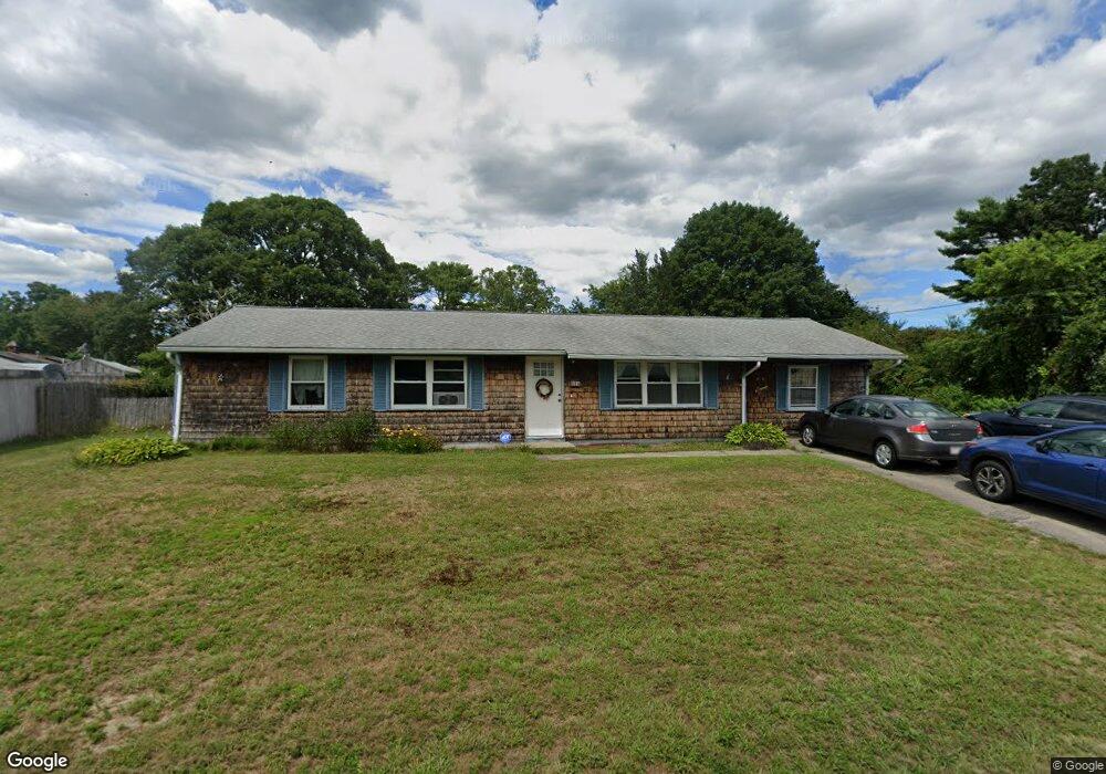
16 Terry Ln E Wareham, MA 02571
Weweantic NeighborhoodEstimated Value: $343,000 - $553,000
3
Beds
1
Bath
1,412
Sq Ft
$322/Sq Ft
Est. Value
About This Home
This home is located at 16 Terry Ln E, Wareham, MA 02571 and is currently estimated at $454,520, approximately $321 per square foot. 16 Terry Ln E is a home located in Plymouth County with nearby schools including Tabor Academy.
Ownership History
Date
Name
Owned For
Owner Type
Purchase Details
Closed on
Oct 19, 1995
Sold by
Department Of Housing & Urban Dev
Bought by
Fowlie Kenneth N and Fowlie Lynn M
Current Estimated Value
Purchase Details
Closed on
Jun 9, 1995
Sold by
Terceira Arthur P
Bought by
Department Of Housing & Urban Dev
Create a Home Valuation Report for This Property
The Home Valuation Report is an in-depth analysis detailing your home's value as well as a comparison with similar homes in the area
Home Values in the Area
Average Home Value in this Area
Purchase History
| Date | Buyer | Sale Price | Title Company |
|---|---|---|---|
| Fowlie Kenneth N | $63,900 | -- | |
| Fowlie Kenneth N | $63,900 | -- | |
| Department Of Housing & Urban Dev | $50,000 | -- | |
| Department Of Housing & Urban Dev | $50,000 | -- |
Source: Public Records
Mortgage History
| Date | Status | Borrower | Loan Amount |
|---|---|---|---|
| Open | Department Of Housing & Urban Dev | $20,000 | |
| Open | Department Of Housing & Urban Dev | $198,000 | |
| Closed | Department Of Housing & Urban Dev | $163,344 |
Source: Public Records
Tax History
| Year | Tax Paid | Tax Assessment Tax Assessment Total Assessment is a certain percentage of the fair market value that is determined by local assessors to be the total taxable value of land and additions on the property. | Land | Improvement |
|---|---|---|---|---|
| 2025 | $3,690 | $354,100 | $109,900 | $244,200 |
| 2024 | $3,759 | $334,700 | $85,900 | $248,800 |
| 2023 | $3,597 | $299,000 | $78,100 | $220,900 |
| 2022 | $3,130 | $237,500 | $78,100 | $159,400 |
| 2021 | $5,602 | $230,100 | $78,100 | $152,000 |
| 2020 | $0 | $217,800 | $78,100 | $139,700 |
| 2019 | $4,412 | $200,600 | $75,200 | $125,400 |
| 2018 | $6,473 | $184,700 | $75,200 | $109,500 |
| 2017 | $6,008 | $177,600 | $75,200 | $102,400 |
| 2016 | $2,177 | $160,900 | $72,800 | $88,100 |
| 2015 | $2,103 | $160,900 | $72,800 | $88,100 |
| 2014 | $2,089 | $162,600 | $69,100 | $93,500 |
Source: Public Records
Map
Nearby Homes
- 9 Woodville Way
- 58 Shady Ln
- 233 Marion Rd
- 21 Bayview St
- 14 Briarwood Dr
- 20 Grant St
- 15 14th Ave
- 12 Taft St
- 4 Roosevelt St
- 10 Barnes St
- 43 Shore Ave
- 15 Broadmarsh Ave
- 0 Cromesett Rd (Off) Unit 73385395
- 6 Allen Ave
- 6 Bourne Terrace
- 10 Longmeadow Dr
- 1 Nimrod Way
- 437 Main St
- 110 Mayflower Ridge Dr
- 929 Point Rd
Your Personal Tour Guide
Ask me questions while you tour the home.