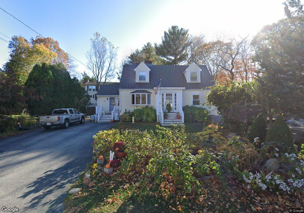
16 Thurston Point Rd Gloucester, MA 01930
Riverview NeighborhoodEstimated Value: $736,251 - $1,130,000
3
Beds
2
Baths
1,651
Sq Ft
$560/Sq Ft
Est. Value
About This Home
This home is located at 16 Thurston Point Rd, Gloucester, MA 01930 and is currently estimated at $924,313, approximately $559 per square foot. 16 Thurston Point Rd is a home located in Essex County with nearby schools including Beeman Memorial, Ralph B O'maley Middle School, and Gloucester High School.
Ownership History
Date
Name
Owned For
Owner Type
Purchase Details
Closed on
Nov 25, 2009
Sold by
Smith Michael E and Smith Mary Beth
Bought by
Leahy Daniel R
Current Estimated Value
Home Financials for this Owner
Home Financials are based on the most recent Mortgage that was taken out on this home.
Original Mortgage
$175,000
Outstanding Balance
$114,262
Interest Rate
4.92%
Mortgage Type
Purchase Money Mortgage
Estimated Equity
$810,051
Create a Home Valuation Report for This Property
The Home Valuation Report is an in-depth analysis detailing your home's value as well as a comparison with similar homes in the area
Home Values in the Area
Average Home Value in this Area
Purchase History
We collect this data history from publicly available records. To have your information removed, we recommend requesting removal directly through your county’s website.
| Date | Buyer | Sale Price | Title Company |
|---|---|---|---|
| Leahy Daniel R | $375,000 | -- |
Source: Public Records
Mortgage History
We collect this data history from publicly available records. To have your information removed, we recommend requesting removal directly through your county’s website.
| Date | Status | Borrower | Loan Amount |
|---|---|---|---|
| Open | Leahy Daniel R | $175,000 | |
| Previous Owner | Leahy Daniel R | $250,000 | |
| Previous Owner | Leahy Daniel R | $250,000 | |
| Previous Owner | Leahy Daniel R | $25,000 |
Source: Public Records
Tax History
| Year | Tax Paid | Tax Assessment Tax Assessment Total Assessment is a certain percentage of the fair market value that is determined by local assessors to be the total taxable value of land and additions on the property. | Land | Improvement |
|---|---|---|---|---|
| 2025 | $5,882 | $605,100 | $210,500 | $394,600 |
| 2024 | $5,905 | $606,900 | $200,500 | $406,400 |
| 2023 | $5,822 | $549,800 | $179,000 | $370,800 |
| 2022 | $5,244 | $447,100 | $152,200 | $294,900 |
| 2021 | $5,294 | $425,600 | $138,300 | $287,300 |
| 2020 | $5,044 | $409,100 | $138,300 | $270,800 |
| 2019 | $4,994 | $393,500 | $138,300 | $255,200 |
| 2018 | $4,878 | $377,300 | $138,300 | $239,000 |
| 2017 | $4,626 | $350,700 | $131,800 | $218,900 |
| 2016 | $4,517 | $331,900 | $132,200 | $199,700 |
| 2015 | $4,326 | $316,900 | $132,200 | $184,700 |
Source: Public Records
Map
Nearby Homes
- 6 Corliss Ave
- 6-8 Joppa Way
- 457 Washington St Unit 2
- 10 Riverview Way Unit A
- 498 Washington St
- 31 Echo Ave
- 27 Gee Ave
- 35 Reservoir Rd
- 167 Atlantic St
- 178 Atlantic St
- 5R Brooks Rd
- 672 Washington St
- 222 Bray St
- 3 Acacia St
- 204 Washington St
- 226 Atlantic St
- 220 Atlantic St
- 105 Centennial Ave
- 8 1/2 Myrtle Square
- 5 Samoset Rd Unit B
- 20 Thurston Point Rd
- 14 Honeysuckle Rd
- 12 Honeysuckle Rd
- 9 Thurston Point Rd
- 8 Thurston Point Rd
- 11 Thurston Point Rd
- 16 Honeysuckle Rd
- 22 Thurston Point Rd
- 7 Thurston Point Rd
- 8 Honeysuckle Rd
- 6 Thurston Point Rd
- 13 Thurston Point Rd
- 19 Thurston Point Rd
- 9 Honeysuckle Rd
- 18 Honeysuckle Rd
- 6 Honeysuckle Rd
- 13R Thurston Point Rd
- 11 Honeysuckle Rd
- 7 Honeysuckle Rd
- 5 Thurston Point Rd
Your Personal Tour Guide
Ask me questions while you tour the home.