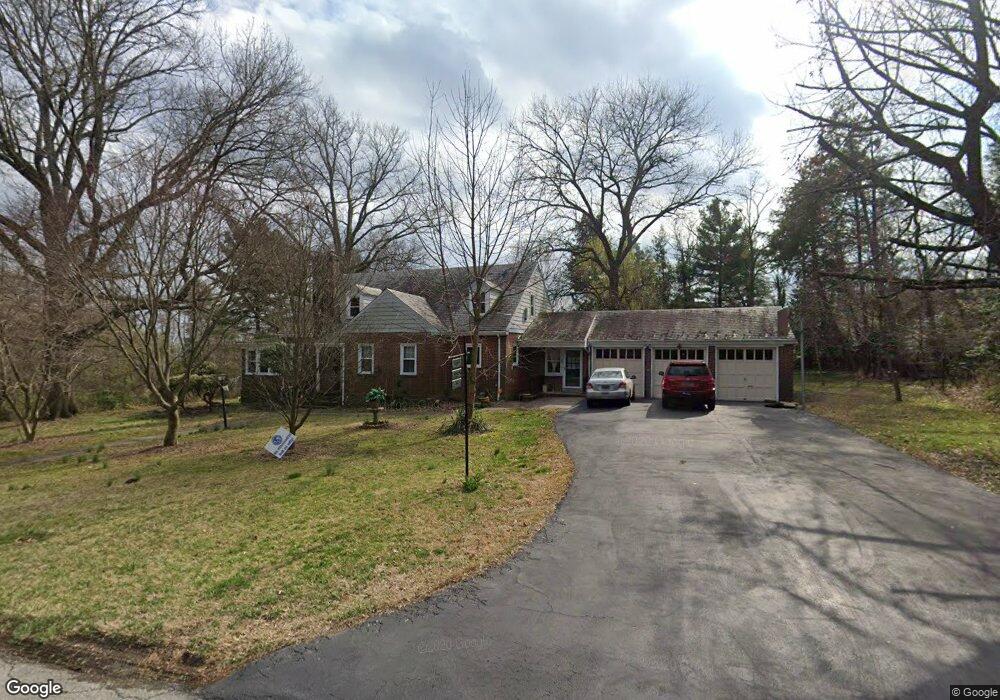
16 Walnut Ln Wilmington, DE 19809
Estimated Value: $450,000 - $583,975
3
Beds
3
Baths
2,134
Sq Ft
$234/Sq Ft
Est. Value
About This Home
This home is located at 16 Walnut Ln, Wilmington, DE 19809 and is currently estimated at $498,744, approximately $233 per square foot. 16 Walnut Ln is a home located in New Castle County with nearby schools including Maple Lane Elementary School, Pierre S. Dupont Middle School, and Mount Pleasant High School.
Ownership History
Date
Name
Owned For
Owner Type
Purchase Details
Closed on
May 25, 2006
Sold by
Helwig Lois J and Helwig Charles R
Bought by
Stout Rupert and Eftekhar Katayoun
Current Estimated Value
Home Financials for this Owner
Home Financials are based on the most recent Mortgage that was taken out on this home.
Original Mortgage
$39,250
Outstanding Balance
$23,140
Interest Rate
6.62%
Mortgage Type
Unknown
Estimated Equity
$475,604
Create a Home Valuation Report for This Property
The Home Valuation Report is an in-depth analysis detailing your home's value as well as a comparison with similar homes in the area
Home Values in the Area
Average Home Value in this Area
Purchase History
| Date | Buyer | Sale Price | Title Company |
|---|---|---|---|
| Stout Rupert | $392,500 | None Available |
Source: Public Records
Mortgage History
| Date | Status | Borrower | Loan Amount |
|---|---|---|---|
| Open | Stout Rupert | $39,250 | |
| Open | Stout Rupert | $314,000 |
Source: Public Records
Tax History
| Year | Tax Paid | Tax Assessment Tax Assessment Total Assessment is a certain percentage of the fair market value that is determined by local assessors to be the total taxable value of land and additions on the property. | Land | Improvement |
|---|---|---|---|---|
| 2024 | $3,387 | $89,000 | $14,800 | $74,200 |
| 2023 | $3,096 | $89,000 | $14,800 | $74,200 |
| 2022 | $3,148 | $89,000 | $14,800 | $74,200 |
| 2021 | $3,148 | $89,000 | $14,800 | $74,200 |
| 2020 | $2,770 | $78,300 | $14,800 | $63,500 |
| 2019 | $3,011 | $78,300 | $14,800 | $63,500 |
| 2018 | $2,647 | $78,300 | $14,800 | $63,500 |
| 2017 | $2,606 | $78,300 | $14,800 | $63,500 |
| 2016 | $2,605 | $78,300 | $14,800 | $63,500 |
| 2015 | $2,396 | $78,300 | $14,800 | $63,500 |
| 2014 | $2,395 | $78,300 | $14,800 | $63,500 |
Source: Public Records
Map
Nearby Homes
- 6 Aldee Ln
- 8 Garrett Rd
- 400 W Holly Oak Rd
- 201 Clayton Ave
- 805 Woodsdale Rd
- 305 W Delaware Ave
- 512 Eskridge Dr
- 0 Bell Hill Rd
- 707 Parkside Blvd
- 7 Hillside Rd
- 1302 Stanford Rd
- 814 Naudain Ave
- 2520 Reynolds Ave
- 731 Governor House Cir Unit 74
- 1410 Drake Rd
- 433 Governor House Cir Unit 433
- 1325 Birch Ln
- 331 Governor House Cir Unit 331
- 1425 Bucknell Rd
- 1213 Talley Rd
- 14 Walnut Ln
- 1314 Philadelphia Pike
- 1314 Philadelphia Pike Unit F
- 1314 Philadelphia Pike Unit C
- 1314 Philadelphia Pike Unit A
- 1314 Philadelphia Pike Unit B
- 1314 Philadelphia Pike Unit D
- 1316 Ridge Rd
- 17 Walnut Ln
- 7 Walnut Ln
- 1301 Ridge Rd
- 21 Hesslers Ln
- 10 Walnut Ln
- 5 Walnut Ln
- 1308 Ridge Rd
- 8 Walnut Ln
- 19 Hesslers Ln
- 1401 Ridge Rd
- 8 Hesslers Ln
- 1300 Ridge Rd
Your Personal Tour Guide
Ask me questions while you tour the home.