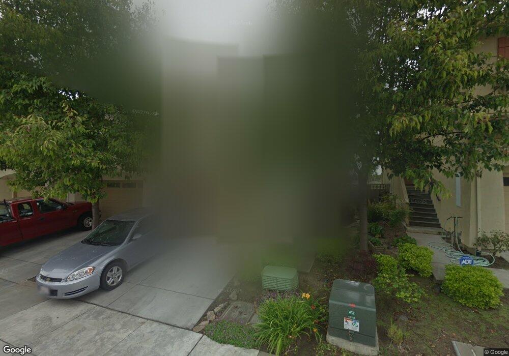
160 Franich Dr Unit Watsonville Watsonville, CA 95076
Estimated Value: $686,475 - $811,000
3
Beds
3
Baths
1,523
Sq Ft
$477/Sq Ft
Est. Value
About This Home
This home is located at 160 Franich Dr Unit Watsonville, Watsonville, CA 95076 and is currently estimated at $726,619, approximately $477 per square foot. 160 Franich Dr Unit Watsonville is a home located in Santa Cruz County with nearby schools including Ann Soldo Elementary School, Lakeview Middle School, and Watsonville High School.
Ownership History
Date
Name
Owned For
Owner Type
Purchase Details
Closed on
Sep 18, 2025
Sold by
Wood Andrew Joseph and Wood Sasha Davis
Bought by
Wood Andrew Joseph
Current Estimated Value
Purchase Details
Closed on
Sep 20, 2019
Sold by
Jordan Danielle
Bought by
Wood Andrew Joseph and Wood Sasha Davis
Home Financials for this Owner
Home Financials are based on the most recent Mortgage that was taken out on this home.
Original Mortgage
$512,535
Interest Rate
3.37%
Mortgage Type
FHA
Purchase Details
Closed on
Apr 9, 2004
Sold by
Clarum Corp
Bought by
Jordan Danielle
Home Financials for this Owner
Home Financials are based on the most recent Mortgage that was taken out on this home.
Original Mortgage
$287,200
Interest Rate
5%
Mortgage Type
Purchase Money Mortgage
Create a Home Valuation Report for This Property
The Home Valuation Report is an in-depth analysis detailing your home's value as well as a comparison with similar homes in the area
Home Values in the Area
Average Home Value in this Area
Purchase History
| Date | Buyer | Sale Price | Title Company |
|---|---|---|---|
| Wood Andrew Joseph | -- | None Listed On Document | |
| Wood Andrew Joseph | $531,000 | First American Title Company | |
| Jordan Danielle | $359,500 | Old Republic Title |
Source: Public Records
Mortgage History
| Date | Status | Borrower | Loan Amount |
|---|---|---|---|
| Previous Owner | Wood Andrew Joseph | $512,535 | |
| Previous Owner | Jordan Danielle | $287,200 |
Source: Public Records
Tax History Compared to Growth
Tax History
| Year | Tax Paid | Tax Assessment Tax Assessment Total Assessment is a certain percentage of the fair market value that is determined by local assessors to be the total taxable value of land and additions on the property. | Land | Improvement |
|---|---|---|---|---|
| 2025 | $7,081 | $580,726 | $319,399 | $261,327 |
| 2023 | $6,968 | $558,176 | $306,997 | $251,179 |
| 2022 | $6,832 | $547,231 | $300,977 | $246,254 |
| 2021 | $6,709 | $536,502 | $295,076 | $241,426 |
| 2020 | $6,625 | $531,000 | $292,050 | $238,950 |
| 2019 | $5,847 | $457,592 | $251,676 | $205,916 |
| 2018 | $5,693 | $448,619 | $246,741 | $201,878 |
| 2017 | $5,635 | $439,823 | $241,902 | $197,921 |
| 2016 | $5,486 | $431,199 | $237,159 | $194,040 |
| 2015 | $5,109 | $395,000 | $237,000 | $158,000 |
| 2014 | $4,007 | $305,000 | $183,000 | $122,000 |
Source: Public Records
Map
Nearby Homes
- 145 Alma St
- 90 Beverly Dr
- 486 Cloudview Dr
- 70 College Rd
- 630 California St
- 401 Spruce Cir
- 443 Tuttle Ave
- 708 Hill Ave
- 763 Delta Way
- 254 Rogers Ave
- 229 Bronson St
- 759 Bronte Ave
- 514 Argos Cir
- 441 Center St
- 67 Roosevelt St
- 176 Crestview Ct
- 932 Lincoln St
- 1060 Sunbird Dr
- 1201 Brewington Ave
- 35 Sycamore St