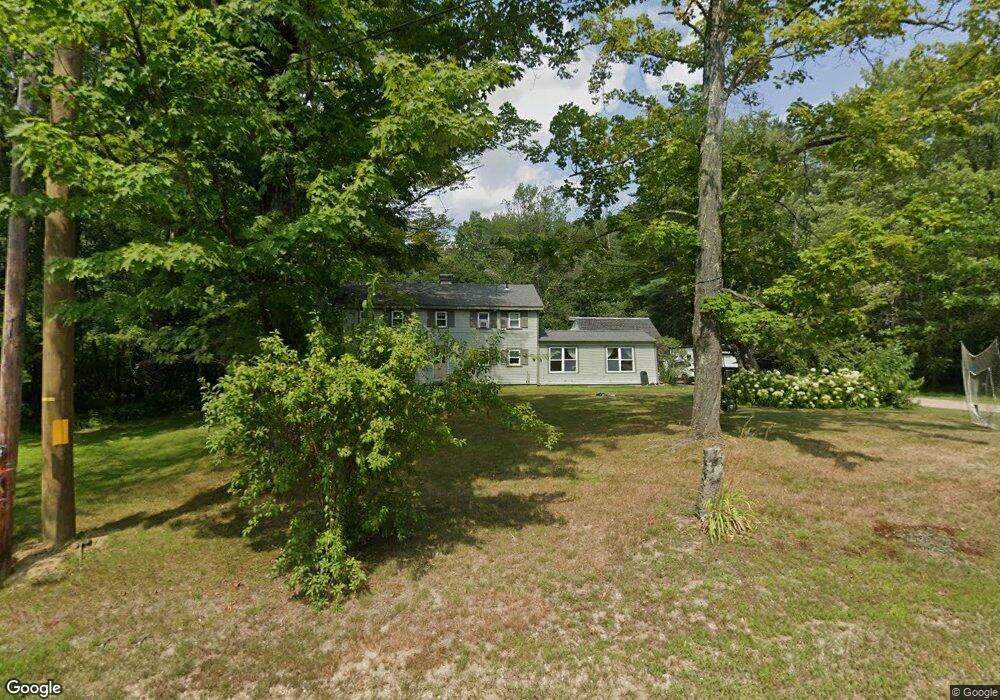
160 Heath Rd Center Conway, NH 03813
Estimated Value: $395,000 - $512,000
3
Beds
2
Baths
1,884
Sq Ft
$249/Sq Ft
Est. Value
About This Home
This home is located at 160 Heath Rd, Center Conway, NH 03813 and is currently estimated at $468,856, approximately $248 per square foot. 160 Heath Rd is a home located in Carroll County with nearby schools including A. Crosby Kennett Middle School, Kennett High School, and Robert Frost Charter School.
Ownership History
Date
Name
Owned For
Owner Type
Purchase Details
Closed on
Jul 29, 1999
Sold by
Hanson Kenneth R and Hanson Elizabeth L
Bought by
Landers Shawn
Current Estimated Value
Home Financials for this Owner
Home Financials are based on the most recent Mortgage that was taken out on this home.
Original Mortgage
$90,250
Interest Rate
7.61%
Create a Home Valuation Report for This Property
The Home Valuation Report is an in-depth analysis detailing your home's value as well as a comparison with similar homes in the area
Home Values in the Area
Average Home Value in this Area
Purchase History
| Date | Buyer | Sale Price | Title Company |
|---|---|---|---|
| Landers Shawn | $95,000 | -- |
Source: Public Records
Mortgage History
| Date | Status | Borrower | Loan Amount |
|---|---|---|---|
| Open | Landers Shawn | $66,000 | |
| Closed | Landers Shawn | $90,250 |
Source: Public Records
Tax History Compared to Growth
Tax History
| Year | Tax Paid | Tax Assessment Tax Assessment Total Assessment is a certain percentage of the fair market value that is determined by local assessors to be the total taxable value of land and additions on the property. | Land | Improvement |
|---|---|---|---|---|
| 2024 | $5,922 | $493,500 | $120,900 | $372,600 |
| 2023 | $5,377 | $498,300 | $120,900 | $377,400 |
| 2022 | $4,241 | $232,500 | $60,300 | $172,200 |
| 2021 | $3,799 | $232,500 | $60,300 | $172,200 |
| 2020 | $4,043 | $232,500 | $60,300 | $172,200 |
| 2019 | $4,027 | $232,500 | $60,300 | $172,200 |
| 2018 | $4,065 | $194,300 | $55,300 | $139,000 |
| 2017 | $3,882 | $194,300 | $55,300 | $139,000 |
| 2016 | $3,752 | $194,300 | $55,300 | $139,000 |
| 2015 | $3,709 | $194,300 | $55,300 | $139,000 |
| 2014 | $3,664 | $194,300 | $55,300 | $139,000 |
| 2013 | $3,533 | $197,800 | $55,300 | $142,500 |
Source: Public Records
Map
Nearby Homes
- 19 Saco St Unit 92
- 19 Saco St Unit 59
- 19 Saco St Unit 58
- 63 Mill St
- 258 Odell Hill Rd
- 00 Stritch Rd Unit 58
- 212 Odell Hill Rd
- 1049 E Main St
- 42 Buckingham Dr
- 33 Longbow Dr
- 357 Lamplighters Park
- 1139 E Conway Rd
- 26 Campfire St
- 357 Lamplighters Dr
- 18 Woodland Grove Rd
- 15 Trailer Ave
- 574 Old Mill Rd
- 27 Firelite Rd
- 0 Bonita's Way Unit 5
- 0 Bonita's Way Unit 20
- 170 Heath Rd
- 147 Heath Rd
- 130 Heath Rd
- 212 Heath Rd
- 99 Heath Rd
- 230 Heath Rd
- 77 Heath Rd
- 226 Heath Rd
- 1211 E Main St
- 1404 E Main St
- 1404 E Main St
- 1456 E Main St
- 24 Fireside Dr
- 133 Robinwood Rd
- 78 Saco Pines Rd Unit 9
- 78 Saco Pines Rd Unit 10
- 78 Saco Pines Rd Unit 3
- 78 Saco Pines Rd
- 46 Fireside Dr
- 127 Robinwood Rd