160 Westbrook Way Eugene, OR 97405
Crest Drive NeighborhoodEstimated Value: $374,000 - $380,535
3
Beds
3
Baths
1,428
Sq Ft
$264/Sq Ft
Est. Value
About This Home
This home is located at 160 Westbrook Way, Eugene, OR 97405 and is currently estimated at $377,384, approximately $264 per square foot. 160 Westbrook Way is a home located in Lane County with nearby schools including Edgewood Community Elementary School, Spencer Butte Middle School, and South Eugene High School.
Ownership History
Date
Name
Owned For
Owner Type
Purchase Details
Closed on
Feb 17, 2026
Sold by
Larry Kenton
Bought by
Larry Kenton Revocable Living Trust and Kenton
Current Estimated Value
Purchase Details
Closed on
Nov 19, 2008
Sold by
Martinez Jody I
Bought by
Kenton Larry
Home Financials for this Owner
Home Financials are based on the most recent Mortgage that was taken out on this home.
Original Mortgage
$151,000
Interest Rate
6.37%
Mortgage Type
Purchase Money Mortgage
Purchase Details
Closed on
Oct 28, 1999
Sold by
Bowman Glen G
Bought by
Kottwitz Doris I and Doris I Kottwitz Revocable Trust
Purchase Details
Closed on
Jan 18, 1999
Sold by
Wormleighton Alison
Bought by
Bowman Glenn F
Home Financials for this Owner
Home Financials are based on the most recent Mortgage that was taken out on this home.
Original Mortgage
$84,000
Interest Rate
6.63%
Purchase Details
Closed on
Jul 17, 1998
Sold by
Moore Frank I and Stewart Charles E Mike
Bought by
Wormleighton Alison
Create a Home Valuation Report for This Property
The Home Valuation Report is an in-depth analysis detailing your home's value as well as a comparison with similar homes in the area
Home Values in the Area
Average Home Value in this Area
Purchase History
| Date | Buyer | Sale Price | Title Company |
|---|---|---|---|
| Larry Kenton Revocable Living Trust | -- | None Listed On Document | |
| Kenton Larry | $215,000 | Cascade Title Co | |
| Kottwitz Doris I | $117,500 | Western Pioneer Title Co | |
| Bowman Glenn F | $112,000 | Cascade Title Co | |
| Wormleighton Alison | -- | -- |
Source: Public Records
Mortgage History
| Date | Status | Borrower | Loan Amount |
|---|---|---|---|
| Previous Owner | Kenton Larry | $151,000 | |
| Previous Owner | Bowman Glenn F | $84,000 | |
| Closed | Bowman Glenn F | $16,800 |
Source: Public Records
Tax History
| Year | Tax Paid | Tax Assessment Tax Assessment Total Assessment is a certain percentage of the fair market value that is determined by local assessors to be the total taxable value of land and additions on the property. | Land | Improvement |
|---|---|---|---|---|
| 2025 | $4,233 | $217,255 | -- | -- |
| 2024 | $4,180 | $210,928 | -- | -- |
| 2023 | $4,180 | $204,785 | -- | -- |
| 2022 | $3,916 | $198,821 | $0 | $0 |
| 2021 | $3,678 | $193,031 | $0 | $0 |
| 2020 | $3,691 | $187,409 | $0 | $0 |
| 2019 | $3,549 | $181,951 | $0 | $0 |
| 2018 | $3,339 | $171,507 | $0 | $0 |
| 2017 | $3,113 | $171,507 | $0 | $0 |
| 2016 | $2,997 | $166,512 | $0 | $0 |
| 2015 | $2,908 | $161,662 | $0 | $0 |
| 2014 | $2,792 | $156,953 | $0 | $0 |
Source: Public Records
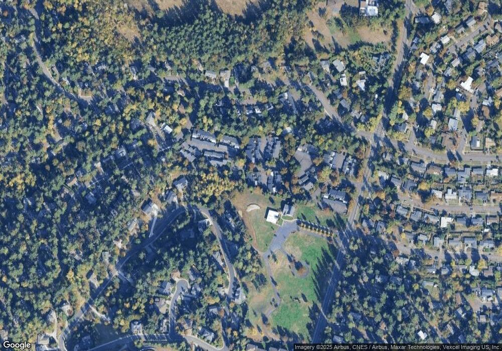
Map
Nearby Homes
- 21 Westbrook Way
- 36 Westbrook Way
- 17 Westbrook Way
- 278 Rockridge Ct
- 143 Treehill Loop Unit 143
- 152 Treehill Loop Unit 152
- 151 Treehill Loop Unit 151
- 395 E 46th Ave
- 4734 Brookwood St
- 422 Stonewood Dr Unit 422
- 418 Stonewood Dr Unit 418
- 223 Trailside Loop Unit 223
- 170 E 40th Ave
- 0 Pine View Ct Unit 758820410
- 653 Brookside Dr
- 784 Brookside Dr
- 4845 Brookwood St
- 320 Dellwood Dr
- 434 E 39th Ave
- 275 E 39th Ave
- 150 Westbrook Way
- 140 Westbrook Way
- 93 Westbrook Way
- 137 Westbrook Way
- 135 Westbrook Way
- 100 Westbrook Way
- 110 Westbrook Way
- 120 Westbrook Way
- 133 Westbrook Way
- 130 Westbrook Way
- 101 Westbrook Way
- 136 Westbrook Way
- 131 Westbrook Way
- 185 Westbrook Way
- 127 Westbrook Way
- 139 Westbrook Way
- 105 Westbrook Way
- 183 Westbrook Way
- 109 Westbrook Way
- 141 Westbrook Way
Your Personal Tour Guide
Ask me questions while you tour the home.