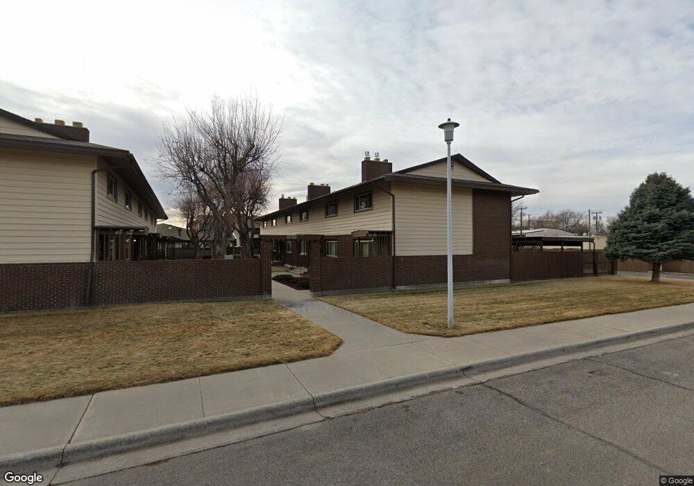
1600 Avenue E Billings, MT 59102
North Central Billings NeighborhoodEstimated Value: $187,000 - $210,332
2
Beds
2
Baths
1,008
Sq Ft
$196/Sq Ft
Est. Value
About This Home
This home is located at 1600 Avenue E, Billings, MT 59102 and is currently estimated at $197,333, approximately $195 per square foot. 1600 Avenue E is a home located in Yellowstone County with nearby schools including Rose Park School, Lewis & Clark Junior High School, and Billings Senior High School.
Ownership History
Date
Name
Owned For
Owner Type
Purchase Details
Closed on
Aug 28, 2019
Sold by
Saddlebrook Invests Llc
Bought by
Caroli Llc
Current Estimated Value
Purchase Details
Closed on
Jun 14, 2016
Sold by
Grizzly Peak Limited Partnership
Bought by
Saddlebrook Investments Llc
Purchase Details
Closed on
Dec 9, 2014
Sold by
Denton Perth Llc
Bought by
Grizzly Peak Limited Partnership
Purchase Details
Closed on
Nov 22, 2013
Sold by
Soren Niels I Llc
Bought by
Denton Perth Llc
Purchase Details
Closed on
Nov 16, 2007
Sold by
Simonsen Stuart M
Bought by
Soren Niels I Llc
Purchase Details
Closed on
May 5, 2007
Sold by
Carlton Bartley G and Carlton Judith R
Bought by
Simonsen Stuart M
Create a Home Valuation Report for This Property
The Home Valuation Report is an in-depth analysis detailing your home's value as well as a comparison with similar homes in the area
Home Values in the Area
Average Home Value in this Area
Purchase History
| Date | Buyer | Sale Price | Title Company |
|---|---|---|---|
| Caroli Llc | -- | First American Title | |
| Saddlebrook Investments Llc | -- | None Available | |
| Grizzly Peak Limited Partnership | -- | Attorney | |
| Denton Perth Llc | -- | None Available | |
| Soren Niels I Llc | -- | None Available | |
| Simonsen Stuart M | -- | None Available |
Source: Public Records
Tax History
| Year | Tax Paid | Tax Assessment Tax Assessment Total Assessment is a certain percentage of the fair market value that is determined by local assessors to be the total taxable value of land and additions on the property. | Land | Improvement |
|---|---|---|---|---|
| 2025 | $1,423 | $206,900 | $8,979 | $197,921 |
| 2024 | $1,423 | $151,700 | $7,311 | $144,389 |
| 2023 | $1,428 | $151,700 | $7,311 | $144,389 |
| 2022 | $1,145 | $121,300 | $0 | $0 |
| 2021 | $1,248 | $121,300 | $0 | $0 |
| 2020 | $1,391 | $130,400 | $0 | $0 |
| 2019 | $1,326 | $130,400 | $0 | $0 |
| 2018 | $1,157 | $110,700 | $0 | $0 |
| 2017 | $1,025 | $110,700 | $0 | $0 |
| 2016 | $1,003 | $99,500 | $0 | $0 |
| 2015 | $981 | $99,500 | $0 | $0 |
| 2014 | $939 | $50,721 | $0 | $0 |
Source: Public Records
Map
Nearby Homes
- 1733 Avenue E
- 1725 Avenue F
- 1745 Parkhill Dr
- 9 Shadow Place
- 56 Shadow Place
- 1322 Avenue F
- 1329 Parkhill Dr
- 1723 Alderson Ave
- 1237 Avenue E
- 1807 S Mariposa Ln
- 1823 Alderson Ave
- 1914 Avenue C
- 1704 Burlington Ave
- 11 Alma Ln
- 1147 18th St W Unit 3
- 2202 13th St W
- 41 Heatherwood Ln
- 1903 Belvedere Dr
- 1400 Poly Dr Unit 4D
- 1833 Iris Ln
Your Personal Tour Guide
Ask me questions while you tour the home.