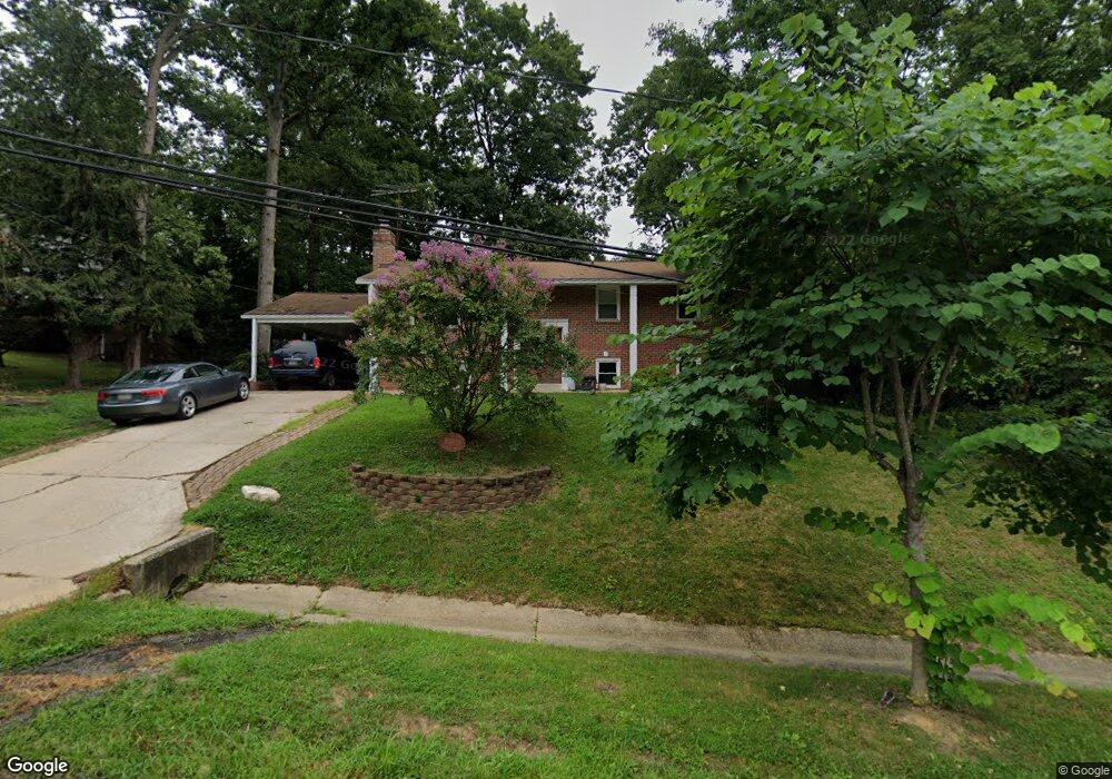
16009 Malcolm Dr Laurel, MD 20707
West Laurel NeighborhoodEstimated Value: $501,165 - $558,000
Studio
2
Baths
1,232
Sq Ft
$426/Sq Ft
Est. Value
About This Home
This home is located at 16009 Malcolm Dr, Laurel, MD 20707 and is currently estimated at $525,041, approximately $426 per square foot. 16009 Malcolm Dr is a home located in Prince George's County with nearby schools including Bond Mill Elementary, Martin Luther King Jr. Middle School, and Laurel High School.
Ownership History
Date
Name
Owned For
Owner Type
Purchase Details
Closed on
Sep 21, 2005
Sold by
Pautienus Robert P
Bought by
Boyd Cheryl A
Current Estimated Value
Home Financials for this Owner
Home Financials are based on the most recent Mortgage that was taken out on this home.
Original Mortgage
$409,500
Outstanding Balance
$217,705
Interest Rate
5.75%
Mortgage Type
Adjustable Rate Mortgage/ARM
Estimated Equity
$307,336
Purchase Details
Closed on
Jul 26, 2005
Sold by
Pautienus Robert P
Bought by
Boyd Cheryl A
Home Financials for this Owner
Home Financials are based on the most recent Mortgage that was taken out on this home.
Original Mortgage
$409,500
Outstanding Balance
$217,705
Interest Rate
5.75%
Mortgage Type
Adjustable Rate Mortgage/ARM
Estimated Equity
$307,336
Purchase Details
Closed on
Jan 23, 1969
Sold by
Supreme Builders
Bought by
Pautienus Robert P and Pautienus Anna M
Create a Home Valuation Report for This Property
The Home Valuation Report is an in-depth analysis detailing your home's value as well as a comparison with similar homes in the area
Home Values in the Area
Average Home Value in this Area
Purchase History
| Date | Buyer | Sale Price | Title Company |
|---|---|---|---|
| Boyd Cheryl A | $455,000 | -- | |
| Boyd Cheryl A | $455,000 | -- | |
| Pautienus Robert P | $32,800 | -- |
Source: Public Records
Mortgage History
| Date | Status | Borrower | Loan Amount |
|---|---|---|---|
| Open | Boyd Cheryl A | $409,500 | |
| Previous Owner | Boyd Cheryl A | $409,500 |
Source: Public Records
Tax History Compared to Growth
Tax History
| Year | Tax Paid | Tax Assessment Tax Assessment Total Assessment is a certain percentage of the fair market value that is determined by local assessors to be the total taxable value of land and additions on the property. | Land | Improvement |
|---|---|---|---|---|
| 2025 | $6,320 | $411,600 | $123,400 | $288,200 |
| 2024 | $6,320 | $408,067 | -- | -- |
| 2023 | $6,187 | $404,533 | $0 | $0 |
| 2022 | $5,988 | $401,000 | $103,400 | $297,600 |
| 2021 | $5,759 | $389,600 | $0 | $0 |
| 2020 | $5,669 | $378,200 | $0 | $0 |
| 2019 | $5,546 | $366,800 | $101,700 | $265,100 |
| 2018 | $5,376 | $351,933 | $0 | $0 |
| 2017 | $5,240 | $337,067 | $0 | $0 |
| 2016 | -- | $322,200 | $0 | $0 |
| 2015 | $4,664 | $317,200 | $0 | $0 |
| 2014 | $4,664 | $312,200 | $0 | $0 |
Source: Public Records
Map
Nearby Homes
- 7018 Redmiles Rd
- 7019 Redmiles Rd
- 16140 Kenny Rd
- 7106 Donston Dr
- 7019 Fitzpatrick Dr
- 7004 Fitzpatrick Dr
- 7209 Brooklyn Bridge Rd
- 15708 Dorset Rd Unit 203
- 15708 Dorset Rd Unit 304
- 15708 Dorset Rd Unit 202
- 7616 Woodbine Dr
- 6918 Scotch Dr
- 15603 Dorset Rd Unit 101
- 16035 Dorset Rd
- 15743 Millbrook Ln
- 7709 Brooklyn Bridge Rd
- 6304 Forest Mill Ln
- 15781 Haynes Rd
- 6406 Sandy St
- 7651 E Arbory Ct
- 16005 Malcolm Dr
- 16013 Malcolm Dr
- 16100 Kenny Ct
- 16102 Kenny Ct
- 7100 Redmiles Rd
- 16017 Malcolm Dr
- 16101 Kenny Ct
- 16006 Malcolm Dr
- 7106 Redmiles Rd
- 7020 Redmiles Rd
- 16012 Malcolm Dr
- 16104 Kenny Ct
- 16113 Kenny Rd
- 16115 Kenny Rd
- 16103 Kenny Ct
- 7110 Redmiles Rd
- 16109 Kenny Rd
- 16117 Kenny Rd
- 16119 Kenny Rd
- 16105 Kenny Ct