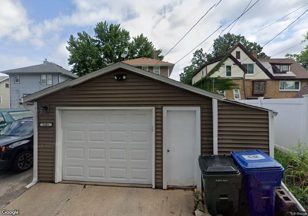
1601 E High St Davenport, IA 52803
Near North Side NeighborhoodEstimated Value: $128,000 - $137,000
3
Beds
1
Bath
1,056
Sq Ft
$127/Sq Ft
Est. Value
About This Home
This home is located at 1601 E High St, Davenport, IA 52803 and is currently estimated at $134,022, approximately $126 per square foot. 1601 E High St is a home located in Scott County with nearby schools including Garfield Elementary School, Sudlow Intermediate School, and Central High School.
Ownership History
Date
Name
Owned For
Owner Type
Purchase Details
Closed on
Oct 26, 2017
Sold by
Ball Michael Jack and Ball Michael J
Bought by
Ball Michael J and Ball Margaret M
Current Estimated Value
Create a Home Valuation Report for This Property
The Home Valuation Report is an in-depth analysis detailing your home's value as well as a comparison with similar homes in the area
Home Values in the Area
Average Home Value in this Area
Purchase History
| Date | Buyer | Sale Price | Title Company |
|---|---|---|---|
| Ball Michael J | -- | None Available |
Source: Public Records
Tax History
| Year | Tax Paid | Tax Assessment Tax Assessment Total Assessment is a certain percentage of the fair market value that is determined by local assessors to be the total taxable value of land and additions on the property. | Land | Improvement |
|---|---|---|---|---|
| 2025 | $1,668 | $115,620 | $19,360 | $96,260 |
| 2024 | $1,624 | $103,590 | $19,360 | $84,230 |
| 2023 | $2,030 | $103,590 | $19,360 | $84,230 |
| 2022 | $2,038 | $103,960 | $17,600 | $86,360 |
| 2021 | $2,038 | $103,960 | $17,600 | $86,360 |
| 2020 | $1,842 | $93,630 | $17,600 | $76,030 |
| 2019 | $2,002 | $91,420 | $17,600 | $73,820 |
| 2018 | $813 | $91,420 | $17,600 | $73,820 |
| 2017 | $508 | $91,420 | $17,600 | $73,820 |
| 2016 | $2,093 | $78,730 | $0 | $0 |
| 2015 | $1,534 | $79,700 | $0 | $0 |
| 2014 | $1,576 | $79,700 | $0 | $0 |
| 2013 | $1,544 | $0 | $0 | $0 |
| 2012 | -- | $80,620 | $14,540 | $66,080 |
Source: Public Records
Map
Nearby Homes
- 2111 Mississippi Ave
- 2125 Eastern Ave
- 1626 Esplanade Ave
- 1616 Esplanade Ave
- 1730 E Rusholme St
- 2003 E Rusholme St
- 2103 E Lombard St
- 2107 E Locust St
- 2109 E Locust St
- 2134 E Locust St
- 1920 Carey Ave
- 1325 Mississippi Ave
- 1816 Belle Ave
- 2304 Elm St
- 2618 Esplanade Ave
- 1504 Christie St
- 1815 Belle Ave
- 1803 Belle Ave
- 2334 Elm St
- 11 Oak Ln
- 1525 E High St
- 1603 E High St
- 1603 E Hight St
- 1521 E High St
- 1611 E High St
- 1524 E Pleasant St
- 1608 E Pleasant St
- 1511 E High St
- 1617 E High St
- 1518 E Pleasant St
- 1514 E Pleasant St
- 1509 E High St
- 1618 E Pleasant St
- 1602 E High St
- 1623 E High St
- 1526 E High St
- 1606 E High St
- 1522 E High St
- 1508 E Pleasant St
- 1616 E High St
Your Personal Tour Guide
Ask me questions while you tour the home.