Estimated Value: $220,000 - $245,000
3
Beds
2
Baths
1,540
Sq Ft
$150/Sq Ft
Est. Value
About This Home
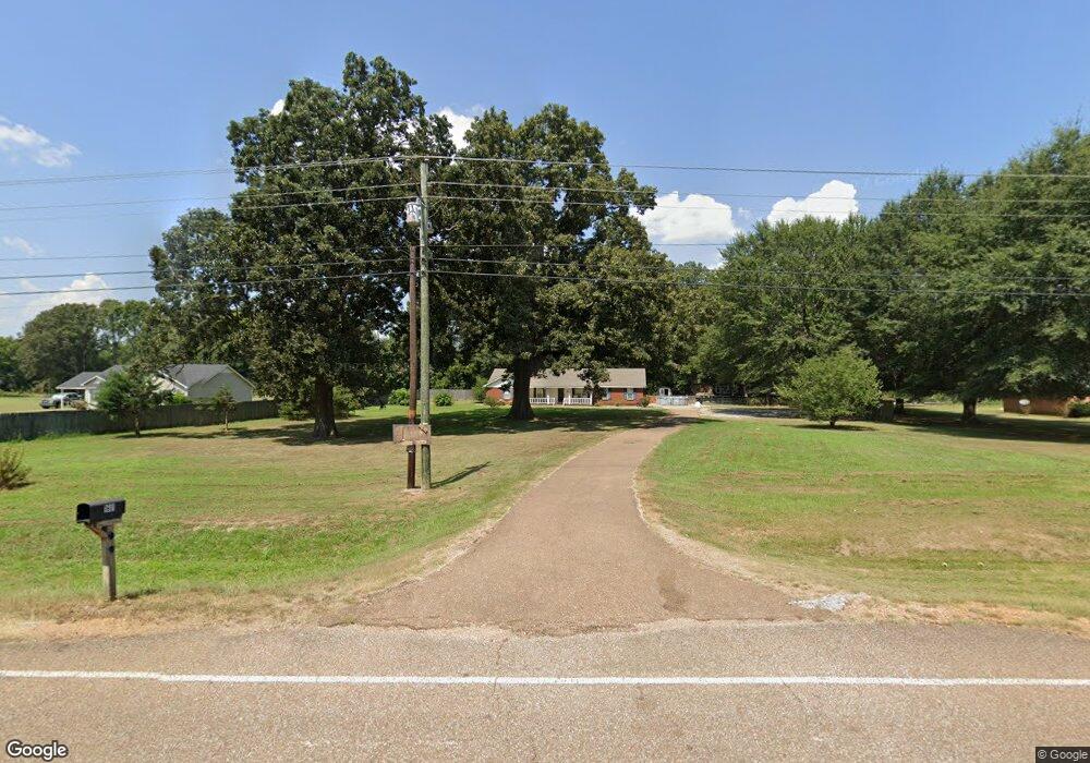
This home is located at 1601 Highway 4 W Unit 4, Sarah, MS 38665 and is currently estimated at $230,659, approximately $149 per square foot. 1601 Highway 4 W Unit 4 is a home located in Tate County with nearby schools including Strayhorn Elementary School and Strayhorn High School.
Ownership History
Date
Name
Owned For
Owner Type
Purchase Details
Closed on
Feb 27, 2007
Sold by
Reynolds Alreta
Bought by
Johnson Raymond and Johnson Lisa
Current Estimated Value
Home Financials for this Owner
Home Financials are based on the most recent Mortgage that was taken out on this home.
Original Mortgage
$35,125
Interest Rate
6.3%
Purchase Details
Closed on
Sep 1, 2005
Sold by
Henderson Paul
Bought by
Lane Michael P and Wrenn Rachel D
Home Financials for this Owner
Home Financials are based on the most recent Mortgage that was taken out on this home.
Original Mortgage
$109,725
Interest Rate
5.77%
Create a Home Valuation Report for This Property
The Home Valuation Report is an in-depth analysis detailing your home's value as well as a comparison with similar homes in the area
Home Values in the Area
Average Home Value in this Area
Purchase History
| Date | Buyer | Sale Price | Title Company |
|---|---|---|---|
| Johnson Raymond | -- | -- | |
| Lane Michael P | -- | -- |
Source: Public Records
Mortgage History
| Date | Status | Borrower | Loan Amount |
|---|---|---|---|
| Closed | Johnson Raymond | $35,125 | |
| Open | Johnson Raymond | $105,375 | |
| Previous Owner | Lane Michael P | $109,725 |
Source: Public Records
Tax History Compared to Growth
Tax History
| Year | Tax Paid | Tax Assessment Tax Assessment Total Assessment is a certain percentage of the fair market value that is determined by local assessors to be the total taxable value of land and additions on the property. | Land | Improvement |
|---|---|---|---|---|
| 2024 | $1,060 | $10,090 | $1,500 | $8,590 |
| 2023 | $1,060 | $10,090 | $1,500 | $8,590 |
| 2022 | $1,031 | $10,090 | $1,500 | $8,590 |
| 2021 | $1,080 | $10,090 | $1,500 | $8,590 |
| 2020 | $1,153 | $9,969 | $1,500 | $8,469 |
| 2019 | $1,207 | $9,969 | $1,500 | $8,469 |
| 2018 | $1,220 | $9,969 | $1,500 | $8,469 |
| 2017 | $1,220 | $9,969 | $1,500 | $8,469 |
| 2016 | $1,203 | $9,722 | $1,500 | $8,222 |
| 2015 | -- | $9,722 | $1,500 | $8,222 |
| 2014 | -- | $9,722 | $1,500 | $8,222 |
| 2013 | -- | $9,722 | $1,500 | $8,222 |
Source: Public Records
Map
Nearby Homes
- 549 Ridge Rd
- 1769 Flag Lake Rd
- 0 Mcmaster Rd Unit 4117335
- 0 Mcmaster Rd Unit 4108234
- 1181 Egypt Creek Rd
- 3550 Highway 3
- 247 Sandy Branch Rd
- 0 Hogfoot Rd Unit 161529
- 0 Hogfoot Rd Unit 4124103
- 0 Browns Ferry Rd
- 15944 Browns Ferry Rd
- 721 Brownlee Rd
- 283 Aaron Rd
- 513 Brownlee Rd
- 368 Magnolia Cir
- 0 Magnolia Cir Unit 4117002
- 0 Magnolia Cir Unit 4117000
- 165 Christian College Rd
- 4315 N Crockett Rd
- 0 Savage Loop
- 1601 Highway 4 W
- 1575 Highway 4 W
- 1575 Highway 4 W
- 1575 Highway Unit 4
- 1615 Highway 4 W
- 1555 Highway 4 W
- 1555 Highway 4 W
- 1555 Highway 4 W
- 1635 Highway 4 W
- 1531 Highway 4 W
- 1590 Highway 4 W
- 1536 Highway 4 W
- 0 Highway Unit 3 2225077
- 0 Highway Unit 4 2210763
- 0 Highway Unit 3 2283067
- 0 Highway Unit 3 2212292
- 0 Highway Unit 2080942
- 0 Highway Unit 2283067
- 70 W Mathews Bend
- 1505 Highway 4 W