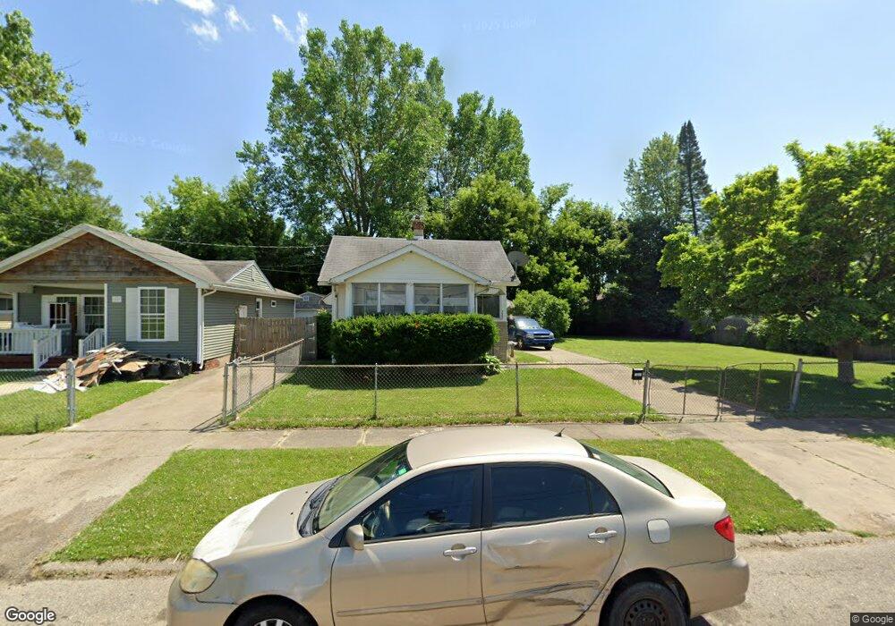
1601 Lincoln Ave Flint, MI 48507
South Side NeighborhoodEstimated Value: $48,000 - $55,000
2
Beds
1
Bath
660
Sq Ft
$77/Sq Ft
Est. Value
About This Home
This home is located at 1601 Lincoln Ave, Flint, MI 48507 and is currently estimated at $51,028, approximately $77 per square foot. 1601 Lincoln Ave is a home located in Genesee County with nearby schools including Neithercut Elementary School, Flint Southwestern Classical Academy, and International Academy of Flint (K-12).
Ownership History
Date
Name
Owned For
Owner Type
Purchase Details
Closed on
Oct 28, 2010
Sold by
Smith Kevin and Smith Amanda
Bought by
Psr Property Holdings Llc
Current Estimated Value
Purchase Details
Closed on
Sep 22, 2006
Sold by
Jpmorgan Chase Bank Na
Bought by
Federal National Mortgage Association
Purchase Details
Closed on
Sep 13, 2006
Sold by
White Charles R and White Pamela J
Bought by
Jpmorgan Chase Bank Na
Purchase Details
Closed on
Nov 15, 1999
Sold by
Elder Byron Dewayne and Elder Connie I
Bought by
White Charles R and White Pamela J
Home Financials for this Owner
Home Financials are based on the most recent Mortgage that was taken out on this home.
Original Mortgage
$33,700
Interest Rate
7.97%
Mortgage Type
Purchase Money Mortgage
Create a Home Valuation Report for This Property
The Home Valuation Report is an in-depth analysis detailing your home's value as well as a comparison with similar homes in the area
Home Values in the Area
Average Home Value in this Area
Purchase History
| Date | Buyer | Sale Price | Title Company |
|---|---|---|---|
| Psr Property Holdings Llc | $170,000 | Cislo Title Co | |
| Federal National Mortgage Association | -- | None Available | |
| Jpmorgan Chase Bank Na | $28,000 | None Available | |
| White Charles R | $35,000 | Centennial Title & Abstract |
Source: Public Records
Mortgage History
| Date | Status | Borrower | Loan Amount |
|---|---|---|---|
| Previous Owner | White Charles R | $33,700 |
Source: Public Records
Tax History Compared to Growth
Tax History
| Year | Tax Paid | Tax Assessment Tax Assessment Total Assessment is a certain percentage of the fair market value that is determined by local assessors to be the total taxable value of land and additions on the property. | Land | Improvement |
|---|---|---|---|---|
| 2025 | $983 | $16,400 | $0 | $0 |
| 2024 | $914 | $16,600 | $0 | $0 |
| 2023 | $896 | $14,000 | $0 | $0 |
| 2022 | $0 | $11,800 | $0 | $0 |
| 2021 | $906 | $10,500 | $0 | $0 |
| 2020 | $838 | $8,700 | $0 | $0 |
| 2019 | $883 | $9,500 | $0 | $0 |
| 2018 | $884 | $9,500 | $0 | $0 |
| 2017 | $943 | $0 | $0 | $0 |
| 2016 | $937 | $0 | $0 | $0 |
| 2015 | -- | $0 | $0 | $0 |
| 2014 | -- | $0 | $0 | $0 |
| 2012 | -- | $14,000 | $0 | $0 |
Source: Public Records
Map
Nearby Homes
- 1523 Waldman Ave
- 1741 Carmanbrook Pkwy
- 1814 Carmanbrook Pkwy
- 1410 Berrywood Ln
- 1225 Waldman Ave
- 1902 Crestbrook Ln
- 1225 Vermilya Ave
- 1727 Briarwood Dr
- 1209 Lincoln Ave
- 1418 Blueberry Ln
- 1228 Leland St
- 1130 W Atherton Rd
- 2107 Stoney Brook Ct
- 1212 Crawford St
- 4101 Greenbrook Ln
- 1826 Greenbrook Ln
- 1310 Huron St
- 1028 Campbell St
- 1234 Huron St
- 1318 Ingleside Ave
- 1537 Lincoln Ave
- 1533 Lincoln Ave
- 1609 Lincoln Ave
- 1602 Pettibone Ave
- 1606 Pettibone Ave
- 1529 Lincoln Ave
- 1536 Pettibone Ave
- 1610 Pettibone Ave
- 1613 Lincoln Ave
- 1532 Pettibone Ave
- 1614 Pettibone Ave
- 1525 Lincoln Ave
- 1617 Lincoln Ave
- 1528 Pettibone Ave
- 1618 Pettibone Ave
- 1521 Lincoln Ave
- 1621 Lincoln Ave
- 1524 Pettibone Ave
- 1622 Pettibone Ave
- 1519 Lincoln Ave