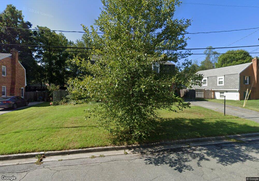
16013 Jerald Rd Laurel, MD 20707
West Laurel NeighborhoodEstimated Value: $479,600 - $549,000
Studio
3
Baths
1,886
Sq Ft
$277/Sq Ft
Est. Value
About This Home
This home is located at 16013 Jerald Rd, Laurel, MD 20707 and is currently estimated at $522,900, approximately $277 per square foot. 16013 Jerald Rd is a home located in Prince George's County with nearby schools including Bond Mill Elementary, Martin Luther King Jr. Middle School, and Laurel High School.
Ownership History
Date
Name
Owned For
Owner Type
Purchase Details
Closed on
Jan 30, 1998
Sold by
Dustin Robin L
Bought by
Stringer Richard A and Stringer Marlene G
Current Estimated Value
Purchase Details
Closed on
Mar 24, 1994
Sold by
Geraci Catherine J
Bought by
Dustin Robin L
Home Financials for this Owner
Home Financials are based on the most recent Mortgage that was taken out on this home.
Original Mortgage
$66,950
Interest Rate
7.15%
Create a Home Valuation Report for This Property
The Home Valuation Report is an in-depth analysis detailing your home's value as well as a comparison with similar homes in the area
Home Values in the Area
Average Home Value in this Area
Purchase History
| Date | Buyer | Sale Price | Title Company |
|---|---|---|---|
| Stringer Richard A | $180,000 | -- | |
| Dustin Robin L | $161,000 | -- |
Source: Public Records
Mortgage History
| Date | Status | Borrower | Loan Amount |
|---|---|---|---|
| Previous Owner | Dustin Robin L | $66,950 |
Source: Public Records
Tax History
| Year | Tax Paid | Tax Assessment Tax Assessment Total Assessment is a certain percentage of the fair market value that is determined by local assessors to be the total taxable value of land and additions on the property. | Land | Improvement |
|---|---|---|---|---|
| 2025 | $5,483 | $463,600 | $126,300 | $337,300 |
| 2024 | $5,483 | $435,100 | -- | -- |
| 2023 | $4,521 | $406,600 | $0 | $0 |
| 2022 | $4,204 | $378,100 | $101,300 | $276,800 |
| 2021 | $9,780 | $367,233 | $0 | $0 |
| 2020 | $9,438 | $356,367 | $0 | $0 |
| 2019 | $4,948 | $345,500 | $100,600 | $244,900 |
| 2018 | $4,460 | $337,667 | $0 | $0 |
| 2017 | $4,355 | $329,833 | $0 | $0 |
| 2016 | -- | $322,000 | $0 | $0 |
| 2015 | $3,786 | $310,733 | $0 | $0 |
| 2014 | $3,786 | $299,467 | $0 | $0 |
Source: Public Records
Map
Nearby Homes
- 6003 Windham Rd
- 6201 Goodman Rd
- 14005 Barkham Ct
- 15611 Riding Stable Rd
- 7004 Fitzpatrick Dr
- 6918 Scotch Dr
- 7019 Fitzpatrick Dr
- 7002 Scotch Dr
- 7106 Donston Dr
- 16140 Kenny Rd
- 7209 Brooklyn Bridge Rd
- 15712 Dorset Rd Unit 104
- 15708 Dorset Rd Unit 202
- 4402 Regalwood Terrace
- 15706 Dorset Rd Unit 102
- 4302 Regalwood Terrace
- 14706 Saddle Creek Dr
- 15603 Dorset Rd Unit 101
- 1012 Flester Ln
- 1016 Flester Ln
- 16015 Jerald Rd
- 16011 Jerald Rd
- 16001 Jerald Ct
- 16017 Jerald Rd
- 16014 Jerald Rd
- 16016 Jerald Rd
- 6012 Parkway Dr
- 16000 Jerald Ct
- 16012 Jerald Rd
- 16019 Jerald Rd
- 16009 Jerald Rd
- 6010 Parkway Dr
- 6100 Parkway Dr
- 16002 Jerald Ct
- 16010 Jerald Rd
- 16018 Jerald Rd
- 6008 Parkway Dr
- 16021 Jerald Rd
- 6102 Parkway Dr
- 16007 Jerald Rd
Your Personal Tour Guide
Ask me questions while you tour the home.