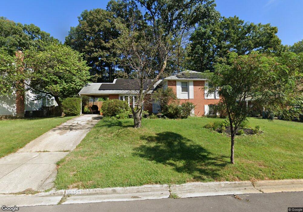
16026 Jerald Rd Laurel, MD 20707
West Laurel NeighborhoodEstimated Value: $495,118 - $575,000
About This Home
This home is located at 16026 Jerald Rd, Laurel, MD 20707 and is currently estimated at $550,780, approximately $230 per square foot. 16026 Jerald Rd is a home located in Prince George's County with nearby schools including Bond Mill Elementary, Martin Luther King Jr. Middle School, and Laurel High School.
Ownership History
We collect this data history from publicly available records. To have your information removed, we recommend requesting removal directly through your county’s website.
Purchase Details
Home Financials for this Owner
Home Financials are based on the most recent Mortgage that was taken out on this home.Purchase Details
Home Financials for this Owner
Home Financials are based on the most recent Mortgage that was taken out on this home.Purchase Details
Home Values in the Area
Average Home Value in this Area
Purchase History
We collect this data history from publicly available records. To have your information removed, we recommend requesting removal directly through your county’s website.
| Date | Buyer | Sale Price | Title Company |
|---|---|---|---|
| -- | None Available | ||
| $365,000 | First American Title Ins Co | ||
| $15,000 | -- |
Mortgage History
We collect this data history from publicly available records. To have your information removed, we recommend requesting removal directly through your county’s website.
| Date | Status | Borrower | Loan Amount |
|---|---|---|---|
| Open | $40,000 | ||
| Open | $357,000 | ||
| Closed | $328,500 | ||
| Closed | $150,000 |
Tax History
We collect this data history from publicly available records. To have your information removed, we recommend requesting removal directly through your county’s website.
| Year | Tax Paid | Tax Assessment Tax Assessment Total Assessment is a certain percentage of the fair market value that is determined by local assessors to be the total taxable value of land and additions on the property. | Land | Improvement |
|---|---|---|---|---|
| 2025 | $6,211 | $435,400 | $126,100 | $309,300 |
| 2024 | $6,211 | $408,933 | ||
| 2023 | $5,970 | $382,467 | $0 | $0 |
| 2022 | $5,664 | $356,000 | $101,100 | $254,900 |
| 2021 | $5,474 | $351,467 | $0 | $0 |
| 2020 | $5,419 | $346,933 | $0 | $0 |
| 2019 | $5,331 | $342,400 | $100,500 | $241,900 |
| 2018 | $5,388 | $330,967 | $0 | $0 |
| 2017 | $5,063 | $319,533 | $0 | $0 |
| 2016 | -- | $308,100 | $0 | $0 |
| 2015 | $3,697 | $297,600 | $0 | $0 |
| 2014 | $3,697 | $287,100 | $0 | $0 |
Map
- 15605 Bond Mill Rd
- 16098 Gales St
- 16308 Gales St
- 6306 Sandy St
- 6504 Walker Branch Dr
- 15405 Bounds Ave
- 6806 Diploma Dr
- 6707 Sandy View Ct
- 15800 Kerr Rd
- 16704 Goldsborough Ave
- 7012 Redmiles Rd
- 7001 Marmick Place
- 6942 Scotch Dr
- 6920 Scotch Dr
- 6918 Scotch Dr
- 6925 Scotch Dr
- 7106 Donston Dr
- 7209 Brooklyn Bridge Rd
- 15830 Deer Creek Ct
- 7205 Split Rail Ln
- 16024 Jerald Rd
- 16022 Jerald Rd
- 16100 Roblynn Ct
- 16101 Roblynn Ct
- 16028 Jerald Rd
- 16020 Jerald Rd
- 16025 Jerald Rd
- 16023 Jerald Rd
- 16027 Jerald Rd
- 6215 Roblynn Rd
- 16018 Jerald Rd
- 16030 Jerald Rd
- 16021 Jerald Rd
- 16029 Jerald Rd
- 16103 Roblynn Ct
- 6213 Roblynn Rd
- 6223 Roblynn Rd
- 16019 Jerald Rd
- 16031 Jerald Rd
- 16016 Jerald Rd
Ask me questions while you tour the home.