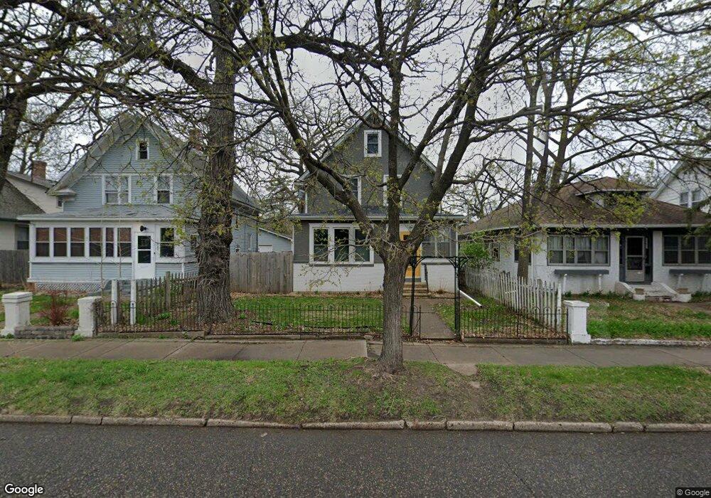
1603 1603 7th-Street-w St. Paul, MN 55102
West Seventh NeighborhoodEstimated Value: $300,868 - $367,000
3
Beds
2
Baths
1,948
Sq Ft
$170/Sq Ft
Est. Value
About This Home
This home is located at 1603 1603 7th-Street-w, St. Paul, MN 55102 and is currently estimated at $331,717, approximately $170 per square foot. 1603 1603 7th-Street-w is a home located in Ramsey County with nearby schools including Expo for Excellence Elementary School, Highland Park Middle School, and Highland Park Senior High.
Ownership History
Date
Name
Owned For
Owner Type
Purchase Details
Closed on
Nov 29, 2016
Sold by
Sundberg James and Sundberg Jeanine
Bought by
Coleman Will J and Coleman Laura E
Current Estimated Value
Home Financials for this Owner
Home Financials are based on the most recent Mortgage that was taken out on this home.
Original Mortgage
$187,150
Outstanding Balance
$151,120
Interest Rate
3.52%
Mortgage Type
New Conventional
Estimated Equity
$180,597
Purchase Details
Closed on
Jun 19, 2009
Sold by
The Bank Of New York
Bought by
Sundberg James
Purchase Details
Closed on
Dec 30, 1996
Sold by
Sherwood Robert D and Sherwood Carolyn Ann
Bought by
Rodriques Amilcar A and Rodriques Ana Y
Create a Home Valuation Report for This Property
The Home Valuation Report is an in-depth analysis detailing your home's value as well as a comparison with similar homes in the area
Home Values in the Area
Average Home Value in this Area
Purchase History
| Date | Buyer | Sale Price | Title Company |
|---|---|---|---|
| Coleman Will J | $202,969 | Burnet Title | |
| Sundberg James | $45,000 | -- | |
| Rodriques Amilcar A | $72,000 | -- |
Source: Public Records
Mortgage History
| Date | Status | Borrower | Loan Amount |
|---|---|---|---|
| Open | Coleman Will J | $187,150 |
Source: Public Records
Tax History Compared to Growth
Tax History
| Year | Tax Paid | Tax Assessment Tax Assessment Total Assessment is a certain percentage of the fair market value that is determined by local assessors to be the total taxable value of land and additions on the property. | Land | Improvement |
|---|---|---|---|---|
| 2025 | $3,562 | $273,400 | $32,000 | $241,400 |
| 2023 | $3,562 | $239,500 | $32,000 | $207,500 |
| 2022 | $3,140 | $212,200 | $32,000 | $180,200 |
| 2021 | $3,372 | $207,400 | $32,000 | $175,400 |
| 2020 | $3,186 | $228,200 | $23,100 | $205,100 |
| 2019 | $2,990 | $203,900 | $23,100 | $180,800 |
| 2018 | $2,648 | $190,600 | $23,100 | $167,500 |
| 2017 | $2,270 | $176,600 | $23,100 | $153,500 |
| 2016 | $2,464 | $0 | $0 | $0 |
| 2015 | $2,228 | $146,400 | $15,700 | $130,700 |
| 2014 | $2,126 | $0 | $0 | $0 |
Source: Public Records
Map
Nearby Homes
- 1030 Otto Ave
- 1071 Otto Ave
- 925 Otto Ave
- 791 Lexington Pkwy S
- 1368 Pleasant Ave
- 1485 Edgcumbe Rd
- 1205 Eleanor Ave
- 576 Lexington Pkwy S
- 1271 - 1273 7th St W
- 1619 Edgcumbe Rd
- 850 Syndicate St S
- 633 Griggs St S
- 528 Lexington Pkwy S
- 555 Montcalm Place
- 751 Butternut Ave
- 958 James Ave
- 1129 Randolph Ave
- 1145 Randolph Ave
- 1001 James Ave
- 1368 Eleanor Ave