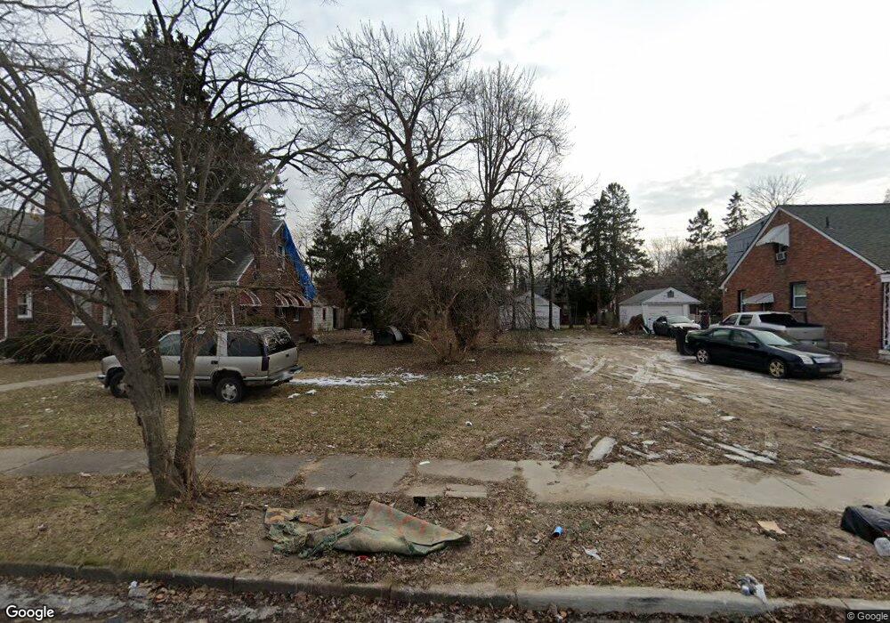
16044 Fordham St Detroit, MI 48205
Maple Ridge NeighborhoodEstimated Value: $34,528 - $87,000
3
Beds
1
Bath
780
Sq Ft
$82/Sq Ft
Est. Value
About This Home
This home is located at 16044 Fordham St, Detroit, MI 48205 and is currently estimated at $63,632, approximately $81 per square foot. 16044 Fordham St is a home located in Wayne County with nearby schools including Edward 'Duke' Ellington Conservatory of Music and Art, Charles L. Spain Elementary-Middle School, and Denby High School.
Ownership History
Date
Name
Owned For
Owner Type
Purchase Details
Closed on
Nov 23, 2021
Sold by
Detroit Land Bank Authority
Bought by
Whiting Edward
Current Estimated Value
Purchase Details
Closed on
Jan 13, 2016
Sold by
Wayne County Treasurer
Bought by
Detroit Land Bank Authority
Purchase Details
Closed on
Dec 10, 2008
Sold by
Hsbc Bank Usa Na
Bought by
Paramount Land Holdings Llc
Purchase Details
Closed on
Mar 6, 2008
Sold by
Martin Keyotta
Bought by
Hsbc Bank Usa Na and Ace Securities Corp Home Equity Loan Tru
Purchase Details
Closed on
Jun 5, 2006
Sold by
Kenward Doreen H
Bought by
Taul Darrell
Create a Home Valuation Report for This Property
The Home Valuation Report is an in-depth analysis detailing your home's value as well as a comparison with similar homes in the area
Home Values in the Area
Average Home Value in this Area
Purchase History
| Date | Buyer | Sale Price | Title Company |
|---|---|---|---|
| Whiting Edward | -- | None Available | |
| Detroit Land Bank Authority | -- | None Available | |
| Paramount Land Holdings Llc | -- | None Available | |
| Hsbc Bank Usa Na | $78,683 | None Available | |
| Taul Darrell | $25,000 | Enterprise Title Solutions |
Source: Public Records
Tax History Compared to Growth
Tax History
| Year | Tax Paid | Tax Assessment Tax Assessment Total Assessment is a certain percentage of the fair market value that is determined by local assessors to be the total taxable value of land and additions on the property. | Land | Improvement |
|---|---|---|---|---|
| 2025 | $38 | $1,200 | $0 | $0 |
| 2024 | $38 | $500 | $0 | $0 |
| 2023 | $38 | $3,400 | $0 | $0 |
| 2022 | $0 | $0 | $0 | $0 |
| 2021 | $0 | $0 | $0 | $0 |
| 2020 | $1,940 | $0 | $0 | $0 |
| 2019 | $1,940 | $0 | $0 | $0 |
| 2018 | $0 | $0 | $0 | $0 |
| 2017 | $310 | $0 | $0 | $0 |
| 2016 | $240 | $3,100 | $0 | $0 |
| 2015 | $310 | $3,100 | $0 | $0 |
| 2013 | $1,735 | $17,351 | $0 | $0 |
| 2010 | -- | $25,440 | $904 | $24,536 |
Source: Public Records
Map
Nearby Homes
- 15919 Eastwood St
- 15860 Fordham St
- 16000 Maddelein St
- 15816 E 7 Mile Rd
- 15804 E 7 Mile Rd
- 12843 Payton St
- 18639 Kelly Rd
- 15666 Eastwood St
- 16211 Maddelein St
- 12897 Riad St
- 12909 Riad St
- 15860 Faircrest St
- 18547 Mccormick St
- 18573 Mccormick St
- 12717 Riad St
- 12830 Riad St
- 18580 Kingsville St
- 15596 Eastwood St
- 15646 Saratoga St
- 15649 E 7 Mile Rd
- 16040 Fordham St
- 16056 Fordham St
- 16032 Fordham St
- 16060 Fordham St
- 16026 Fordham St
- 16066 Fordham St
- 16045 Eastwood St
- 16055 Eastwood St
- 16037 Eastwood St
- 16016 Fordham St
- 16061 Eastwood St
- 16025 Eastwood St
- 16080 Fordham St
- 16010 Fordham St
- 16073 Eastwood St
- 16017 Eastwood St
- 16027 Fordham St
- 16000 Fordham St
- 16011 Eastwood St
- 16019 Fordham St