16045 SE Tong Rd Damascus, OR 97089
Estimated Value: $725,642 - $853,000
4
Beds
4
Baths
2,522
Sq Ft
$314/Sq Ft
Est. Value
About This Home
This home is located at 16045 SE Tong Rd, Damascus, OR 97089 and is currently estimated at $791,411, approximately $313 per square foot. 16045 SE Tong Rd is a home located in Clackamas County with nearby schools including Verne A Duncan Elementary School, Happy Valley Middle School, and Damascus Christian School.
Ownership History
Date
Name
Owned For
Owner Type
Purchase Details
Closed on
Aug 30, 2001
Sold by
Abbott Thomas and Abbott Darlene M
Bought by
Peterson Christina E
Current Estimated Value
Home Financials for this Owner
Home Financials are based on the most recent Mortgage that was taken out on this home.
Original Mortgage
$213,500
Outstanding Balance
$82,380
Interest Rate
7%
Estimated Equity
$709,031
Purchase Details
Closed on
Nov 15, 1999
Sold by
Abbott Thomas and Abbott Darlene M
Bought by
Hazen David Douglas and Hazen Ruth E
Create a Home Valuation Report for This Property
The Home Valuation Report is an in-depth analysis detailing your home's value as well as a comparison with similar homes in the area
Home Values in the Area
Average Home Value in this Area
Purchase History
| Date | Buyer | Sale Price | Title Company |
|---|---|---|---|
| Peterson Christina E | $267,500 | Chicago Title Insurance Co | |
| Hazen David Douglas | -- | First American Title Ins Co |
Source: Public Records
Mortgage History
| Date | Status | Borrower | Loan Amount |
|---|---|---|---|
| Open | Peterson Christina E | $213,500 |
Source: Public Records
Tax History Compared to Growth
Tax History
| Year | Tax Paid | Tax Assessment Tax Assessment Total Assessment is a certain percentage of the fair market value that is determined by local assessors to be the total taxable value of land and additions on the property. | Land | Improvement |
|---|---|---|---|---|
| 2025 | $6,772 | $384,889 | -- | -- |
| 2024 | $6,527 | $373,679 | -- | -- |
| 2023 | $6,527 | $368,857 | $0 | $0 |
| 2022 | $6,087 | $358,114 | $0 | $0 |
| 2021 | $5,860 | $347,684 | $0 | $0 |
| 2020 | $5,670 | $337,558 | $0 | $0 |
| 2019 | $5,594 | $327,727 | $0 | $0 |
| 2018 | $4,848 | $318,182 | $0 | $0 |
| 2017 | $4,689 | $308,915 | $0 | $0 |
| 2016 | $4,516 | $299,917 | $0 | $0 |
| 2015 | $5,035 | $291,182 | $0 | $0 |
| 2014 | $4,766 | $282,701 | $0 | $0 |
Source: Public Records
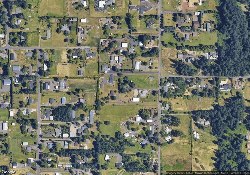
Map
Nearby Homes
- 0 SE Armstrong Cir
- 18680 SE Highway 212
- 17156 SE Macanudo St
- 15694 SE Upman Way
- 18027 SE Emi St
- 14790 SE 172nd Ave
- 14548 SE 172nd Ave
- 15566 SE Melinda Ct
- 14543 SE West Park Ct
- 16911 SE Siri Ct
- 15556 SE Gladys Rose Way
- 16381 SE Deer Meadow Loop
- 16566 SE Deer Meadow Loop
- 14120 SE Brent Ave
- 20320 SE Walgren Rd
- 16400 SE Highway 224
- 15786 SE Jansik Ct
- 16300 SE Highway 224 Unit 8
- 13633 SE 178th Ave
- 16265 SE Highway 224
- 16101 SE Tong Rd
- 16085 SE Tong Rd
- 15919 SE Tong Rd
- 15997 SE Tong Rd
- 15985 SE Tong Rd
- 16151 SE Tong Rd
- 16040 SE Tong Rd
- 16136 SE Bel Air Dr
- 16090 SE Bel Air Dr
- 16116 SE Tong Rd
- 15920 SE Bel Air Dr
- 15851 SE Tong Rd
- 15841 SE Tong Rd
- 15861 SE Tong Rd
- 16211 SE Tong Rd
- 16200 SE Tong Rd
- 16255 SE Tong Rd
- 15900 SE Bel Air Dr
- 16216 SE Bel Air Dr
- 16070 SE Bel Air Dr