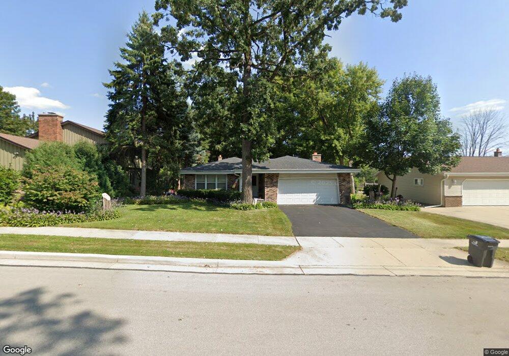
1605 Michael Dr Waukesha, WI 53189
Estimated Value: $362,000 - $398,448
3
Beds
2
Baths
1,617
Sq Ft
$236/Sq Ft
Est. Value
About This Home
This home is located at 1605 Michael Dr, Waukesha, WI 53189 and is currently estimated at $380,862, approximately $235 per square foot. 1605 Michael Dr is a home located in Waukesha County with nearby schools including Waukesha STEM Academy, Horning Middle School, and South High School.
Ownership History
Date
Name
Owned For
Owner Type
Purchase Details
Closed on
Jun 26, 2024
Sold by
Hunkel Colette J
Bought by
Colette J Hunkel Revocable Trust and Hunkel
Current Estimated Value
Purchase Details
Closed on
Jun 29, 2007
Sold by
Hunkel Scott
Bought by
Hunkel Colette J
Create a Home Valuation Report for This Property
The Home Valuation Report is an in-depth analysis detailing your home's value as well as a comparison with similar homes in the area
Home Values in the Area
Average Home Value in this Area
Purchase History
| Date | Buyer | Sale Price | Title Company |
|---|---|---|---|
| Colette J Hunkel Revocable Trust | -- | None Listed On Document | |
| Hunkel Colette J | -- | None Available |
Source: Public Records
Tax History Compared to Growth
Tax History
| Year | Tax Paid | Tax Assessment Tax Assessment Total Assessment is a certain percentage of the fair market value that is determined by local assessors to be the total taxable value of land and additions on the property. | Land | Improvement |
|---|---|---|---|---|
| 2024 | $4,546 | $307,500 | $82,500 | $225,000 |
| 2023 | $4,417 | $307,500 | $82,500 | $225,000 |
| 2022 | $3,846 | $202,500 | $60,100 | $142,400 |
| 2021 | $3,932 | $202,500 | $60,100 | $142,400 |
| 2020 | $3,807 | $202,500 | $60,100 | $142,400 |
| 2019 | $3,684 | $202,500 | $60,100 | $142,400 |
| 2018 | $3,383 | $182,400 | $53,500 | $128,900 |
| 2017 | $3,379 | $182,400 | $53,500 | $128,900 |
| 2016 | $3,500 | $177,100 | $53,500 | $123,600 |
| 2015 | $3,481 | $177,100 | $53,500 | $123,600 |
| 2014 | $3,520 | $171,900 | $53,500 | $118,400 |
| 2013 | $3,520 | $171,900 | $53,500 | $118,400 |
Source: Public Records
Map
Nearby Homes
- 1522 Big Bend Rd Unit G
- 1936 Cliff Alex Ct N
- 1432 Big Bend Rd Unit E
- 455 Standing Stone Dr
- 414 Standing Stone Dr Unit 8-16
- 421 Standing Stone Dr Unit 17-39
- 424 Standing Stone Dr Unit 9-17
- 435 Standing Stone Dr Unit 16-37
- 605 Standing Stone Dr
- 609 Standing Stone Dr
- 625 Standing Stone Dr
- 613 Standing Stone Dr
- 621 Standing Stone Dr
- 633 Standing Stone Dr
- 1438 Tenny Ave Unit 101
- The Sawyer Plan at Tenny Woods
- The Everest Plan at Tenny Woods
- The Elaine Plan at Tenny Woods
- The Margot Plan at Tenny Woods
- The Harlow Plan at Tenny Woods
- 1609 Michael Dr
- 1650 Garfield Ave
- 1608 Michael Dr
- 1651 Garfield Ave
- 1647 Garfield Ave
- 1600 Michael Dr
- 1643 Garfield Ave
- 1617 Michael Dr
- 1612 Michael Dr
- 1636 Garfield Ave
- 1637 Garfield Ave
- 1621 Michael Dr
- 1632 Garfield Ave
- 1701 Michael Dr
- 1631 Garfield Ave
- 118 Richard St
- 1705 Michael Dr
- 1709 Michael Dr
- 124 Richard St
- 1628 Garfield Ave